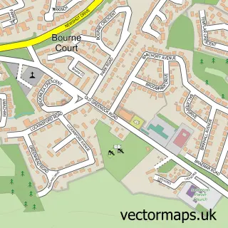
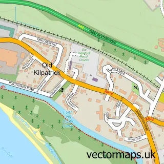
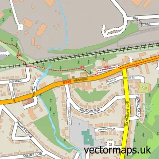
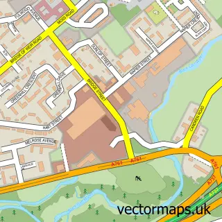
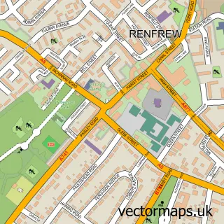
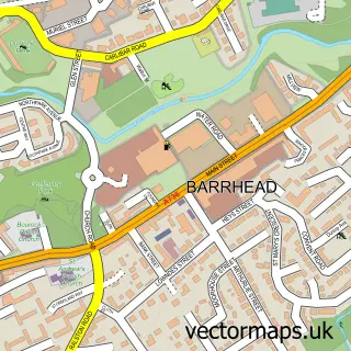
This Paisley street map is a detailed vector street map covering a 750m x 750m area. Select a larger area to create and download your own vector street map of Paisley.
The 750-metre map sample for Paisley covers 142 mapped buildings and approximately 22.7 km of road detail, of which 60 named roads are named. The immediate area includes 1 railway station, 3 GP surgeries, with 12 within 2 miles, 21 pubs and 2 MOT stations, with 31 within 2 miles. The wider area around Paisley features 10 tourism points of interest, 77 food and drink venues and 4 hotels. To create a larger or custom map of Paisley, the map builder lets you define your own coverage area and download editable SVG, PDF and PNG files.
Create a larger editable map of Paisley
Choose any area you need and generate a high-quality vector map instantly. Perfect for print, planning, design, business and personal use.

This Paisley street map in Renfrewshire is available as downloadable SVG, PDF and PNG map files, or as a printed map for planning, business, display, education, local information and design work. You can also create a larger custom map area using the map selector.
What this Paisley map sample shows
Paisley lies within Renfrewshire parish, part of Paisley East And Central ward in the Renfrewshire local authority area. The postcode geography for this area includes the PA postcode area, the PA1 postcode district and the PA1 1 postcode sector. Residents fall under the Greater Glasgow And Clyde for NHS services.
Local features near Paisley
Within 2 milesAmenities and services in and around Paisley.
Administrative and postcode information for Paisley
The local authority covering Paisley is Renfrewshire, within the county of Renfrewshire. The settlement lies within Paisley East And Central ward and Renfrewshire civil parish. The PA1 postcode district and PA1 1 postcode sector serve the immediate area. NHS provision in the area is delivered through Greater Glasgow And Clyde.
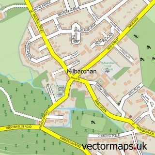
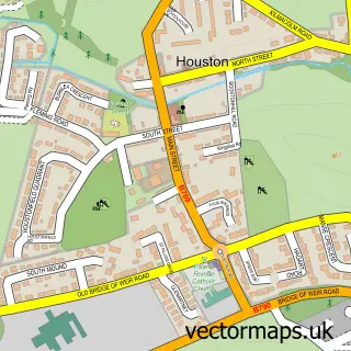
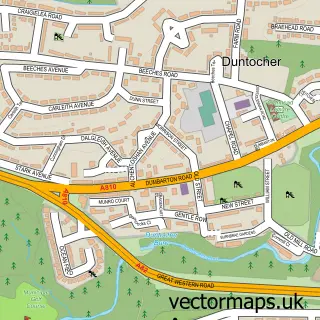
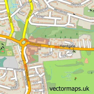
Nearby street map samples around Paisley

More street maps in Renfrewshire
750 metre map area coverage
Boundary, postcode and point of interest information for the 750m x 750m rectangle centred on this sample map.
Boundaries containing map centre
Constituency: Paisley and Renfrewshire South Co Const
District: Renfrewshire
Icb: Greater Glasgow and Clyde
Postcode District: PA1
Postcode Sector: PA1 2
Ward: Paisley East and Central Ward
Nearby boundaries intersecting sample
Constituency: Paisley and Renfrewshire North Burgh Const
Postcode District: PA3
Postcode Sector: PA1 1, PA3 2, PA3 4
Ward: Paisley Northeast and Ralston Ward, Paisley Northwest Ward, Renfrew South and Gallowhill Ward
Postcode coverage
POI category counts
Beauty Salon: 36
Hair Salon: 26
Cafe: 24
Pub: 21
Beauty And Spa: 20
Bar: 19
Church Cathedral: 17
Restaurant: 17
Charity Organization: 16
Clothing Store: 15
Sample points of interest
- Donn Sheldon
- Total Accounting
- Evolution MCC
- Hua Ren TCM Wellness
- Superherb Ltd.
- Renfrewshire Drug Service
- Argyll Training
- Krish India Design
- Adele Logan
- Gleniffer Thistle Girls and Ladies
- X And Os
- Holy Trinity and St Barnabas Scottish Episcopal Church
Create a larger editable map of Paisley
This sample shows only a 750 metre area. To create a larger map of Paisley, use our map builder to choose your own coverage area, add titles and download editable SVG, PDF and PNG files.
Create a custom map of Paisley