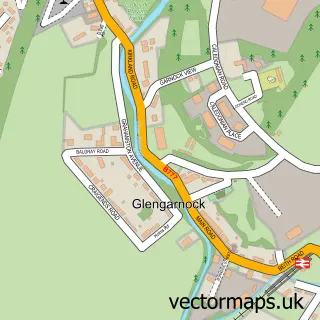
This Kilbirnie street map is a detailed vector street map covering a 750m x 750m area. Select a larger area to create and download your own vector street map of Kilbirnie.
The 750-metre map sample for Kilbirnie covers 351 mapped buildings and approximately 17.7 km of road detail, of which 45 named roads are named. The immediate area includes 1 GP surgery within 2 miles, 2 pubs and 3 MOT stations within 2 miles. The wider area around Kilbirnie features 9 food and drink venues. To create a larger or custom map of Kilbirnie, the map builder lets you define your own coverage area and download editable SVG, PDF and PNG files.
Create a larger editable map of Kilbirnie
Choose any area you need and generate a high-quality vector map instantly. Perfect for print, planning, design, business and personal use.

This Kilbirnie street map in Ayrshire and Arran is available as downloadable SVG, PDF and PNG map files, or as a printed map for planning, business, display, education, local information and design work. You can also create a larger custom map area using the map selector.
What this Kilbirnie map sample shows
Kilbirnie lies within North Ayrshire parish, part of Kilbirnie And Beith ward in the North Ayrshire local authority area. The postcode geography for this area includes the KA postcode area, the KA25 postcode district and the KA25 7 postcode sector. Residents fall under the Ayrshire And Arran for NHS services.
Local features near Kilbirnie
Within 2 milesAmenities and services in and around Kilbirnie.
Administrative and postcode information for Kilbirnie
The local authority covering Kilbirnie is North Ayrshire, within the county of Ayrshire And Arran. The settlement lies within Kilbirnie And Beith ward and North Ayrshire civil parish. The KA25 postcode district and KA25 7 postcode sector serve the immediate area. NHS provision in the area is delivered through Ayrshire And Arran.
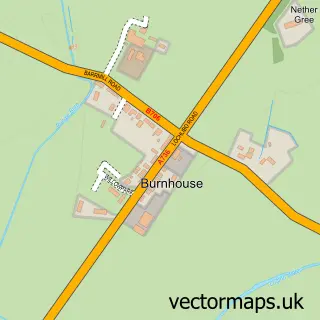
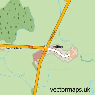
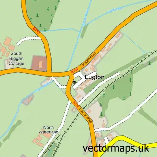
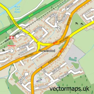
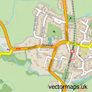
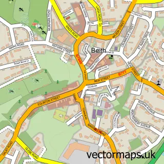
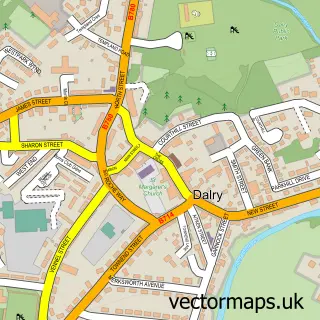
Nearby street map samples around Kilbirnie

More street maps in Ayrshire and Arran
750 metre map area coverage
Boundary, postcode and point of interest information for the 750m x 750m rectangle centred on this sample map.
Boundaries containing map centre
Constituency: North Ayrshire and Arran Co Const
District: North Ayrshire
Icb: Ayrshire and Arran
Postcode District: KA25
Postcode Sector: KA25 7
Ward: Garnock Valley Ward
Nearby boundaries intersecting sample
Postcode District: KA14
Postcode Sector: KA14 3, KA25 6
Postcode coverage
POI category counts
Restaurant: 5
Cremation Services: 4
Funeral Services And Cemeteries: 4
Professional Services: 4
Barber: 3
Beauty And Spa: 3
Church Cathedral: 3
Banks: 2
Beauty Salon: 2
Betting Center: 2
Sample points of interest
- The Studio and Gallery - Kilbirnie Art Gallery
- OLD Cottage
- Garnock Valley Arts Resource Centre
- Aspire Education
- Walker Street Garage
- Clydesdale Bank
- TSB Bank
- Ramages Bar
- Barbecue hut
- Ace of Cuts Barbers
- Kilbirnie Turkish barber
- Nina's Barber Shop
Create a larger editable map of Kilbirnie
This sample shows only a 750 metre area. To create a larger map of Kilbirnie, use our map builder to choose your own coverage area, add titles and download editable SVG, PDF and PNG files.
Create a custom map of Kilbirnie