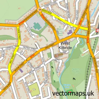
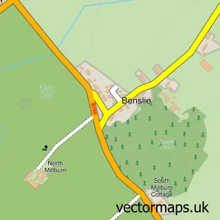
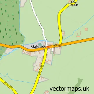
This Seamill street map is a detailed vector street map covering a 750m x 750m area. Select a larger area to create and download your own vector street map of Seamill.
The 750-metre map sample for Seamill covers 316 mapped buildings and approximately 10.9 km of road detail, of which 16 named roads are named. The immediate area includes 1 MOT station within 2 miles. The wider area around Seamill features 2 food and drink venues and 2 hotels. To create a larger or custom map of Seamill, the map builder lets you define your own coverage area and download editable SVG, PDF and PNG files.
Create a larger editable map of Seamill
Choose any area you need and generate a high-quality vector map instantly. Perfect for print, planning, design, business and personal use.

This Seamill street map in Ayrshire and Arran is available as downloadable SVG, PDF and PNG map files, or as a printed map for planning, business, display, education, local information and design work. You can also create a larger custom map area using the map selector.
What this Seamill map sample shows
Seamill lies within North Ayrshire parish, part of Dalry And West Kilbride ward in the North Ayrshire local authority area. The postcode geography for this area includes the KA postcode area, the KA23 postcode district and the KA23 9 postcode sector. Residents fall under the Ayrshire And Arran for NHS services.
Local features near Seamill
Within 2 milesAmenities and services in and around Seamill.
Administrative and postcode information for Seamill
The local authority covering Seamill is North Ayrshire, within the county of Ayrshire And Arran. The settlement lies within Dalry And West Kilbride ward and North Ayrshire civil parish. The KA23 postcode district and KA23 9 postcode sector serve the immediate area. NHS provision in the area is delivered through Ayrshire And Arran.
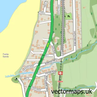
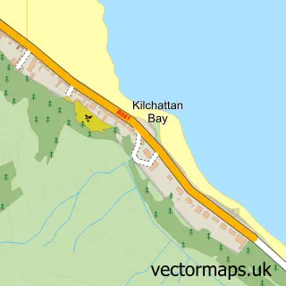
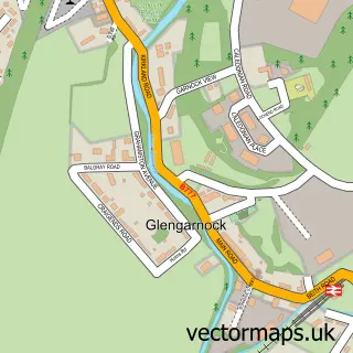
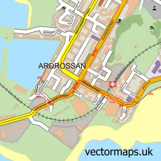
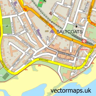
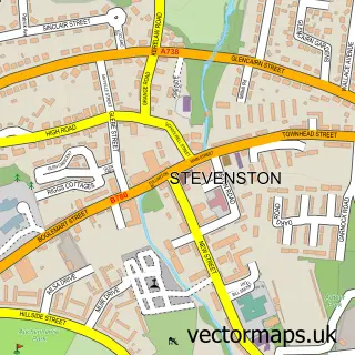
Nearby street map samples around Seamill

More street maps in Ayrshire and Arran
750 metre map area coverage
Boundary, postcode and point of interest information for the 750m x 750m rectangle centred on this sample map.
Boundaries containing map centre
Constituency: North Ayrshire and Arran Co Const
District: North Ayrshire
Icb: Ayrshire and Arran
Postcode District: KA23
Postcode Sector: KA23 9
Ward: North Coast Ward
Nearby boundaries intersecting sample
No additional intersecting boundaries found.
Postcode coverage
POI category counts
Professional Services: 3
Hotel: 2
Restaurant: 2
Used Car Dealer: 2
Advertising Agency: 1
Architectural Designer: 1
Bar: 1
Beach: 1
Bed And Breakfast: 1
Building Supply Store: 1
Sample points of interest
- Southern Design
- The Home Architect
- Aura Lounge Bar
- Seamill Beach
- Carlton Seamill B & B
- John C Young & Son
- The Detailing Company
- SM Carpet Cleaning
- CARO bathrooms and kitchens
- Bonnie Driving School
- Woodland Wakeup
- Vikktoryfitness_Personal trainer
Create a larger editable map of Seamill
This sample shows only a 750 metre area. To create a larger map of Seamill, use our map builder to choose your own coverage area, add titles and download editable SVG, PDF and PNG files.
Create a custom map of Seamill