Vector Maps logo
Home Why it works Popular maps Districts Samples Customizer Create Your Map
VectorMaps.uk
Home Popular maps Districts Samples Customizer Create Your Map Privacy Disclaimer
Home / UK Maps / Ayrshire and Arran / Stevenston Map

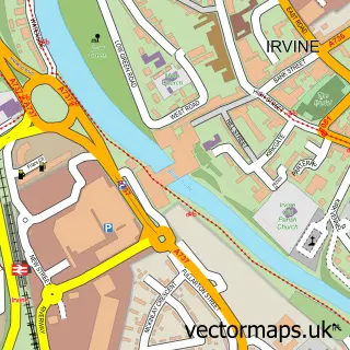
This Stevenston street map is a detailed vector street map covering a 750m x 750m area. Select a larger area to create and download your own vector street map of Stevenston.

Stevenston is a town in Ayrshire And Arran, in the West Scotland of Scotland. Historically, the area formed part of Ayrshire. The settlement falls within the North Ayrshire And Arran parliamentary constituency. It is served by the KA20 postcode district,

The 750-metre map sample for Stevenston covers 407 mapped buildings and approximately 18.0 km of road detail, of which 30 named roads are named. The immediate area includes 2 GP surgeries, with 3 within 2 miles, 5 pubs and 1 MOT station, with 9 within 2 miles. The wider area around Stevenston features 1 tourism point of interest, 7 food and drink venues and 1 campsite within 2 miles. To create a larger or custom map of Stevenston, the map builder lets you define your own coverage area and download editable SVG, PDF and PNG files.

407Buildings
18.02 kmRoads
30Named roads
0Residents within 2 miles
Create your own

Create a larger editable map of Stevenston

Choose any area you need and generate a high-quality vector map instantly. Perfect for print, planning, design, business and personal use.

Choose any location
Editable SVG files
Any size up to A0
PDF, PNG & more
Instant download
High quality guaranteed
Create My Custom Map
Secure, private & no credit card required
Stevenston Vector Street Map
750m Sample
Stevenston vector street map sample showing roads, buildings and local features in a 750 metre preview area
Buy Stevenston Map Print from £12.95 Buy Stevenston Digital Map from £6

This Stevenston street map in Ayrshire and Arran is available as downloadable SVG, PDF and PNG map files, or as a printed map for planning, business, display, education, local information and design work. You can also create a larger custom map area using the map selector.

What this Stevenston map sample shows

Stevenston lies within North Ayrshire parish, part of Stevenston ward in the North Ayrshire local authority area. The postcode geography for this area includes the KA postcode area, the KA20 postcode district and the KA20 4 postcode sector. Residents fall under the Ayrshire And Arran for NHS services.

Local features near Stevenston

Within 2 miles

Amenities and services in and around Stevenston.

1 Campsites within 2 miles
2 GP surgeries 3 within 2 miles
1 MOT stations 9 within 2 miles
1 Tourism & leisure
7 Food & drink
5 Pubs
8 Healthcare POIs
5 Vehicle services

Counts are approximate and based on publicly available data.

Administrative and postcode information for Stevenston

The local authority covering Stevenston is North Ayrshire, within the county of Ayrshire And Arran. The settlement lies within Stevenston ward and North Ayrshire civil parish. The KA20 postcode district and KA20 4 postcode sector serve the immediate area. NHS provision in the area is delivered through Ayrshire And Arran.

Parish NORTH AYRSHIRE
Ward Stevenston
District / local authority North Ayrshire
County Ayrshire and Arran
Historic county Ayrshire
Postcode district KA20
Postcode sector KA20 4
Parliamentary constituency North Ayrshire and Arran
Region West Scotland
Country Scotland

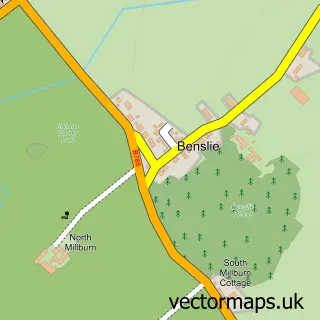
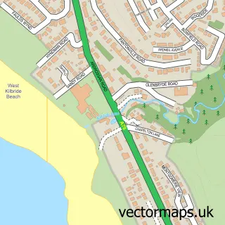
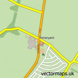
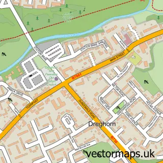
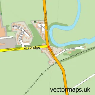
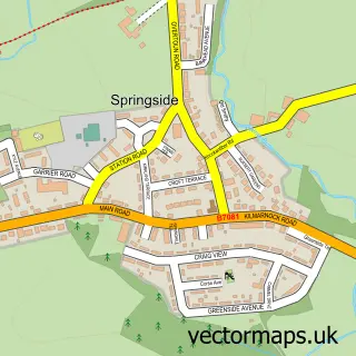
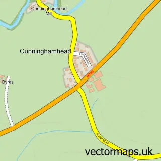
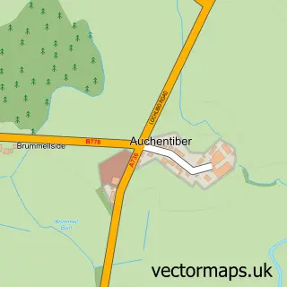
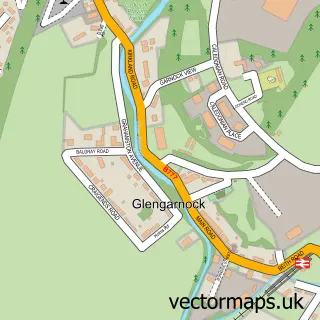
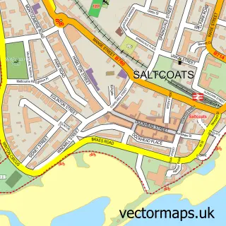
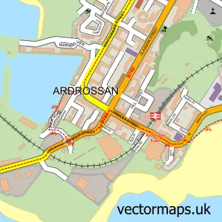
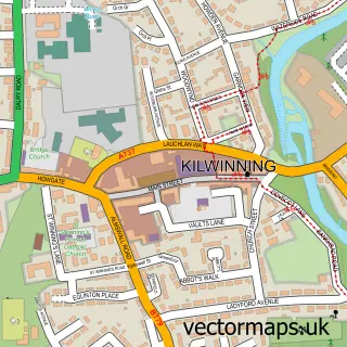
Nearby street map samples around Stevenston

Street map sample of Glasgow, City of Glasgow Glasgow City - City of Glasgow - 24.9 miles Street map sample of Benslie, Ayrshire and Arran Benslie Village - Ayrshire and Arran - 4.4 miles Street map sample of Seamill, Ayrshire and Arran Seamill Village - Ayrshire and Arran - 5.1 miles Street map sample of Torranyard, Ayrshire and Arran Torranyard Village - Ayrshire and Arran - 5.8 miles Street map sample of Dreghorn, Ayrshire and Arran Dreghorn Village - Ayrshire and Arran - 5.9 miles Street map sample of Drybridge, Ayrshire and Arran Drybridge Village - Ayrshire and Arran - 6.7 miles Street map sample of Springside, Ayrshire and Arran Springside Village - Ayrshire and Arran - 6.7 miles Street map sample of Cunninghamhead, Ayrshire and Arran Cunninghamhead Village - Ayrshire and Arran - 6.9 miles Street map sample of Auchentiber, Ayrshire and Arran Auchentiber Village - Ayrshire and Arran - 6.9 miles Street map sample of Glengarnock, Ayrshire and Arran Glengarnock Village - Ayrshire and Arran - 7.6 miles

More street maps in Ayrshire and Arran

Street map sample of Saltcoats, Ayrshire and Arran Saltcoats Town - 1.3 miles Street map sample of Ardrossan, Ayrshire and Arran Ardrossan Town - 2.3 miles Street map sample of Kilwinning, Ayrshire and Arran Kilwinning Town - 2.4 miles Street map sample of Irvine, Ayrshire and Arran Irvine Town - 3.9 miles Street map sample of Benslie, Ayrshire and Arran Benslie Village - 4.4 miles

750 metre map area coverage

Boundary, postcode and point of interest information for the 750m x 750m rectangle centred on this sample map.

Boundaries containing map centre

Constituency: North Ayrshire and Arran Co Const

District: North Ayrshire

Icb: Ayrshire and Arran

Postcode District: KA20

Postcode Sector: KA20 3

Ward: Saltcoats and Stevenston Ward

Nearby boundaries intersecting sample

Postcode Sector: KA20 4

Postcode coverage

KA20 KA20 3 KA20 4

POI category counts

Convenience Store: 7

Pub: 5

Gas Station: 4

Barber: 3

Beauty Salon: 3

Chinese Restaurant: 3

Church Cathedral: 3

Pharmacy: 3

Bar: 2

Betting Center: 2

Sample points of interest

  • Rare Trade: Ayrshire Web Design & SEO Advertising Agency
  • Ardeer Thistle Football Club Amateur Sports Team
  • Auchenharvie Filling Station Atms
  • D & L Motor Co Automotive Repair
  • Simply Scrumptious Bakery
  • The Crosskeys Bar
  • The Grant Arms Bar
  • Alan Turkish Barber Barber
  • Archies Turkish Barbers Barber
  • The Barber Shop Barber
  • Ardeer Beach, Stevenston Beach
  • Haus Of Havlin Beauty And Spa

Create a larger editable map of Stevenston

This sample shows only a 750 metre area. To create a larger map of Stevenston, use our map builder to choose your own coverage area, add titles and download editable SVG, PDF and PNG files.

Create a custom map of Stevenston

Phone 01751 473136 | Copyright Vectormaps.uk 2026

Samples Customizer Privacy Disclaimer
Stevenston Vector Street Map
Stevenston enlarged street map sample showing a 750 metre preview area