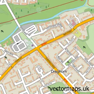
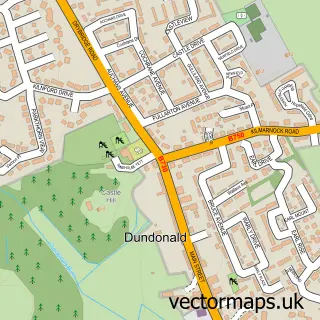
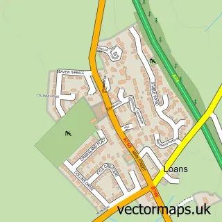
This Irvine street map is a detailed vector street map covering a 750m x 750m area. Select a larger area to create and download your own vector street map of Irvine.
The 750-metre map sample for Irvine covers 165 mapped buildings and approximately 19.3 km of road detail, of which 27 named roads are named. The immediate area includes 1 railway station, 1 GP surgery, with 4 within 2 miles, 7 pubs and 15 MOT stations within 2 miles. The wider area around Irvine features 4 tourism points of interest, 24 food and drink venues and 5 hotels. To create a larger or custom map of Irvine, the map builder lets you define your own coverage area and download editable SVG, PDF and PNG files.
Create a larger editable map of Irvine
Choose any area you need and generate a high-quality vector map instantly. Perfect for print, planning, design, business and personal use.

This Irvine street map in Ayrshire and Arran is available as downloadable SVG, PDF and PNG map files, or as a printed map for planning, business, display, education, local information and design work. You can also create a larger custom map area using the map selector.
What this Irvine map sample shows
Irvine lies within North Ayrshire parish, part of Irvine West ward in the North Ayrshire local authority area. The postcode geography for this area includes the KA postcode area, the KA12 postcode district and the KA12 0 postcode sector. Residents fall under the Ayrshire And Arran for NHS services.
Local features near Irvine
Within 2 milesAmenities and services in and around Irvine.
Administrative and postcode information for Irvine
Irvine lies within North Ayrshire parish, part of Irvine West ward in the North Ayrshire local authority area. The postcode geography for this area includes the KA postcode area, the KA12 postcode district and the KA12 0 postcode sector. Residents fall under the Ayrshire And Arran for NHS services.
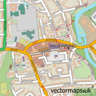
Nearby street map samples around Irvine

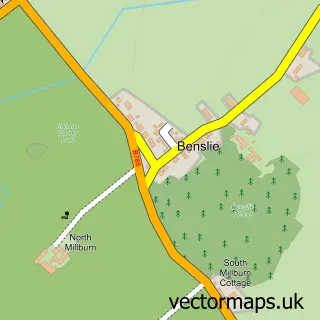
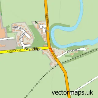
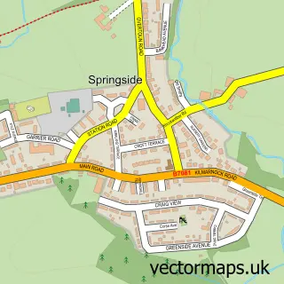
More street maps in Ayrshire and Arran
750 metre map area coverage
Boundary, postcode and point of interest information for the 750m x 750m rectangle centred on this sample map.
Boundaries containing map centre
Constituency: Central Ayrshire Co Const
District: North Ayrshire
Icb: Ayrshire and Arran
Postcode District: KA12
Postcode Sector: KA12 8
Ward: Irvine South Ward
Nearby boundaries intersecting sample
Postcode Sector: KA12 0
Ward: Irvine West Ward
Postcode coverage
POI category counts
Beauty Salon: 28
Mobile Phone Store: 15
Hair Salon: 14
Beauty And Spa: 11
Supermarket: 11
Bank Credit Union: 9
Clothing Store: 9
Cafe: 8
Church Cathedral: 7
Community Services Non Profits: 7
Sample points of interest
- VOC a
- Admiral Casino: Irvine
- Brighthouse
- Currys PC World featuring Carphone Warehouse
- Wool and Creations
- The Ambassador
- East Road Valet Centre
- DG Autos
- Level 2 Systems
- Argos
- Brownings The Bakers Ltd
- Brownings the Bakers
Create a larger editable map of Irvine
This sample shows only a 750 metre area. To create a larger map of Irvine, use our map builder to choose your own coverage area, add titles and download editable SVG, PDF and PNG files.
Create a custom map of Irvine