Vector Maps logo
Home Why it works Popular maps Districts Samples Customizer Create Your Map
VectorMaps.uk
Home Popular maps Districts Samples Customizer Create Your Map Privacy Disclaimer
Home / UK Maps / Ayrshire and Arran / Dundonald Map

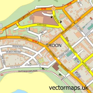
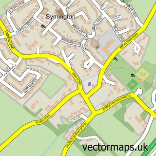
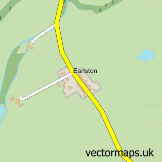
This Dundonald street map is a detailed vector street map covering a 750m x 750m area. Select a larger area to create and download your own vector street map of Dundonald.

Dundonald is a village in Ayrshire And Arran, in the South Scotland of Scotland. Historically, the area formed part of Ayrshire. The settlement falls within the Central Ayrshire parliamentary constituency. It is served by the KA2 postcode district, with K

The 750-metre map sample for Dundonald covers 404 mapped buildings and approximately 14.8 km of road detail, of which 31 named roads are named. The immediate area includes 1 GP surgery and 1 pub. The wider area around Dundonald features 1 tourism point of interest and 3 food and drink venues. To create a larger or custom map of Dundonald, the map builder lets you define your own coverage area and download editable SVG, PDF and PNG files.

404Buildings
14.8 kmRoads
31Named roads
0Residents within 2 miles
Create your own

Create a larger editable map of Dundonald

Choose any area you need and generate a high-quality vector map instantly. Perfect for print, planning, design, business and personal use.

Choose any location
Editable SVG files
Any size up to A0
PDF, PNG & more
Instant download
High quality guaranteed
Create My Custom Map
Secure, private & no credit card required
Dundonald Vector Street Map
750m Sample
Dundonald vector street map sample showing roads, buildings and local features in a 750 metre preview area
Buy Dundonald Map Print from £12.95 Buy Dundonald Digital Map from £6

This Dundonald street map in Ayrshire and Arran is available as downloadable SVG, PDF and PNG map files, or as a printed map for planning, business, display, education, local information and design work. You can also create a larger custom map area using the map selector.

What this Dundonald map sample shows

Dundonald lies within South Ayrshire parish, part of Kyle ward in the South Ayrshire local authority area. The postcode geography for this area includes the KA postcode area, the KA2 postcode district and the KA2 9 postcode sector. Residents fall under the Ayrshire And Arran for NHS services.

Local features near Dundonald

Within 2 miles

Amenities and services in and around Dundonald.

1 GP surgeries 1 within 2 miles
1 Tourism & leisure
3 Food & drink
1 Pubs
1 Healthcare POIs
1 Vehicle services

Counts are approximate and based on publicly available data.

Administrative and postcode information for Dundonald

Dundonald lies within South Ayrshire parish, part of Kyle ward in the South Ayrshire local authority area. The postcode geography for this area includes the KA postcode area, the KA2 postcode district and the KA2 9 postcode sector. Residents fall under the Ayrshire And Arran for NHS services.

Parish SOUTH AYRSHIRE
Ward Kyle
District / local authority South Ayrshire
County Ayrshire and Arran
Historic county Ayrshire
Postcode district KA2
Postcode sector KA2 9
Parliamentary constituency Central Ayrshire
Region South Scotland
Country Scotland

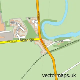
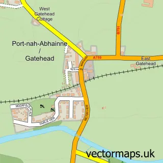
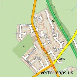
Nearby street map samples around Dundonald

Street map sample of Troon, Ayrshire and Arran Troon Town - Ayrshire and Arran - 3.6 miles Street map sample of Glasgow, City of Glasgow Glasgow City - City of Glasgow - 23.7 miles Street map sample of Drybridge, Ayrshire and Arran Drybridge Village - Ayrshire and Arran - 1.3 miles Street map sample of Gatehead, Ayrshire and Arran Gatehead Village - Ayrshire and Arran - 2.0 miles Street map sample of Loans, Ayrshire and Arran Loans Village - Ayrshire and Arran - 2.2 miles Street map sample of Symington, Ayrshire and Arran Symington Village - Ayrshire and Arran - 2.3 miles Street map sample of Dreghorn, Ayrshire and Arran Dreghorn Village - Ayrshire and Arran - 2.4 miles Street map sample of Bogend, Ayrshire and Arran Bogend Village - Ayrshire and Arran - 2.5 miles Street map sample of Springside, Ayrshire and Arran Springside Village - Ayrshire and Arran - 2.5 miles Street map sample of Earlston, Ayrshire and Arran Earlston Village - Ayrshire and Arran - 2.6 miles

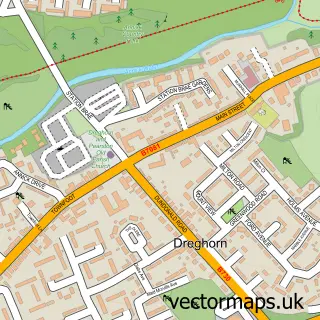
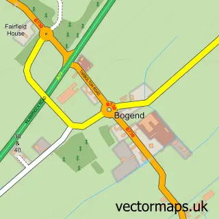
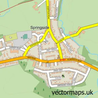
More street maps in Ayrshire and Arran

Street map sample of Drybridge, Ayrshire and Arran Drybridge Village - 1.3 miles Street map sample of Gatehead, Ayrshire and Arran Gatehead Village - 2.0 miles Street map sample of Loans, Ayrshire and Arran Loans Village - 2.2 miles Street map sample of Symington, Ayrshire and Arran Symington Village - 2.3 miles Street map sample of Dreghorn, Ayrshire and Arran Dreghorn Village - 2.4 miles

750 metre map area coverage

Boundary, postcode and point of interest information for the 750m x 750m rectangle centred on this sample map.

Boundaries containing map centre

Constituency: Central Ayrshire Co Const

District: South Ayrshire

Icb: Ayrshire and Arran

Postcode District: KA2

Postcode Sector: KA2 9

Ward: Kyle Ward

Nearby boundaries intersecting sample

No additional intersecting boundaries found.

Postcode coverage

KA2 KA2 9

POI category counts

Convenience Store: 3

Active Life: 2

Hair Salon: 2

Web Designer: 2

Automotive Repair: 1

Bakery: 1

Bar: 1

Beauty Product Supplier: 1

Beauty Salon: 1

Beverage Store: 1

Sample points of interest

  • Dundonald Gymnastics Club Active Life
  • Dundonald Loch Lomond Golf Course Active Life
  • JDS Autocare Automotive Repair
  • Bake That Bakery
  • The Auchans Bar
  • Shear Genius Beauty Product Supplier
  • Beauty and Bliss Beauty Salon
  • Ayrshire Hampers Beverage Store
  • Chefs World Buffet Buffet Restaurant
  • The Carpet Master Building Supply Store
  • John Rankin Family Butchers Butcher Shop
  • Da Sauza Café Cafe

Create a larger editable map of Dundonald

This sample shows only a 750 metre area. To create a larger map of Dundonald, use our map builder to choose your own coverage area, add titles and download editable SVG, PDF and PNG files.

Create a custom map of Dundonald

Phone 01751 473136 | Copyright Vectormaps.uk 2026

Samples Customizer Privacy Disclaimer
Dundonald Vector Street Map
Dundonald enlarged street map sample showing a 750 metre preview area