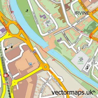
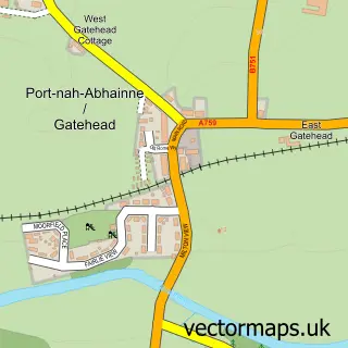
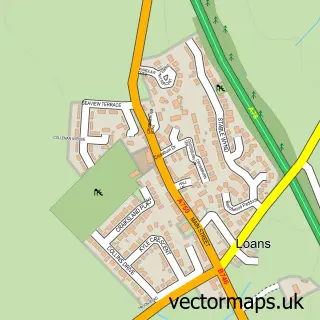
This Drybridge street map is a detailed vector street map covering a 750m x 750m area. Select a larger area to create and download your own vector street map of Drybridge.
The 750-metre map sample for Drybridge covers 77 mapped buildings and approximately 5.3 km of road detail, of which 7 named roads are named. The immediate area includes 1 GP surgery within 2 miles and 4 MOT stations within 2 miles. The wider area around Drybridge features 2 tourism points of interest. To create a larger or custom map of Drybridge, the map builder lets you define your own coverage area and download editable SVG, PDF and PNG files.
Create a larger editable map of Drybridge
Choose any area you need and generate a high-quality vector map instantly. Perfect for print, planning, design, business and personal use.

This Drybridge street map in Ayrshire and Arran is available as downloadable SVG, PDF and PNG map files, or as a printed map for planning, business, display, education, local information and design work. You can also create a larger custom map area using the map selector.
What this Drybridge map sample shows
Drybridge lies within North Ayrshire parish, part of Irvine South ward in the North Ayrshire local authority area. The postcode geography for this area includes the KA postcode area, the KA11 postcode district and the KA11 5 postcode sector. Residents fall under the Ayrshire And Arran for NHS services.
Local features near Drybridge
Within 2 milesAmenities and services in and around Drybridge.
Administrative and postcode information for Drybridge
The local authority covering Drybridge is North Ayrshire, within the county of Ayrshire And Arran. The settlement lies within Irvine South ward and North Ayrshire civil parish. The KA11 postcode district and KA11 5 postcode sector serve the immediate area. NHS provision in the area is delivered through Ayrshire And Arran.
Nearby street map samples around Drybridge

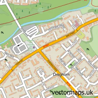
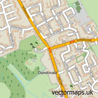
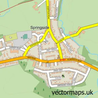
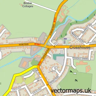
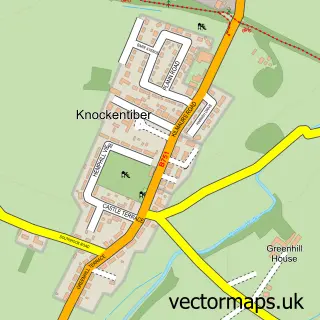
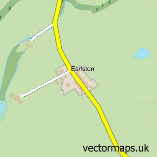
More street maps in Ayrshire and Arran
750 metre map area coverage
Boundary, postcode and point of interest information for the 750m x 750m rectangle centred on this sample map.
Boundaries containing map centre
Constituency: Central Ayrshire Co Const
District: North Ayrshire
Icb: Ayrshire and Arran
Postcode District: KA11
Postcode Sector: KA11 5
Ward: Irvine South Ward
Nearby boundaries intersecting sample
District: South Ayrshire
Postcode District: KA2
Postcode Sector: KA2 9
Ward: Kyle Ward
Postcode coverage
POI category counts
Landmark And Historical Building: 2
Building Supply Store: 1
Contractor: 1
Convenience Store: 1
Gift Shop: 1
Screen Printing T Shirt Printing: 1
Sample points of interest
- Sam Bennett Decorating Services
- Aable Ayrshire Garden Sheds
- Drybridge Stores Takeaway
- Denny Furniture - Ayrshire
- Drybridge Standing Stone
- Girtrig Mill
- Creative Embroidery
Create a larger editable map of Drybridge
This sample shows only a 750 metre area. To create a larger map of Drybridge, use our map builder to choose your own coverage area, add titles and download editable SVG, PDF and PNG files.
Create a custom map of Drybridge