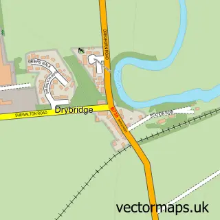
This Knockentiber street map is a detailed vector street map covering a 750m x 750m area. Select a larger area to create and download your own vector street map of Knockentiber.
The 750-metre map sample for Knockentiber covers 190 mapped buildings and approximately 11.3 km of road detail, of which 10 named roads are named. The immediate area includes 4 GP surgeries within 2 miles and 13 MOT stations within 2 miles. The wider area around Knockentiber features 1 tourism point of interest. To create a larger or custom map of Knockentiber, the map builder lets you define your own coverage area and download editable SVG, PDF and PNG files.
Create a larger editable map of Knockentiber
Choose any area you need and generate a high-quality vector map instantly. Perfect for print, planning, design, business and personal use.

This Knockentiber street map in Ayrshire and Arran is available as downloadable SVG, PDF and PNG map files, or as a printed map for planning, business, display, education, local information and design work. You can also create a larger custom map area using the map selector.
What this Knockentiber map sample shows
Knockentiber lies within East Ayrshire parish, part of Kilmarnock West And Crosshouse ward in the East Ayrshire local authority area. The postcode geography for this area includes the KA postcode area, the KA2 postcode district and the KA2 0 postcode sector. Residents fall under the Ayrshire And Arran for NHS services.
Local features near Knockentiber
Within 2 milesAmenities and services in and around Knockentiber.
Administrative and postcode information for Knockentiber
The local authority covering Knockentiber is East Ayrshire, within the county of Ayrshire And Arran. The settlement lies within Kilmarnock West And Crosshouse ward and East Ayrshire civil parish. The KA2 postcode district and KA2 0 postcode sector serve the immediate area. NHS provision in the area is delivered through Ayrshire And Arran.
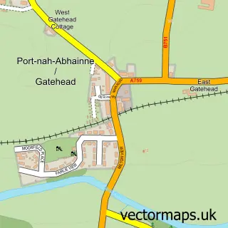
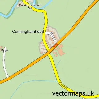
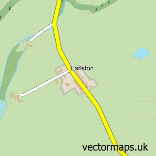
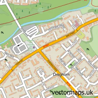
Nearby street map samples around Knockentiber
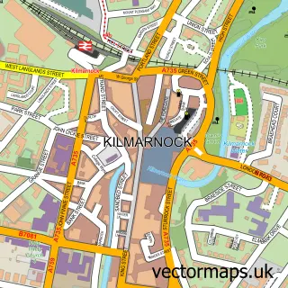

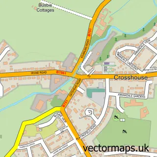
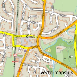
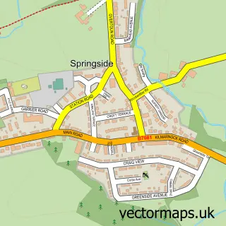
More street maps in Ayrshire and Arran
750 metre map area coverage
Boundary, postcode and point of interest information for the 750m x 750m rectangle centred on this sample map.
Boundaries containing map centre
Constituency: Kilmarnock and Loudoun Co Const
District: East Ayrshire
Icb: Ayrshire and Arran
Postcode District: KA2
Postcode Sector: KA2 0
Ward: Kilmarnock West and Crosshouse Ward
Nearby boundaries intersecting sample
Postcode District: KA3
Postcode Sector: KA3 2
Ward: Annick Ward
Postcode coverage
POI category counts
Automotive Repair: 4
Building Supply Store: 3
Pet Groomer: 2
Arts And Entertainment: 1
Auto Parts And Supply Store: 1
Bakery: 1
Boat Dealer: 1
Carpenter: 1
Castle: 1
Dog Walkers: 1
Sample points of interest
- Elizabeth McCrindle Fine Art
- Cartakeback
- Ayrshire Mini & Metro Centre
- Barry Devlin Services
- CarTakeBack
- Wallace Sandy
- Zoeys Cake Creations
- Approved Boats
- Beattie Roofing
- Bryan Hewitson
- Pro-scape Landscape Services
- SRK Windows & Doors
Create a larger editable map of Knockentiber
This sample shows only a 750 metre area. To create a larger map of Knockentiber, use our map builder to choose your own coverage area, add titles and download editable SVG, PDF and PNG files.
Create a custom map of Knockentiber