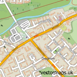
This Crosshouse street map is a detailed vector street map covering a 750m x 750m area. Select a larger area to create and download your own vector street map of Crosshouse.
The 750-metre map sample for Crosshouse covers 301 mapped buildings and approximately 12.1 km of road detail, of which 20 named roads are named. The immediate area includes 1 GP surgery, with 4 within 2 miles, 2 pubs and 2 MOT stations, with 12 within 2 miles. The wider area around Crosshouse features 2 tourism points of interest and 3 food and drink venues. To create a larger or custom map of Crosshouse, the map builder lets you define your own coverage area and download editable SVG, PDF and PNG files.
Create a larger editable map of Crosshouse
Choose any area you need and generate a high-quality vector map instantly. Perfect for print, planning, design, business and personal use.

This Crosshouse street map in Ayrshire and Arran is available as downloadable SVG, PDF and PNG map files, or as a printed map for planning, business, display, education, local information and design work. You can also create a larger custom map area using the map selector.
What this Crosshouse map sample shows
Crosshouse lies within East Ayrshire parish, part of Kilmarnock West And Crosshouse ward in the East Ayrshire local authority area. The postcode geography for this area includes the KA postcode area, the KA2 postcode district and the KA2 0 postcode sector. Residents fall under the Ayrshire And Arran for NHS services.
Local features near Crosshouse
Within 2 milesAmenities and services in and around Crosshouse.
Administrative and postcode information for Crosshouse
The local authority covering Crosshouse is East Ayrshire, within the county of Ayrshire And Arran. The settlement lies within Kilmarnock West And Crosshouse ward and East Ayrshire civil parish. The KA2 postcode district and KA2 0 postcode sector serve the immediate area. NHS provision in the area is delivered through Ayrshire And Arran.
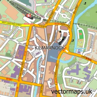
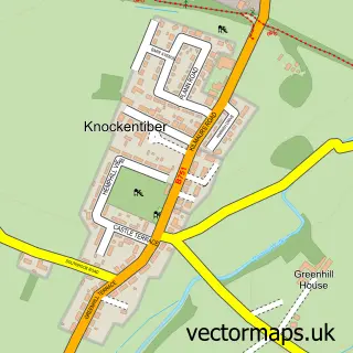
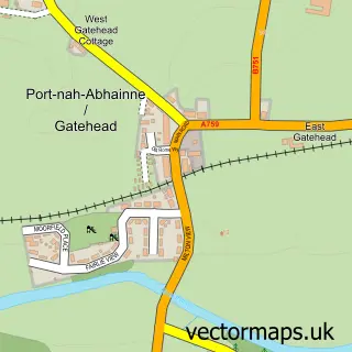
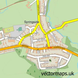
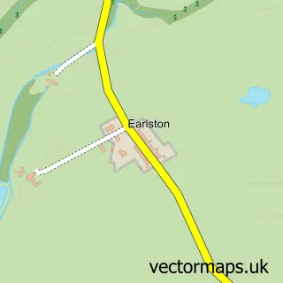
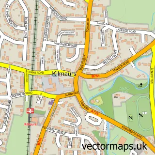
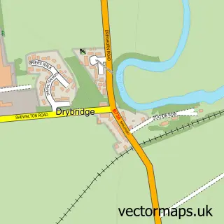
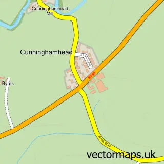
Nearby street map samples around Crosshouse

More street maps in Ayrshire and Arran
750 metre map area coverage
Boundary, postcode and point of interest information for the 750m x 750m rectangle centred on this sample map.
Boundaries containing map centre
Constituency: Kilmarnock and Loudoun Co Const
District: East Ayrshire
Icb: Ayrshire and Arran
Postcode District: KA2
Postcode Sector: KA2 0
Ward: Kilmarnock West and Crosshouse Ward
Nearby boundaries intersecting sample
No additional intersecting boundaries found.
Postcode coverage
POI category counts
Barber: 4
Community Services Non Profits: 3
Roofing: 3
Beauty Salon: 2
Chinese Restaurant: 2
Doctor: 2
Home Goods Store: 2
Park: 2
Pub: 2
Appliance Store: 1
Sample points of interest
- Avondale Electrics
- Bridges Bar
- Dalriada Scaffolding
- Xhouse Car Wash And Valeting centre
- Truck Point Ltd
- Bartling Bakery & Tea Room
- Cross Cuts
- Crosshouse Barbers
- Hazel's Barbers
- Village Studios
- Rumour Makeup & Beauty By Ashlie
- The Hair & Beauty Lounge
Create a larger editable map of Crosshouse
This sample shows only a 750 metre area. To create a larger map of Crosshouse, use our map builder to choose your own coverage area, add titles and download editable SVG, PDF and PNG files.
Create a custom map of Crosshouse