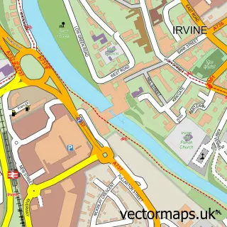
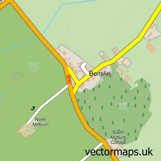
This Dreghorn street map is a detailed vector street map covering a 750m x 750m area. Select a larger area to create and download your own vector street map of Dreghorn.
The 750-metre map sample for Dreghorn covers 393 mapped buildings and approximately 17.4 km of road detail, of which 29 named roads are named. The immediate area includes 2 GP surgeries within 2 miles, 3 pubs and 9 MOT stations within 2 miles. The wider area around Dreghorn features 8 food and drink venues. To create a larger or custom map of Dreghorn, the map builder lets you define your own coverage area and download editable SVG, PDF and PNG files.
Create a larger editable map of Dreghorn
Choose any area you need and generate a high-quality vector map instantly. Perfect for print, planning, design, business and personal use.

This Dreghorn street map in Ayrshire and Arran is available as downloadable SVG, PDF and PNG map files, or as a printed map for planning, business, display, education, local information and design work. You can also create a larger custom map area using the map selector.
What this Dreghorn map sample shows
Dreghorn lies within North Ayrshire parish, part of Irvine South ward in the North Ayrshire local authority area. The postcode geography for this area includes the KA postcode area, the KA11 postcode district and the KA11 5 postcode sector. Residents fall under the Ayrshire And Arran for NHS services.
Local features near Dreghorn
Within 2 milesAmenities and services in and around Dreghorn.
Administrative and postcode information for Dreghorn
The local authority covering Dreghorn is North Ayrshire, within the county of Ayrshire And Arran. The settlement lies within Irvine South ward and North Ayrshire civil parish. The KA11 postcode district and KA11 5 postcode sector serve the immediate area. NHS provision in the area is delivered through Ayrshire And Arran.
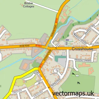
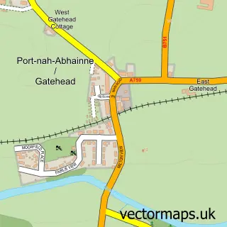
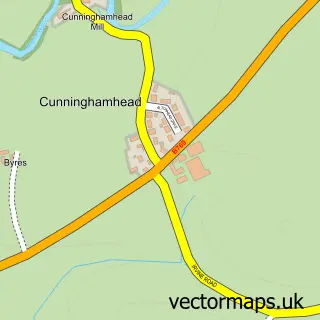
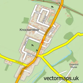
Nearby street map samples around Dreghorn

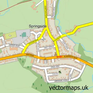
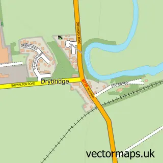
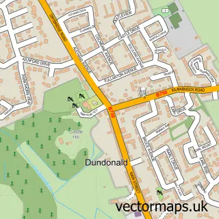
More street maps in Ayrshire and Arran
750 metre map area coverage
Boundary, postcode and point of interest information for the 750m x 750m rectangle centred on this sample map.
Boundaries containing map centre
Constituency: Central Ayrshire Co Const
District: North Ayrshire
Icb: Ayrshire and Arran
Postcode District: KA11
Postcode Sector: KA11 4
Ward: Irvine South Ward
Nearby boundaries intersecting sample
Postcode Sector: KA11 1
Postcode coverage
POI category counts
Beauty And Spa: 3
Church Cathedral: 3
Convenience Store: 3
Flowers And Gifts Shop: 3
Pub: 3
Bar: 2
Butcher Shop: 2
Cafe: 2
Chinese Restaurant: 2
Elementary School: 2
Sample points of interest
- Rice Paper, Dreghorn
- The Cooperative Food (BF) Dreghorn (Swap) (ERF), Dreghorn
- Smart F X Alloy Repairs
- Irvines Bakers and Confectioners
- Anick Tavern
- The Annick Tavern
- Mark'z Barber Shop Dreghorn
- Guru Hair Design
- Kirsty Angus at Elysian
- S and S Barbers
- Betfred
- Post Office-Dreghorn
Create a larger editable map of Dreghorn
This sample shows only a 750 metre area. To create a larger map of Dreghorn, use our map builder to choose your own coverage area, add titles and download editable SVG, PDF and PNG files.
Create a custom map of Dreghorn