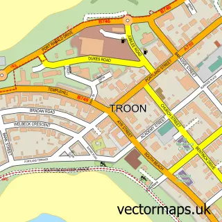
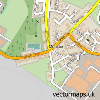
This Loans street map is a detailed vector street map covering a 750m x 750m area. Select a larger area to create and download your own vector street map of Loans.
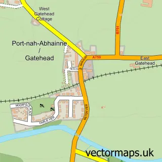
The 750-metre map sample for Loans covers 256 mapped buildings and approximately 17.1 km of road detail, of which 16 named roads are named. The immediate area includes 2 GP surgeries within 2 miles and 1 MOT station within 2 miles. The wider area around Loans features 1 tourism point of interest and 1 hotel. To create a larger or custom map of Loans, the map builder lets you define your own coverage area and download editable SVG, PDF and PNG files.
Create a larger editable map of Loans
Choose any area you need and generate a high-quality vector map instantly. Perfect for print, planning, design, business and personal use.

This Loans street map in Ayrshire and Arran is available as downloadable SVG, PDF and PNG map files, or as a printed map for planning, business, display, education, local information and design work. You can also create a larger custom map area using the map selector.
What this Loans map sample shows
Loans lies within South Ayrshire parish, part of Kyle ward in the South Ayrshire local authority area. The postcode geography for this area includes the KA postcode area, the KA10 postcode district and the KA10 7 postcode sector. Residents fall under the Ayrshire And Arran for NHS services.
Local features near Loans
Within 2 milesAmenities and services in and around Loans.
Administrative and postcode information for Loans
The local authority covering Loans is South Ayrshire, within the county of Ayrshire And Arran. The settlement lies within Kyle ward and South Ayrshire civil parish. The KA10 postcode district and KA10 7 postcode sector serve the immediate area. NHS provision in the area is delivered through Ayrshire And Arran.
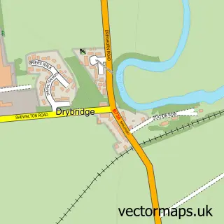
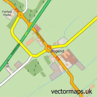
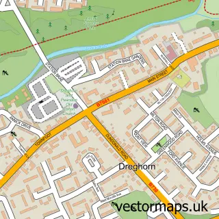
Nearby street map samples around Loans

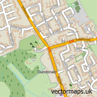
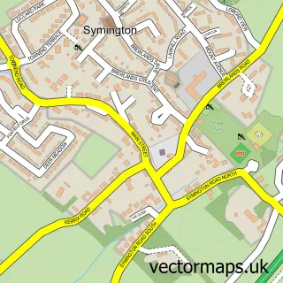
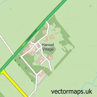
More street maps in Ayrshire and Arran
750 metre map area coverage
Boundary, postcode and point of interest information for the 750m x 750m rectangle centred on this sample map.
Boundaries containing map centre
Constituency: Central Ayrshire Co Const
District: South Ayrshire
Icb: Ayrshire and Arran
Postcode District: KA10
Postcode Sector: KA10 7
Ward: Kyle Ward
Nearby boundaries intersecting sample
Ward: Troon Ward
Postcode coverage
POI category counts
Convenience Store: 4
Bed And Breakfast: 3
Gas Station: 3
Professional Services: 2
Alternative Medicine: 1
Auto Detailing: 1
Beach: 1
Car Rental Agency: 1
Community Center: 1
Fitness Trainer: 1
Sample points of interest
- Clinical Hypnotherapy
- Premier Valeting and Detailing
- Troon Beach Scotland
- B&B Troon
- No2 Troon Road
- Two Troon Road
- Vanhireayrshire
- Loans Village Hall
- Highland Fuels
- Loco
- Londis
- Londis
Create a larger editable map of Loans
This sample shows only a 750 metre area. To create a larger map of Loans, use our map builder to choose your own coverage area, add titles and download editable SVG, PDF and PNG files.
Create a custom map of Loans