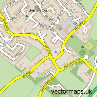
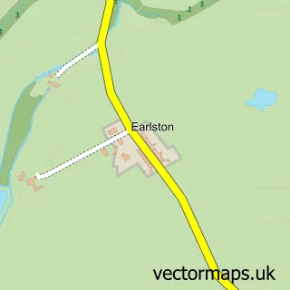
This Bogend street map is a detailed vector street map covering a 750m x 750m area. Select a larger area to create and download your own vector street map of Bogend.
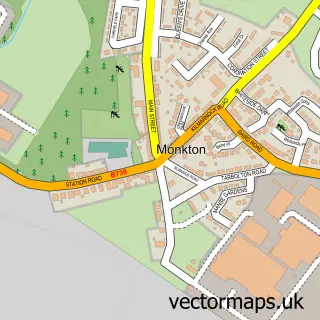
The 750-metre map sample for Bogend covers 50 mapped buildings and approximately 11.3 km of road detail, of which 2 named roads are named. The wider area around Bogend features 1 food and drink venue. To create a larger or custom map of Bogend, the map builder lets you define your own coverage area and download editable SVG, PDF and PNG files.
Create a larger editable map of Bogend
Choose any area you need and generate a high-quality vector map instantly. Perfect for print, planning, design, business and personal use.

This Bogend street map in Ayrshire and Arran is available as downloadable SVG, PDF and PNG map files, or as a printed map for planning, business, display, education, local information and design work. You can also create a larger custom map area using the map selector.
What this Bogend map sample shows
Bogend lies within South Ayrshire parish, part of Kyle ward in the South Ayrshire local authority area. The postcode geography for this area includes the KA postcode area, the KA1 postcode district and the KA1 5 postcode sector. Residents fall under the Ayrshire And Arran for NHS services.
Local features near Bogend
Within 2 milesAmenities and services in and around Bogend.
Administrative and postcode information for Bogend
Bogend lies within South Ayrshire parish, part of Kyle ward in the South Ayrshire local authority area. The postcode geography for this area includes the KA postcode area, the KA1 postcode district and the KA1 5 postcode sector. Residents fall under the Ayrshire And Arran for NHS services.
Nearby street map samples around Bogend
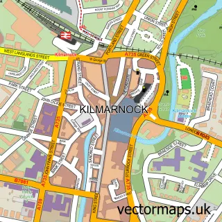

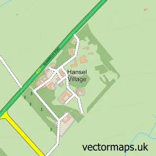
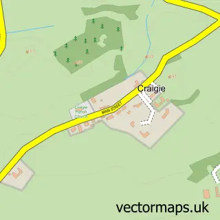
More street maps in Ayrshire and Arran
750 metre map area coverage
Boundary, postcode and point of interest information for the 750m x 750m rectangle centred on this sample map.
Boundaries containing map centre
Constituency: Central Ayrshire Co Const
District: South Ayrshire
Icb: Ayrshire and Arran
Postcode District: KA1
Postcode Sector: KA1 5
Ward: Kyle Ward
Nearby boundaries intersecting sample
No additional intersecting boundaries found.
Postcode coverage
POI category counts
Veterinarian: 2
Cafe: 1
Gift Shop: 1
Nursery And Gardening: 1
Pet Store: 1
Stone And Masonry: 1
Sample points of interest
- Cheesecake Cottage
- Providore Corporate Gifts
- Hayes Garden Land Symington
- Somerville J & M
- McDonald Memorials
- MBM Veterinary Group
- Thistle Equine Referrals
Create a larger editable map of Bogend
This sample shows only a 750 metre area. To create a larger map of Bogend, use our map builder to choose your own coverage area, add titles and download editable SVG, PDF and PNG files.
Create a custom map of Bogend