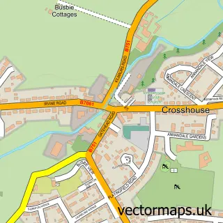
This Kilwinning street map is a detailed vector street map covering a 750m x 750m area. Select a larger area to create and download your own vector street map of Kilwinning.
The 750-metre map sample for Kilwinning covers 388 mapped buildings and approximately 17.1 km of road detail, of which 39 named roads are named. The immediate area includes 2 GP surgeries, with 3 within 2 miles, 6 pubs and 6 MOT stations within 2 miles. The wider area around Kilwinning features 4 tourism points of interest and 14 food and drink venues. To create a larger or custom map of Kilwinning, the map builder lets you define your own coverage area and download editable SVG, PDF and PNG files.
Create a larger editable map of Kilwinning
Choose any area you need and generate a high-quality vector map instantly. Perfect for print, planning, design, business and personal use.

This Kilwinning street map in Ayrshire and Arran is available as downloadable SVG, PDF and PNG map files, or as a printed map for planning, business, display, education, local information and design work. You can also create a larger custom map area using the map selector.
What this Kilwinning map sample shows
Kilwinning lies within North Ayrshire parish, part of Kilwinning ward in the North Ayrshire local authority area. The postcode geography for this area includes the KA postcode area, the KA13 postcode district and the KA13 6 postcode sector. Residents fall under the Ayrshire And Arran for NHS services.
Local features near Kilwinning
Within 2 milesAmenities and services in and around Kilwinning.
Administrative and postcode information for Kilwinning
Kilwinning lies within North Ayrshire parish, part of Kilwinning ward in the North Ayrshire local authority area. The postcode geography for this area includes the KA postcode area, the KA13 postcode district and the KA13 6 postcode sector. Residents fall under the Ayrshire And Arran for NHS services.
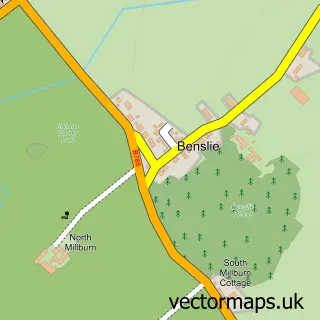
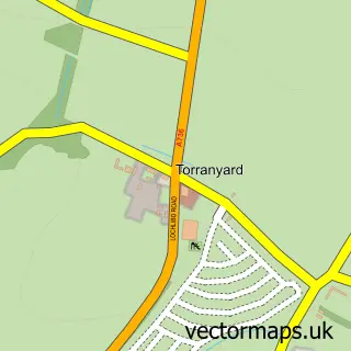
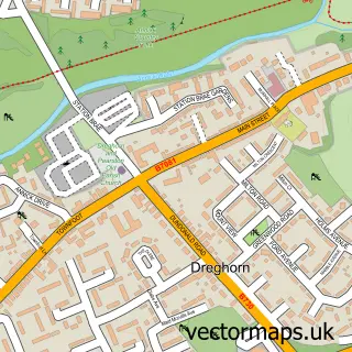
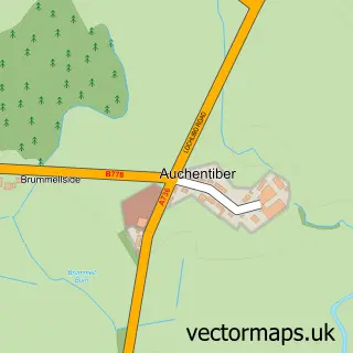
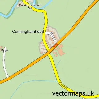
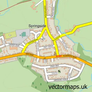
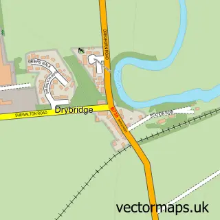
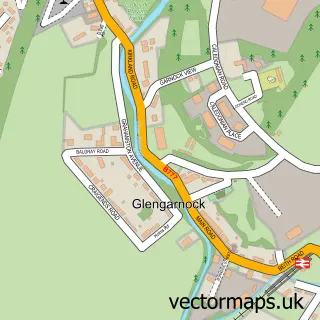
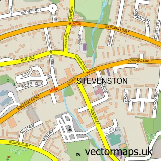
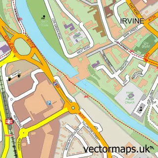
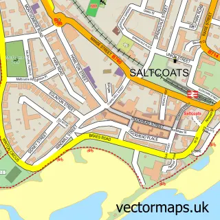
Nearby street map samples around Kilwinning

More street maps in Ayrshire and Arran
750 metre map area coverage
Boundary, postcode and point of interest information for the 750m x 750m rectangle centred on this sample map.
Boundaries containing map centre
Constituency: North Ayrshire and Arran Co Const
District: North Ayrshire
Icb: Ayrshire and Arran
Postcode District: KA13
Postcode Sector: KA13 6
Ward: Kilwinning Ward
Nearby boundaries intersecting sample
Constituency: Central Ayrshire Co Const
Postcode Sector: KA13 7
Postcode coverage
POI category counts
Beauty Salon: 12
Convenience Store: 6
Pub: 6
Cafe: 5
Church Cathedral: 5
Pet Groomer: 5
Professional Services: 5
Banks: 4
Betting Center: 4
Hair Salon: 4
Sample points of interest
- The Empire Grill
- Chalybeate Court
- The Cooperative Food Kilwinning (ERF)
- Representante comercial Antônio Oliveira
- Beth Brownings Bakery
- Greggs
- Barclays
- Clydesdale Bank
- Community Banker Kilwinning Banking Hub
- HSBC - Kilwinning - Banking Hub - HSBC staff not available
- Foundry
- The Kandy Bar
Create a larger editable map of Kilwinning
This sample shows only a 750 metre area. To create a larger map of Kilwinning, use our map builder to choose your own coverage area, add titles and download editable SVG, PDF and PNG files.
Create a custom map of Kilwinning