Vector Maps logo
Home Why it works Popular maps Districts Samples Customizer Create Your Map
VectorMaps.uk
Home Popular maps Districts Samples Customizer Create Your Map Privacy Disclaimer
Home / UK Maps / Ayrshire and Arran / Saltcoats Map

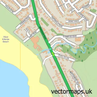
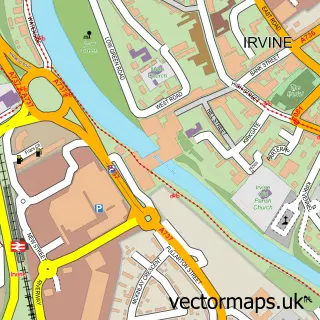
This Saltcoats street map is a detailed vector street map covering a 750m x 750m area. Select a larger area to create and download your own vector street map of Saltcoats.

Saltcoats is a town in Ayrshire And Arran, in the West Scotland of Scotland. Historically, the area formed part of Ayrshire. The settlement falls within the North Ayrshire And Arran parliamentary constituency. It is served by the KA21 postcode district, w

The 750-metre map sample for Saltcoats covers 222 mapped buildings and approximately 18.8 km of road detail, of which 46 named roads are named. The immediate area includes 1 railway station, 1 GP surgery, with 5 within 2 miles, 13 pubs and 1 MOT station, with 11 within 2 miles. The wider area around Saltcoats features 5 tourism points of interest, 31 food and drink venues and 1 campsite within 2 miles. To create a larger or custom map of Saltcoats, the map builder lets you define your own coverage area and download editable SVG, PDF and PNG files.

222Buildings
18.79 kmRoads
46Named roads
0Residents within 2 miles
Create your own

Create a larger editable map of Saltcoats

Choose any area you need and generate a high-quality vector map instantly. Perfect for print, planning, design, business and personal use.

Choose any location
Editable SVG files
Any size up to A0
PDF, PNG & more
Instant download
High quality guaranteed
Create My Custom Map
Secure, private & no credit card required
Saltcoats Vector Street Map
750m Sample
Saltcoats vector street map sample showing roads, buildings and local features in a 750 metre preview area
Buy Saltcoats Map Print from £12.95 Buy Saltcoats Digital Map from £6

This Saltcoats street map in Ayrshire and Arran is available as downloadable SVG, PDF and PNG map files, or as a printed map for planning, business, display, education, local information and design work. You can also create a larger custom map area using the map selector.

What this Saltcoats map sample shows

Saltcoats lies within North Ayrshire parish, part of Saltcoats ward in the North Ayrshire local authority area. The postcode geography for this area includes the KA postcode area, the KA21 postcode district and the KA21 5 postcode sector. Residents fall under the Ayrshire And Arran for NHS services.

Local features near Saltcoats

Within 2 miles

Amenities and services in and around Saltcoats.

1 Railway stations
1 Campsites within 2 miles
1 GP surgeries 5 within 2 miles
1 MOT stations 11 within 2 miles
5 Tourism & leisure
31 Food & drink
13 Pubs
13 Healthcare POIs
3 Vehicle services

Counts are approximate and based on publicly available data.

Administrative and postcode information for Saltcoats

Saltcoats lies within North Ayrshire parish, part of Saltcoats ward in the North Ayrshire local authority area. The postcode geography for this area includes the KA postcode area, the KA21 postcode district and the KA21 5 postcode sector. Residents fall under the Ayrshire And Arran for NHS services.

Parish NORTH AYRSHIRE
Ward Saltcoats
District / local authority North Ayrshire
County Ayrshire and Arran
Historic county Ayrshire
Postcode district KA21
Postcode sector KA21 5
Parliamentary constituency North Ayrshire and Arran
Region West Scotland
Country Scotland

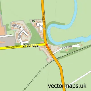
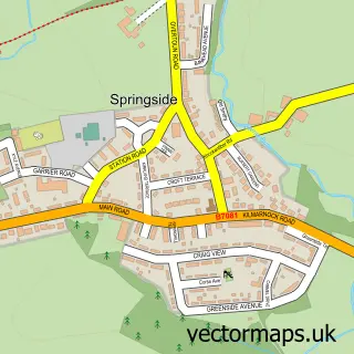
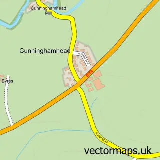
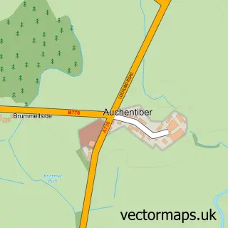
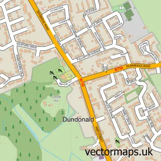
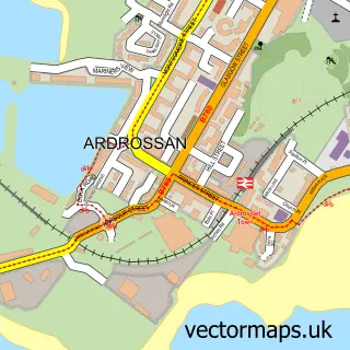
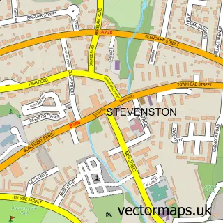
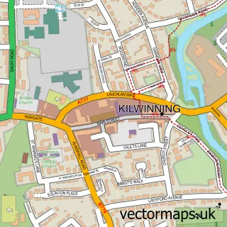
Nearby street map samples around Saltcoats

Street map sample of Glasgow, City of Glasgow Glasgow City - City of Glasgow - 26.2 miles Street map sample of Seamill, Ayrshire and Arran Seamill Village - Ayrshire and Arran - 4.5 miles Street map sample of Benslie, Ayrshire and Arran Benslie Village - Ayrshire and Arran - 5.7 miles Street map sample of Dreghorn, Ayrshire and Arran Dreghorn Village - Ayrshire and Arran - 6.9 miles Street map sample of Torranyard, Ayrshire and Arran Torranyard Village - Ayrshire and Arran - 7.1 miles Street map sample of Drybridge, Ayrshire and Arran Drybridge Village - Ayrshire and Arran - 7.6 miles Street map sample of Springside, Ayrshire and Arran Springside Village - Ayrshire and Arran - 7.9 miles Street map sample of Cunninghamhead, Ayrshire and Arran Cunninghamhead Village - Ayrshire and Arran - 8.2 miles Street map sample of Auchentiber, Ayrshire and Arran Auchentiber Village - Ayrshire and Arran - 8.2 miles Street map sample of Dundonald, Ayrshire and Arran Dundonald Village - Ayrshire and Arran - 8.5 miles

More street maps in Ayrshire and Arran

Street map sample of Ardrossan, Ayrshire and Arran Ardrossan Town - 1.1 miles Street map sample of Stevenston, Ayrshire and Arran Stevenston Town - 1.3 miles Street map sample of Kilwinning, Ayrshire and Arran Kilwinning Town - 3.8 miles Street map sample of Seamill, Ayrshire and Arran Seamill Village - 4.5 miles Street map sample of Irvine, Ayrshire and Arran Irvine Town - 4.9 miles

750 metre map area coverage

Boundary, postcode and point of interest information for the 750m x 750m rectangle centred on this sample map.

Boundaries containing map centre

Constituency: North Ayrshire and Arran Co Const

District: North Ayrshire

Icb: Ayrshire and Arran

Postcode District: KA21

Postcode Sector: KA21 5

Ward: Saltcoats and Stevenston Ward

Nearby boundaries intersecting sample

No additional intersecting boundaries found.

Postcode coverage

KA21 KA21 5

POI category counts

Hair Salon: 17

Pub: 13

Beauty Salon: 12

Tattoo And Piercing: 10

Charity Organization: 9

Barber: 8

Cafe: 8

Real Estate Agent: 8

Bar: 7

Beauty And Spa: 7

Sample points of interest

  • Anderson Macdonald Accountant Accountant
  • John Kerr & Co. CA Accountant
  • Witchspa Therapies Alternative Medicine
  • The Garden Diner American Restaurant
  • Cullis's Amusements Amusement Park
  • Ayrshire Cancer Support Antique Store
  • British Red Cross Antique Store
  • Stevens Domestic Repair Services Appliance Repair Service
  • BrightHouse Appliance Store
  • Countess Amusements Arcade
  • Nonsuch Amusements Arcade
  • Windmill Leisure Centre Arcade

Create a larger editable map of Saltcoats

This sample shows only a 750 metre area. To create a larger map of Saltcoats, use our map builder to choose your own coverage area, add titles and download editable SVG, PDF and PNG files.

Create a custom map of Saltcoats

Phone 01751 473136 | Copyright Vectormaps.uk 2026

Samples Customizer Privacy Disclaimer
Saltcoats Vector Street Map
Saltcoats enlarged street map sample showing a 750 metre preview area