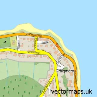
This Fairlie street map is a detailed vector street map covering a 750m x 750m area. Select a larger area to create and download your own vector street map of Fairlie.
The 750-metre map sample for Fairlie covers 198 mapped buildings and approximately 7.4 km of road detail, of which 14 named roads are named. The immediate area includes 1 railway station. The wider area around Fairlie features 2 tourism points of interest and 1 hotel. To create a larger or custom map of Fairlie, the map builder lets you define your own coverage area and download editable SVG, PDF and PNG files.
Create a larger editable map of Fairlie
Choose any area you need and generate a high-quality vector map instantly. Perfect for print, planning, design, business and personal use.

This Fairlie street map in Ayrshire and Arran is available as downloadable SVG, PDF and PNG map files, or as a printed map for planning, business, display, education, local information and design work. You can also create a larger custom map area using the map selector.
What this Fairlie map sample shows
Fairlie lies within North Ayrshire parish, part of North Coast And Cumbraes ward in the North Ayrshire local authority area. The postcode geography for this area includes the KA postcode area, the KA29 postcode district and the KA29 0 postcode sector. Residents fall under the Ayrshire And Arran for NHS services.
Local features near Fairlie
Within 2 milesAmenities and services in and around Fairlie.
Administrative and postcode information for Fairlie
The local authority covering Fairlie is North Ayrshire, within the county of Ayrshire And Arran. The settlement lies within North Coast And Cumbraes ward and North Ayrshire civil parish. The KA29 postcode district and KA29 0 postcode sector serve the immediate area. NHS provision in the area is delivered through Ayrshire And Arran.
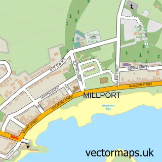
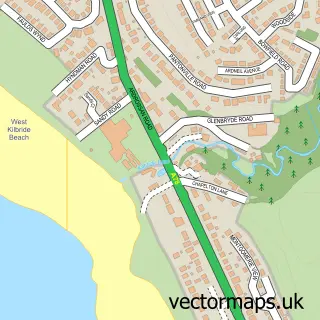
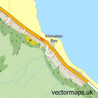
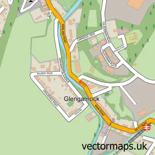
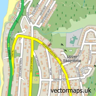
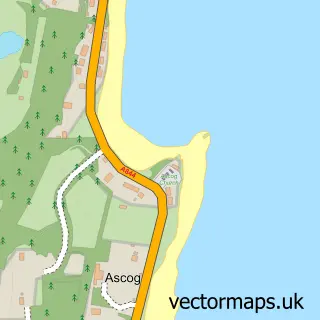
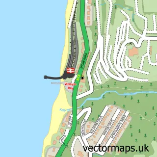
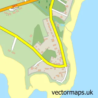
Nearby street map samples around Fairlie

More street maps in Ayrshire and Arran
750 metre map area coverage
Boundary, postcode and point of interest information for the 750m x 750m rectangle centred on this sample map.
Boundaries containing map centre
Constituency: North Ayrshire and Arran Co Const
District: North Ayrshire
Icb: Ayrshire and Arran
Postcode District: KA29
Postcode Sector: KA29 0
Ward: North Coast Ward
Nearby boundaries intersecting sample
No additional intersecting boundaries found.
Postcode coverage
POI category counts
Train Station: 2
Auto Detailing: 1
Boat Service And Repair: 1
Building Supply Store: 1
Carpenter: 1
Castle: 1
Community Center: 1
Cooking School: 1
Electrician: 1
Environmental And Ecological Services For Businesses: 1
Sample points of interest
- Largs and Fairlie Valeting Centre
- CC & B
- AIM Europe
- Parks of Fairlie
- Fairlie Castle
- Thé Semple Centre, Fairlie
- Cooking Capers
- A I M Technologies Europe Ltd.
- Icerms Ltd
- Ferry Row
- Laddergrips
- Fairlie Viewpoint
Create a larger editable map of Fairlie
This sample shows only a 750 metre area. To create a larger map of Fairlie, use our map builder to choose your own coverage area, add titles and download editable SVG, PDF and PNG files.
Create a custom map of Fairlie