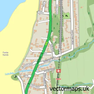
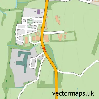
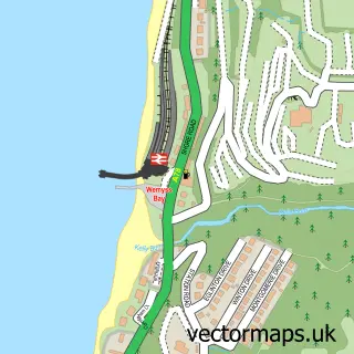
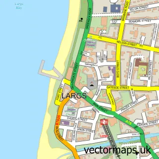
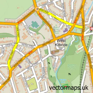
This Millport street map is a detailed vector street map covering a 750m x 750m area. Select a larger area to create and download your own vector street map of Millport.
The 750-metre map sample for Millport covers 136 mapped buildings and approximately 8.4 km of road detail, of which 16 named roads are named. The immediate area includes 1 GP surgery, 4 pubs and 1 MOT station, with 2 within 2 miles. The wider area around Millport features 5 tourism points of interest, 12 food and drink venues and 6 hotels. To create a larger or custom map of Millport, the map builder lets you define your own coverage area and download editable SVG, PDF and PNG files.
Create a larger editable map of Millport
Choose any area you need and generate a high-quality vector map instantly. Perfect for print, planning, design, business and personal use.

This Millport street map in Ayrshire and Arran is available as downloadable SVG, PDF and PNG map files, or as a printed map for planning, business, display, education, local information and design work. You can also create a larger custom map area using the map selector.
What this Millport map sample shows
Millport lies within North Ayrshire parish, part of North Coast And Cumbraes ward in the North Ayrshire local authority area. The postcode geography for this area includes the KA postcode area, the KA28 postcode district and the KA28 0 postcode sector. Local NHS services are provided through Ayrshire And Arran.
Local features near Millport
Within 2 milesAmenities and services in and around Millport.
Administrative and postcode information for Millport
The local authority covering Millport is North Ayrshire, within the county of Ayrshire And Arran. The settlement lies within North Coast And Cumbraes ward and North Ayrshire civil parish. The KA28 postcode district and KA28 0 postcode sector serve the immediate area. NHS provision in the area is delivered through Ayrshire And Arran.
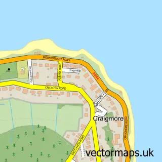
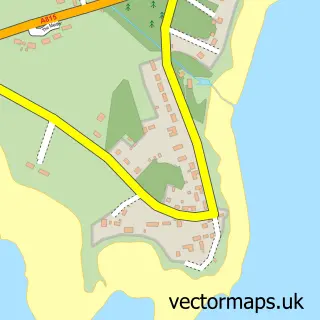
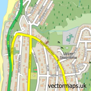
Nearby street map samples around Millport

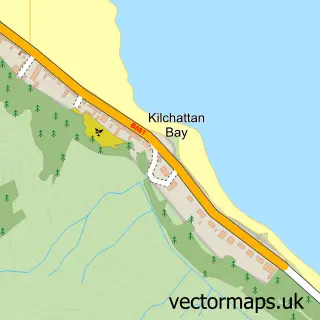
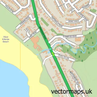
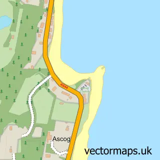
More street maps in Ayrshire and Arran
750 metre map area coverage
Boundary, postcode and point of interest information for the 750m x 750m rectangle centred on this sample map.
Boundaries containing map centre
Constituency: North Ayrshire and Arran Co Const
District: North Ayrshire
Icb: Ayrshire and Arran
Postcode District: KA28
Postcode Sector: KA28 0
Ward: North Coast Ward
Nearby boundaries intersecting sample
No additional intersecting boundaries found.
Postcode coverage
POI category counts
Hotel: 6
Church Cathedral: 5
Beach: 4
Cafe: 4
Landmark And Historical Building: 4
Pub: 4
Convenience Store: 3
Flowers And Gifts Shop: 3
Restaurant: 3
Shopping: 3
Sample points of interest
- Fishermans Nook
- Garrison Funfair Millport
- The Millport Gallery
- British Legion Social Club
- Beach House Holiday Apartment
- Clyde Riviera
- Millport Beach
- Newton Bay
- Mapes of Millport
- On Your Bike Millport
- Millport Post Office
- Post Office-Millport
Create a larger editable map of Millport
This sample shows only a 750 metre area. To create a larger map of Millport, use our map builder to choose your own coverage area, add titles and download editable SVG, PDF and PNG files.
Create a custom map of Millport