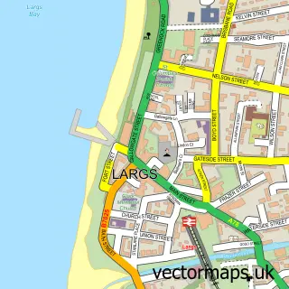
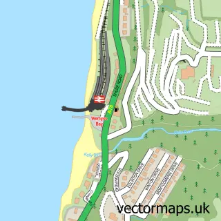
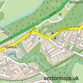
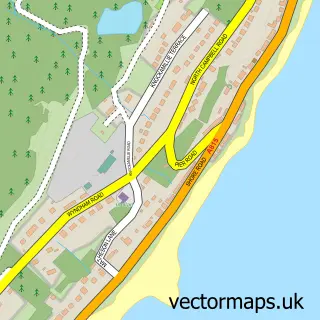
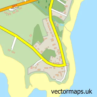
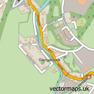
This Skelmorlie street map is a detailed vector street map covering a 750m x 750m area. Select a larger area to create and download your own vector street map of Skelmorlie.
The 750-metre map sample for Skelmorlie covers 324 mapped buildings and approximately 16.7 km of road detail, of which 21 named roads are named. The immediate area includes 1 GP surgery within 2 miles, 1 pub and 1 MOT station within 2 miles. The wider area around Skelmorlie features 1 tourism point of interest, 1 food and drink venue and 1 campsite within 2 miles. To create a larger or custom map of Skelmorlie, the map builder lets you define your own coverage area and download editable SVG, PDF and PNG files.
Create a larger editable map of Skelmorlie
Choose any area you need and generate a high-quality vector map instantly. Perfect for print, planning, design, business and personal use.

This Skelmorlie street map in Ayrshire and Arran is available as downloadable SVG, PDF and PNG map files, or as a printed map for planning, business, display, education, local information and design work. You can also create a larger custom map area using the map selector.
What this Skelmorlie map sample shows
Skelmorlie lies within North Ayrshire parish, part of North Coast And Cumbraes ward in the North Ayrshire local authority area. The postcode geography for this area includes the PA postcode area, the PA17 postcode district and the PA17 5 postcode sector. Residents fall under the Ayrshire And Arran for NHS services.
Local features near Skelmorlie
Within 2 milesAmenities and services in and around Skelmorlie.
Administrative and postcode information for Skelmorlie
Skelmorlie lies within North Ayrshire parish, part of North Coast And Cumbraes ward in the North Ayrshire local authority area. The postcode geography for this area includes the PA postcode area, the PA17 postcode district and the PA17 5 postcode sector. Residents fall under the Ayrshire And Arran for NHS services.
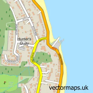
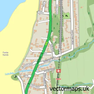
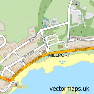
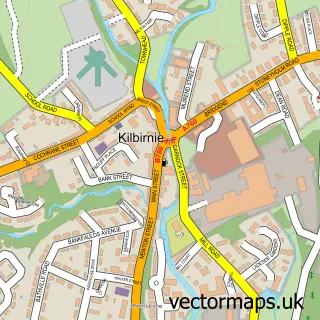
Nearby street map samples around Skelmorlie

More street maps in Ayrshire and Arran
750 metre map area coverage
Boundary, postcode and point of interest information for the 750m x 750m rectangle centred on this sample map.
Boundaries containing map centre
Constituency: North Ayrshire and Arran Co Const
District: North Ayrshire
Icb: Ayrshire and Arran
Postcode District: PA17
Postcode Sector: PA17 5
Ward: North Coast Ward
Nearby boundaries intersecting sample
No additional intersecting boundaries found.
Postcode coverage
POI category counts
Church Cathedral: 2
Pet Groomer: 2
Post Office: 2
Shipping Center: 2
Active Life: 1
Beauty Salon: 1
Catholic Church: 1
Community Center: 1
Convenience Store: 1
Dog Walkers: 1
Sample points of interest
- Skelmorlie Fishery
- Diamond Beauty
- Skelmorlie and Wemyss Bay
- Skelmorlie & Wemyss Bay Parish Church
- Skelmorlie and Wemyss Bay Church
- Skelmorlie Community Centre
- Spar
- Wawkies
- Skelmorlie Primary School
- Skelmorlie Camera Club
- Skelmorlie Community Fire Station
- Bootlace Creative
Create a larger editable map of Skelmorlie
This sample shows only a 750 metre area. To create a larger map of Skelmorlie, use our map builder to choose your own coverage area, add titles and download editable SVG, PDF and PNG files.
Create a custom map of Skelmorlie