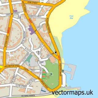
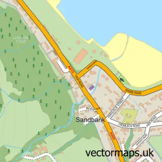
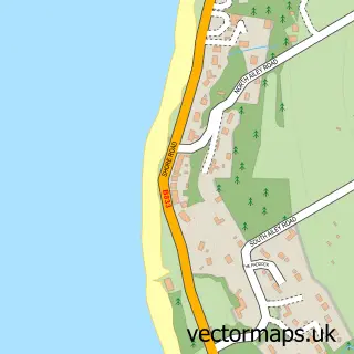
This Kirn street map is a detailed vector street map covering a 750m x 750m area. Select a larger area to create and download your own vector street map of Kirn.
The 750-metre map sample for Kirn covers 285 mapped buildings and approximately 11.2 km of road detail, of which 23 named roads are named. The immediate area includes 3 GP surgeries within 2 miles and 4 MOT stations within 2 miles. The wider area around Kirn features 1 tourism point of interest, 1 food and drink venue and 2 hotels. To create a larger or custom map of Kirn, the map builder lets you define your own coverage area and download editable SVG, PDF and PNG files.
Create a larger editable map of Kirn
Choose any area you need and generate a high-quality vector map instantly. Perfect for print, planning, design, business and personal use.

This Kirn street map in Argyll and Bute is available as downloadable SVG, PDF and PNG map files, or as a printed map for planning, business, display, education, local information and design work. You can also create a larger custom map area using the map selector.
What this Kirn map sample shows
Kirn lies within Argyll And Bute parish, part of Cowal ward in the Argyll And Bute local authority area. The postcode geography for this area includes the PA postcode area, the PA23 postcode district and the PA23 8 postcode sector. Local NHS services are provided through Highland.
Local features near Kirn
Within 2 milesAmenities and services in and around Kirn.
Administrative and postcode information for Kirn
Kirn lies within Argyll And Bute parish, part of Cowal ward in the Argyll And Bute local authority area. The postcode geography for this area includes the PA postcode area, the PA23 postcode district and the PA23 8 postcode sector. Local NHS services are provided through Highland.
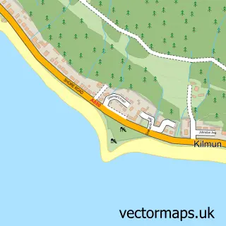
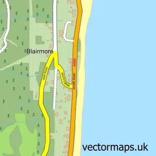
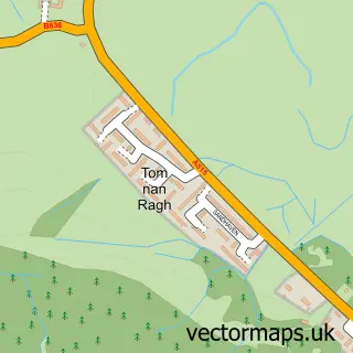
Nearby street map samples around Kirn

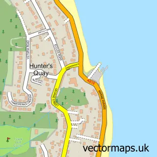
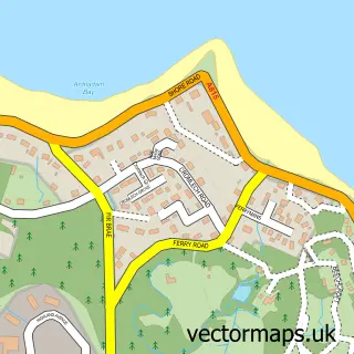
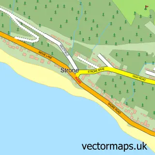
More street maps in Argyll and Bute
750 metre map area coverage
Boundary, postcode and point of interest information for the 750m x 750m rectangle centred on this sample map.
Boundaries containing map centre
Constituency: Argyll, Bute and South Lochaber Co Const
District: Argyll and Bute
Icb: Highland
Postcode District: PA23
Postcode Sector: PA23 8
Ward: Cowal Ward
Nearby boundaries intersecting sample
Ward: Dunoon Ward
Postcode coverage
POI category counts
Bakery: 2
Beach: 2
Catholic Church: 2
Hotel: 2
Post Office: 2
Professional Services: 2
Sports Club And League: 2
Art Gallery: 1
Arts And Crafts: 1
Beauty And Spa: 1
Sample points of interest
- Casablanca Studios, Kirn
- Jinty and Baa Needlecrafts
- Black of Dunoon - Kirn
- Black the Bakers
- Dunoon Sea Front
- Kirn Shore
- Allure Nails By Natalie
- Lush Hair And Beauty Salon
- Douglas Park Guest House. Kirn, Dunoon, Argyll, Scotland
- Cowal Kirk
- Our Lady and St Mun's Parish
- Kirn & Sandbank Parish Church
Create a larger editable map of Kirn
This sample shows only a 750 metre area. To create a larger map of Kirn, use our map builder to choose your own coverage area, add titles and download editable SVG, PDF and PNG files.
Create a custom map of Kirn