Vector Maps logo
Home Why it works Popular maps Districts Samples Customizer Create Your Map
VectorMaps.uk
Home Popular maps Districts Samples Customizer Create Your Map Privacy Disclaimer
Home / UK Maps / Argyll and Bute / Sandbank Map

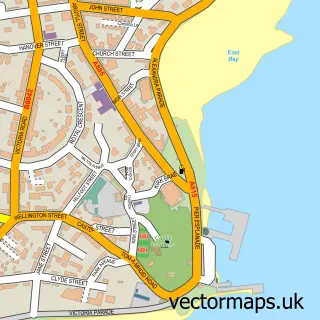
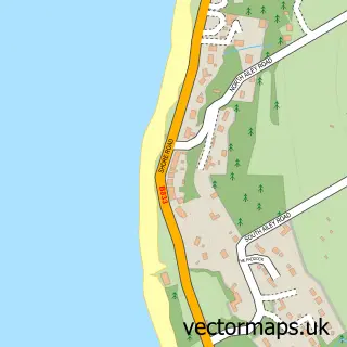
This Sandbank street map is a detailed vector street map covering a 750m x 750m area. Select a larger area to create and download your own vector street map of Sandbank.

Sandbank is a village in Argyll And Bute, in the Highlands And Islands of Scotland. Historically, the area formed part of Argyllshire. The settlement falls within the Argyll And Bute parliamentary constituency. It is served by the PA23 postcode district,

The 750-metre map sample for Sandbank covers 155 mapped buildings and approximately 6.3 km of road detail, of which 10 named roads are named. The immediate area includes 1 GP surgery within 2 miles, 2 pubs and 1 MOT station within 2 miles. The wider area around Sandbank features 1 tourism point of interest, 4 food and drink venues and 1 hotel. To create a larger or custom map of Sandbank, the map builder lets you define your own coverage area and download editable SVG, PDF and PNG files.

155Buildings
6.26 kmRoads
10Named roads
0Residents within 2 miles
Create your own

Create a larger editable map of Sandbank

Choose any area you need and generate a high-quality vector map instantly. Perfect for print, planning, design, business and personal use.

Choose any location
Editable SVG files
Any size up to A0
PDF, PNG & more
Instant download
High quality guaranteed
Create My Custom Map
Secure, private & no credit card required
Sandbank Vector Street Map
750m Sample
Sandbank vector street map sample showing roads, buildings and local features in a 750 metre preview area
Buy Sandbank Map Print from £12.95 Buy Sandbank Digital Map from £6

This Sandbank street map in Argyll and Bute is available as downloadable SVG, PDF and PNG map files, or as a printed map for planning, business, display, education, local information and design work. You can also create a larger custom map area using the map selector.

What this Sandbank map sample shows

Sandbank lies within Argyll And Bute parish, part of Cowal ward in the Argyll And Bute local authority area. The postcode geography for this area includes the PA postcode area, the PA23 postcode district and the PA23 8 postcode sector. Residents fall under the Highland for NHS services.

Local features near Sandbank

Within 2 miles

Amenities and services in and around Sandbank.

1 GP surgeries within 2 miles
1 MOT stations within 2 miles
1 Tourism & leisure
4 Food & drink
2 Pubs
1 Hotels
1 Vehicle services

Counts are approximate and based on publicly available data.

Administrative and postcode information for Sandbank

The local authority covering Sandbank is Argyll And Bute, within the county of Argyll And Bute. The settlement lies within Cowal ward and Argyll And Bute civil parish. The PA23 postcode district and PA23 8 postcode sector serve the immediate area. NHS provision in the area is delivered through Highland.

Parish ARGYLL AND BUTE
Ward Cowal
District / local authority Argyll and Bute
County Argyll and Bute
Historic county Argyllshire
Postcode district PA23
Postcode sector PA23 8
Parliamentary constituency Argyll and Bute
Region Highlands and Islands
Country Scotland

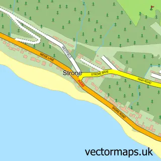
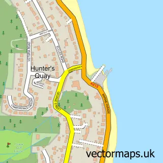
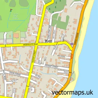
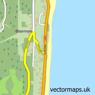
Nearby street map samples around Sandbank

Street map sample of Dunoon, Argyll and Bute Dunoon Town - Argyll and Bute - 2.4 miles Street map sample of Glasgow, City of Glasgow Glasgow City - City of Glasgow - 28.3 miles Street map sample of Ardnadam, Argyll and Bute Ardnadam Village - Argyll and Bute - 0.6 miles Street map sample of Kilmun, Argyll and Bute Kilmun Village - Argyll and Bute - 1.0 miles Street map sample of Sandhaven, Argyll and Bute Sandhaven Village - Argyll and Bute - 1.2 miles Street map sample of Strone, Argyll and Bute Strone Village - Argyll and Bute - 1.6 miles Street map sample of Hunters Quay, Argyll and Bute Hunters Quay Village - Argyll and Bute - 1.6 miles Street map sample of Kirn, Argyll and Bute Kirn Village - Argyll and Bute - 1.9 miles Street map sample of Blairmore, Argyll and Bute Blairmore Village - Argyll and Bute - 2.2 miles Street map sample of Cove, Dunbartonshire Cove Village - Dunbartonshire - 3.7 miles

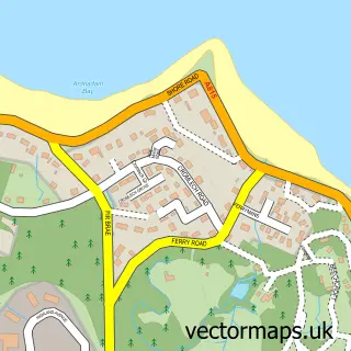
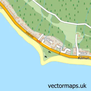
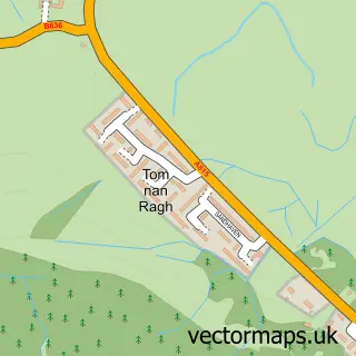
More street maps in Argyll and Bute

Street map sample of Ardnadam, Argyll and Bute Ardnadam Village - 0.6 miles Street map sample of Kilmun, Argyll and Bute Kilmun Village - 1.0 miles Street map sample of Sandhaven, Argyll and Bute Sandhaven Village - 1.2 miles Street map sample of Strone, Argyll and Bute Strone Village - 1.6 miles Street map sample of Hunters Quay, Argyll and Bute Hunters Quay Village - 1.6 miles

750 metre map area coverage

Boundary, postcode and point of interest information for the 750m x 750m rectangle centred on this sample map.

Boundaries containing map centre

Constituency: Argyll, Bute and South Lochaber Co Const

District: Argyll and Bute

Icb: Highland

Postcode District: PA23

Postcode Sector: PA23 8

Ward: Cowal Ward

Nearby boundaries intersecting sample

No additional intersecting boundaries found.

Postcode coverage

PA23 PA23 8

POI category counts

Korean Grocery Store: 2

Marina: 2

Pub: 2

Automotive Repair: 1

Bar: 1

Bed And Breakfast: 1

Boat Service And Repair: 1

Boat Tours: 1

Builders: 1

Cafe: 1

Sample points of interest

  • Ferguslie Garage Automotive Repair
  • Holy Loch Inn Bar
  • Montague Villa Bed And Breakfast
  • Swordfish Marine Boat Service And Repair
  • Wreckspeditions Boat Tours
  • Cowal & Bute Construction Builders
  • Holy Loch Coffee Shop Cafe
  • Holy Loch Coffee Shop Coffee Shop
  • Sandbank Village Hall Community Center
  • Samteq Ltd. Corporate Office
  • Oakfield Kebab & Fast Food Fast Food Restaurant
  • Croot's Country Store Gun And Ammo

Create a larger editable map of Sandbank

This sample shows only a 750 metre area. To create a larger map of Sandbank, use our map builder to choose your own coverage area, add titles and download editable SVG, PDF and PNG files.

Create a custom map of Sandbank

Phone 01751 473136 | Copyright Vectormaps.uk 2026

Samples Customizer Privacy Disclaimer
Sandbank Vector Street Map
Sandbank enlarged street map sample showing a 750 metre preview area