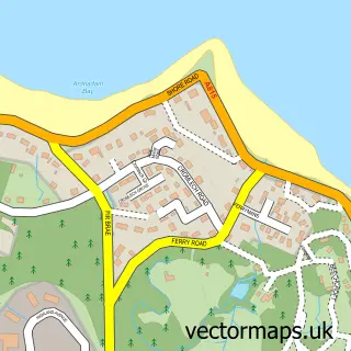
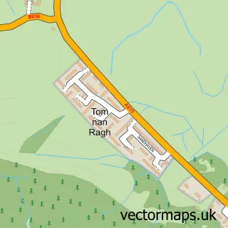
This Hunters Quay street map is a detailed vector street map covering a 750m x 750m area. Select a larger area to create and download your own vector street map of Hunters Quay.
The 750-metre map sample for Hunters Quay covers 210 mapped buildings and approximately 7.3 km of road detail, of which 10 named roads are named. The immediate area includes 3 GP surgeries within 2 miles and 4 MOT stations within 2 miles. The wider area around Hunters Quay features 1 tourism point of interest, 1 food and drink venue and 6 hotels. To create a larger or custom map of Hunters Quay, the map builder lets you define your own coverage area and download editable SVG, PDF and PNG files.
Create a larger editable map of Hunters Quay
Choose any area you need and generate a high-quality vector map instantly. Perfect for print, planning, design, business and personal use.

This Hunters Quay street map in Argyll and Bute is available as downloadable SVG, PDF and PNG map files, or as a printed map for planning, business, display, education, local information and design work. You can also create a larger custom map area using the map selector.
What this Hunters Quay map sample shows
Hunters Quay lies within Argyll And Bute parish, part of Cowal ward in the Argyll And Bute local authority area. The postcode geography for this area includes the PA postcode area, the PA23 postcode district and the PA23 8 postcode sector. Residents fall under the Highland for NHS services.
Local features near Hunters Quay
Within 2 milesAmenities and services in and around Hunters Quay.
Administrative and postcode information for Hunters Quay
Hunters Quay lies within Argyll And Bute parish, part of Cowal ward in the Argyll And Bute local authority area. The postcode geography for this area includes the PA postcode area, the PA23 postcode district and the PA23 8 postcode sector. Residents fall under the Highland for NHS services.
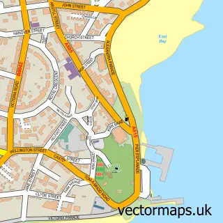
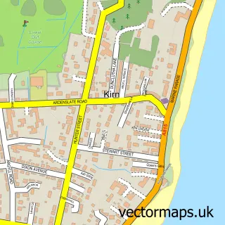
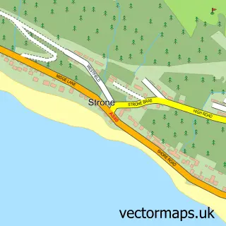
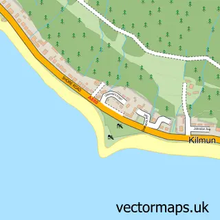
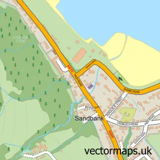
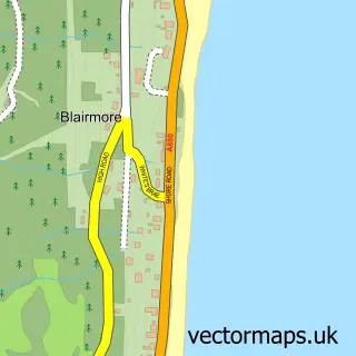
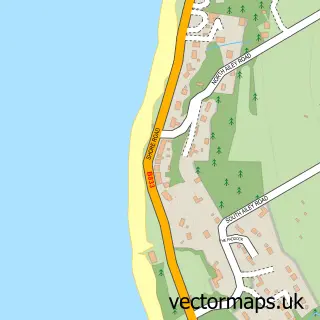
Nearby street map samples around Hunters Quay

More street maps in Argyll and Bute
750 metre map area coverage
Boundary, postcode and point of interest information for the 750m x 750m rectangle centred on this sample map.
Boundaries containing map centre
Constituency: Argyll, Bute and South Lochaber Co Const
District: Argyll and Bute
Icb: Highland
Postcode District: PA23
Postcode Sector: PA23 8
Ward: Cowal Ward
Nearby boundaries intersecting sample
No additional intersecting boundaries found.
Postcode coverage
POI category counts
Hotel: 6
Bed And Breakfast: 1
Beer Garden: 1
Building Supply Store: 1
Cafe: 1
Carpenter: 1
Child Care And Day Care: 1
Day Care Preschool: 1
Ferry Boat Company: 1
Landmark And Historical Building: 1
Sample points of interest
- Undercliff B&B
- Ghillies Cafe Bar
- Graham's Gardens
- The Salty Bean
- K M B Joinery
- Childminding Services
- Silver Birch Outdoor Nursery
- Western Ferries
- Ardtully Hotel
- Cowdens Den
- Hunter's Quay, Cammesreinach Brae
- Hunters Quay Hotel
Create a larger editable map of Hunters Quay
This sample shows only a 750 metre area. To create a larger map of Hunters Quay, use our map builder to choose your own coverage area, add titles and download editable SVG, PDF and PNG files.
Create a custom map of Hunters Quay