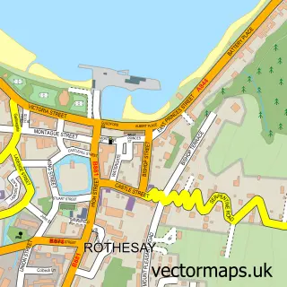
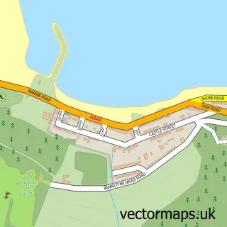
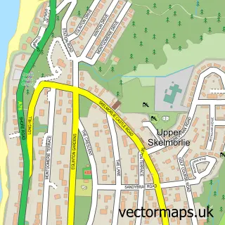
This Townhead street map is a detailed vector street map covering a 750m x 750m area. Select a larger area to create and download your own vector street map of Townhead.
The 750-metre map sample for Townhead covers 41 mapped buildings and approximately 6.5 km of road detail, of which 2 named roads are named. The immediate area includes 1 GP surgery within 2 miles and 3 MOT stations within 2 miles. The wider area around Townhead features 1 tourism point of interest. To create a larger or custom map of Townhead, the map builder lets you define your own coverage area and download editable SVG, PDF and PNG files.
Create a larger editable map of Townhead
Choose any area you need and generate a high-quality vector map instantly. Perfect for print, planning, design, business and personal use.

This Townhead street map in Argyll and Bute is available as downloadable SVG, PDF and PNG map files, or as a printed map for planning, business, display, education, local information and design work. You can also create a larger custom map area using the map selector.
What this Townhead map sample shows
Townhead lies within Argyll And Bute parish, part of Isle Of Bute ward in the Argyll And Bute local authority area. The postcode geography for this area includes the PA postcode area, the PA20 postcode district and the PA20 9 postcode sector. Residents fall under the Highland for NHS services.
Local features near Townhead
Within 2 milesAmenities and services in and around Townhead.
Administrative and postcode information for Townhead
Townhead lies within Argyll And Bute parish, part of Isle Of Bute ward in the Argyll And Bute local authority area. The postcode geography for this area includes the PA postcode area, the PA20 postcode district and the PA20 9 postcode sector. Residents fall under the Highland for NHS services.
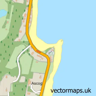
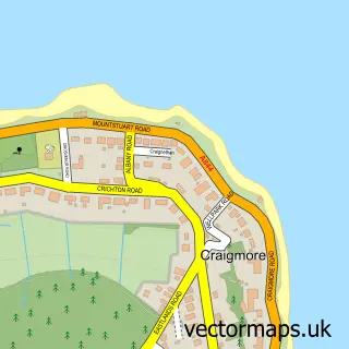
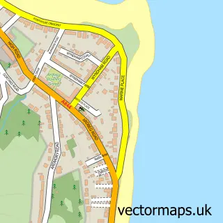
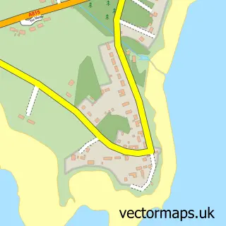
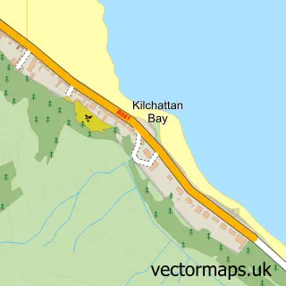
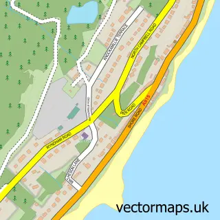
Nearby street map samples around Townhead

More street maps in Argyll and Bute
750 metre map area coverage
Boundary, postcode and point of interest information for the 750m x 750m rectangle centred on this sample map.
Boundaries containing map centre
Constituency: Argyll, Bute and South Lochaber Co Const
District: Argyll and Bute
Icb: Highland
Postcode District: PA20
Postcode Sector: PA20 9
Ward: Isle of Bute Ward
Nearby boundaries intersecting sample
Postcode Sector: PA20 0
Postcode coverage
POI category counts
Church Cathedral: 2
Beauty Salon: 1
Catholic Church: 1
Elementary School: 1
Food Safety Training: 1
Park: 1
Public Service And Government: 1
Sample points of interest
- Isabel's Beauty and Make Up Artistry
- The United Church of Bute
- Isle of Bute Parish Church
- United Church of Bute
- Rothesay Academy
- Bute Island Foods Ltd.
- The Meadows
- High Kirk Mausoleum
Create a larger editable map of Townhead
This sample shows only a 750 metre area. To create a larger map of Townhead, use our map builder to choose your own coverage area, add titles and download editable SVG, PDF and PNG files.
Create a custom map of Townhead