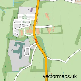
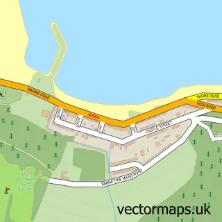
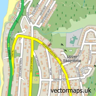
This Rothesay street map is a detailed vector street map covering a 750m x 750m area. Select a larger area to create and download your own vector street map of Rothesay.
The 750-metre map sample for Rothesay covers 178 mapped buildings and approximately 13.1 km of road detail, of which 38 named roads are named. The immediate area includes 1 GP surgery within 2 miles, 7 pubs and 3 MOT stations. The wider area around Rothesay features 5 tourism points of interest, 18 food and drink venues and 8 hotels. To create a larger or custom map of Rothesay, the map builder lets you define your own coverage area and download editable SVG, PDF and PNG files.
Create a larger editable map of Rothesay
Choose any area you need and generate a high-quality vector map instantly. Perfect for print, planning, design, business and personal use.

This Rothesay street map in Argyll and Bute is available as downloadable SVG, PDF and PNG map files, or as a printed map for planning, business, display, education, local information and design work. You can also create a larger custom map area using the map selector.
What this Rothesay map sample shows
Rothesay lies within Argyll And Bute parish, part of Isle Of Bute ward in the Argyll And Bute local authority area. The postcode geography for this area includes the PA postcode area, the PA20 postcode district and the PA20 9 postcode sector. Residents fall under the Highland for NHS services.
Local features near Rothesay
Within 2 milesAmenities and services in and around Rothesay.
Administrative and postcode information for Rothesay
Rothesay lies within Argyll And Bute parish, part of Isle Of Bute ward in the Argyll And Bute local authority area. The postcode geography for this area includes the PA postcode area, the PA20 postcode district and the PA20 9 postcode sector. Residents fall under the Highland for NHS services.
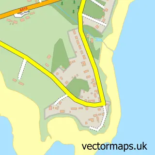
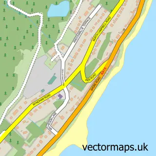
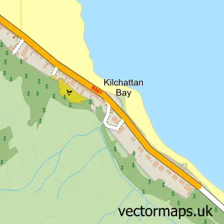
Nearby street map samples around Rothesay

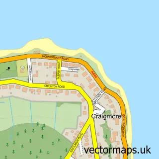
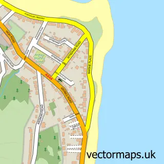
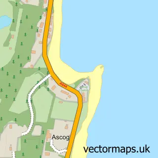
More street maps in Argyll and Bute
750 metre map area coverage
Boundary, postcode and point of interest information for the 750m x 750m rectangle centred on this sample map.
Boundaries containing map centre
Constituency: Argyll, Bute and South Lochaber Co Const
District: Argyll and Bute
Icb: Highland
Postcode District: PA20
Postcode Sector: PA20 9
Ward: Isle of Bute Ward
Nearby boundaries intersecting sample
Postcode Sector: PA20 0
Postcode coverage
POI category counts
Flowers And Gifts Shop: 8
Hotel: 8
Cafe: 7
Pub: 7
Bar: 6
Holiday Rental Home: 6
Charity Organization: 5
Banks: 4
Bed And Breakfast: 4
Pharmacy: 4
Sample points of interest
- Howard s Way
- One 2 One
- Gaidheal Design Studio and Gallery at Mill Street
- The Castle Gallery
- PayPoint
- Motability Scheme at W & J Duncan Ford Rothesay
- Terrys Auto Repairs
- Bute Fabrics
- Electric Bakery
- Helmi's
- Bank of Scotland
- RBS
Create a larger editable map of Rothesay
This sample shows only a 750 metre area. To create a larger map of Rothesay, use our map builder to choose your own coverage area, add titles and download editable SVG, PDF and PNG files.
Create a custom map of Rothesay