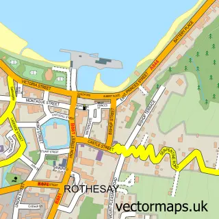
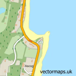
This Ardbeg street map is a detailed vector street map covering a 750m x 750m area. Select a larger area to create and download your own vector street map of Ardbeg.
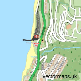
The 750-metre map sample for Ardbeg covers 200 mapped buildings and approximately 10.1 km of road detail, of which 17 named roads are named. The immediate area includes 1 GP surgery within 2 miles, 1 pub and 3 MOT stations within 2 miles. The wider area around Ardbeg features 1 food and drink venue and 2 hotels. To create a larger or custom map of Ardbeg, the map builder lets you define your own coverage area and download editable SVG, PDF and PNG files.
Create a larger editable map of Ardbeg
Choose any area you need and generate a high-quality vector map instantly. Perfect for print, planning, design, business and personal use.

This Ardbeg street map in Argyll and Bute is available as downloadable SVG, PDF and PNG map files, or as a printed map for planning, business, display, education, local information and design work. You can also create a larger custom map area using the map selector.
What this Ardbeg map sample shows
Ardbeg lies within Argyll And Bute parish, part of Isle Of Bute ward in the Argyll And Bute local authority area. The postcode geography for this area includes the PA postcode area, the PA20 postcode district and the PA20 0 postcode sector. Local NHS services are provided through Highland.
Local features near Ardbeg
Within 2 milesAmenities and services in and around Ardbeg.
Administrative and postcode information for Ardbeg
Ardbeg lies within Argyll And Bute parish, part of Isle Of Bute ward in the Argyll And Bute local authority area. The postcode geography for this area includes the PA postcode area, the PA20 postcode district and the PA20 0 postcode sector. Local NHS services are provided through Highland.
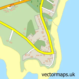
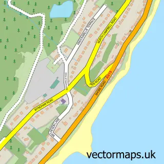
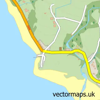
Nearby street map samples around Ardbeg

More street maps in Argyll and Bute
750 metre map area coverage
Boundary, postcode and point of interest information for the 750m x 750m rectangle centred on this sample map.
Boundaries containing map centre
Constituency: Argyll, Bute and South Lochaber Co Const
District: Argyll and Bute
Icb: Highland
Postcode District: PA20
Postcode Sector: PA20 0
Ward: Isle of Bute Ward
Nearby boundaries intersecting sample
No additional intersecting boundaries found.
Postcode coverage
POI category counts
Hotel: 2
Beauty And Spa: 1
Bed And Breakfast: 1
Contractor: 1
Convenience Store: 1
Farm: 1
Flowers And Gifts Shop: 1
Professional Services: 1
Pub: 1
School: 1
Sample points of interest
- Yvonnes mobile hair buteique
- Munro's
- Bute Access Services
- Ardbeg Mini Market
- Burnside Dexter Cattle
- Cadillac Kustomz Kulture
- Cadillac Kustomz Hotel
- One marine place
- Andy Walters Studio
- The Cadillac Bar & Grill
- North Bute Primary School
- Ardbeg Bowling Club
Create a larger editable map of Ardbeg
This sample shows only a 750 metre area. To create a larger map of Ardbeg, use our map builder to choose your own coverage area, add titles and download editable SVG, PDF and PNG files.
Create a custom map of Ardbeg