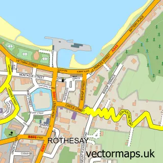
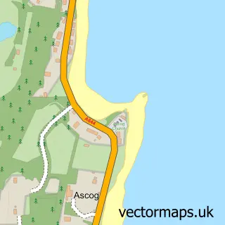
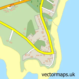
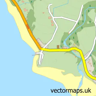
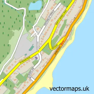
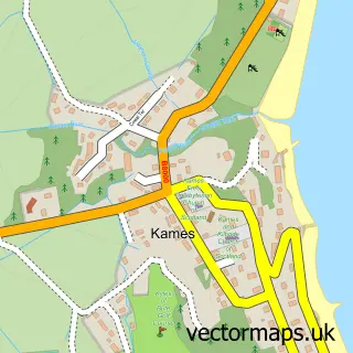
This Port Bannatyne street map is a detailed vector street map covering a 750m x 750m area. Select a larger area to create and download your own vector street map of Port Bannatyne.
The 750-metre map sample for Port Bannatyne covers 61 mapped buildings and approximately 6.6 km of road detail, of which 9 named roads are named. The immediate area includes 2 pubs and 2 MOT stations within 2 miles. The wider area around Port Bannatyne features 3 food and drink venues. To create a larger or custom map of Port Bannatyne, the map builder lets you define your own coverage area and download editable SVG, PDF and PNG files.
Create a larger editable map of Port Bannatyne
Choose any area you need and generate a high-quality vector map instantly. Perfect for print, planning, design, business and personal use.

This Port Bannatyne street map in Argyll and Bute is available as downloadable SVG, PDF and PNG map files, or as a printed map for planning, business, display, education, local information and design work. You can also create a larger custom map area using the map selector.
What this Port Bannatyne map sample shows
Port Bannatyne lies within Argyll And Bute parish, part of Isle Of Bute ward in the Argyll And Bute local authority area. The postcode geography for this area includes the PA postcode area, the PA20 postcode district and the PA20 0 postcode sector. Residents fall under the Highland for NHS services.
Local features near Port Bannatyne
Within 2 milesAmenities and services in and around Port Bannatyne.
Administrative and postcode information for Port Bannatyne
The local authority covering Port Bannatyne is Argyll And Bute, within the county of Argyll And Bute. The settlement lies within Isle Of Bute ward and Argyll And Bute civil parish. The PA20 postcode district and PA20 0 postcode sector serve the immediate area. NHS provision in the area is delivered through Highland.
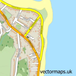
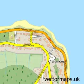
Nearby street map samples around Port Bannatyne

More street maps in Argyll and Bute
750 metre map area coverage
Boundary, postcode and point of interest information for the 750m x 750m rectangle centred on this sample map.
Boundaries containing map centre
Constituency: Argyll, Bute and South Lochaber Co Const
District: Argyll and Bute
Icb: Highland
Ward: Isle of Bute Ward
Nearby boundaries intersecting sample
Postcode District: PA20
Postcode Sector: PA20 0
Postcode coverage
POI category counts
Post Office: 3
Pub: 2
Storage Facility: 2
Active Life: 1
Art Gallery: 1
Bed And Breakfast: 1
Boat Rental And Training: 1
Bridal Shop: 1
Cafe: 1
Currency Exchange: 1
Sample points of interest
- www.porttoports.co.uk
- The Port Gallery, Port Bannatyne
- Port Royal Hotel
- Port To Ports
- Chic Photo
- Caledonia Bistro
- Post Office Travel Money
- Port Bannatyne Golf Club
- Port Bannatyne Golf Club/Junior Section
- Port Bannatyne Marina
- Port Bannatyne Sub Post Office
- Post Office
Create a larger editable map of Port Bannatyne
This sample shows only a 750 metre area. To create a larger map of Port Bannatyne, use our map builder to choose your own coverage area, add titles and download editable SVG, PDF and PNG files.
Create a custom map of Port Bannatyne