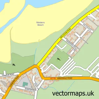
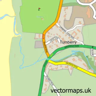
This Dunure street map is a detailed vector street map covering a 750m x 750m area. Select a larger area to create and download your own vector street map of Dunure.
The 750-metre map sample for Dunure covers 103 mapped buildings and approximately 9.0 km of road detail, of which 5 named roads are named. The wider area around Dunure features 2 tourism points of interest, 3 food and drink venues and 1 hotel. To create a larger or custom map of Dunure, the map builder lets you define your own coverage area and download editable SVG, PDF and PNG files.
Create a larger editable map of Dunure
Choose any area you need and generate a high-quality vector map instantly. Perfect for print, planning, design, business and personal use.

This Dunure street map in Ayrshire and Arran is available as downloadable SVG, PDF and PNG map files, or as a printed map for planning, business, display, education, local information and design work. You can also create a larger custom map area using the map selector.
What this Dunure map sample shows
Dunure lies within South Ayrshire parish, part of Maybole, North Carrick And Coylton ward in the South Ayrshire local authority area. The postcode geography for this area includes the KA postcode area, the KA7 postcode district and the KA7 4 postcode sector. Residents fall under the Ayrshire And Arran for NHS services.
Local features near Dunure
Within 2 milesAmenities and services in and around Dunure.
Administrative and postcode information for Dunure
Dunure lies within South Ayrshire parish, part of Maybole, North Carrick And Coylton ward in the South Ayrshire local authority area. The postcode geography for this area includes the KA postcode area, the KA7 postcode district and the KA7 4 postcode sector. Residents fall under the Ayrshire And Arran for NHS services.
Nearby street map samples around Dunure
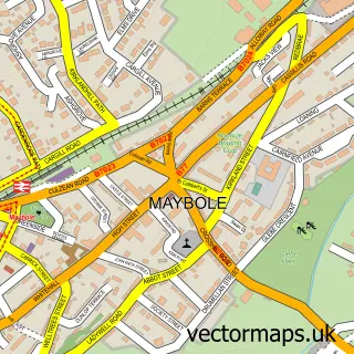

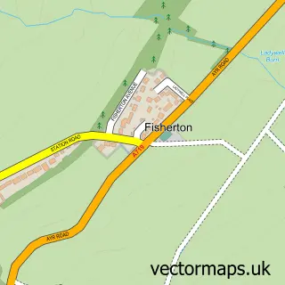
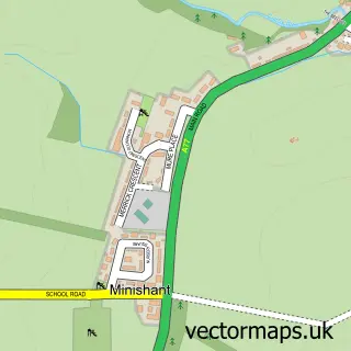
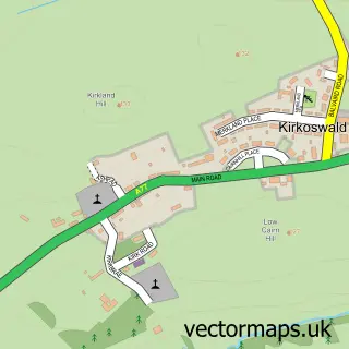
More street maps in Ayrshire and Arran
750 metre map area coverage
Boundary, postcode and point of interest information for the 750m x 750m rectangle centred on this sample map.
Boundaries containing map centre
Constituency: Ayr, Carrick and Cumnock Co Const
District: South Ayrshire
Icb: Ayrshire and Arran
Postcode District: KA7
Postcode Sector: KA7 4
Ward: Maybole, North Carrick and Coylton Ward
Nearby boundaries intersecting sample
No additional intersecting boundaries found.
Postcode coverage
POI category counts
Beach: 2
Coffee Shop: 2
Bike Repair Maintenance: 1
Community Services Non Profits: 1
Convenience Store: 1
Educational Services: 1
Flowers And Gifts Shop: 1
Holiday Rental Home: 1
Hotel: 1
Landmark And Historical Building: 1
Sample points of interest
- Dunure Beach
- Dunure Labyrinth
- Ayrshire Bicycle Repairs
- Harbour View Coffee Shop
- The Harbourside
- Dunure Village
- USAVE
- Course U Can
- Aruna Art and Gifts
- Dunure Harbourside Cottages
- Dunure Inn
- Dunure Castle
Create a larger editable map of Dunure
This sample shows only a 750 metre area. To create a larger map of Dunure, use our map builder to choose your own coverage area, add titles and download editable SVG, PDF and PNG files.
Create a custom map of Dunure