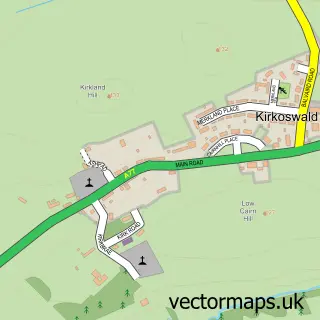
This Kirkmichael street map is a detailed vector street map covering a 750m x 750m area. Select a larger area to create and download your own vector street map of Kirkmichael.
The 750-metre map sample for Kirkmichael covers 132 mapped buildings and approximately 11.7 km of road detail, of which 12 named roads are named. The immediate area includes 2 pubs. The wider area around Kirkmichael features 2 tourism points of interest and 4 food and drink venues. To create a larger or custom map of Kirkmichael, the map builder lets you define your own coverage area and download editable SVG, PDF and PNG files.
Create a larger editable map of Kirkmichael
Choose any area you need and generate a high-quality vector map instantly. Perfect for print, planning, design, business and personal use.

This Kirkmichael street map in Ayrshire and Arran is available as downloadable SVG, PDF and PNG map files, or as a printed map for planning, business, display, education, local information and design work. You can also create a larger custom map area using the map selector.
What this Kirkmichael map sample shows
Kirkmichael lies within South Ayrshire parish, part of Maybole, North Carrick And Coylton ward in the South Ayrshire local authority area. The postcode geography for this area includes the KA postcode area, the KA19 postcode district and the KA19 7 postcode sector. Residents fall under the Ayrshire And Arran for NHS services.
Local features near Kirkmichael
Within 2 milesAmenities and services in and around Kirkmichael.
Administrative and postcode information for Kirkmichael
Kirkmichael lies within South Ayrshire parish, part of Maybole, North Carrick And Coylton ward in the South Ayrshire local authority area. The postcode geography for this area includes the KA postcode area, the KA19 postcode district and the KA19 7 postcode sector. Residents fall under the Ayrshire And Arran for NHS services.
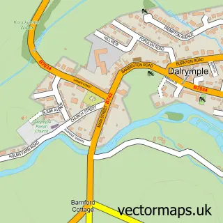
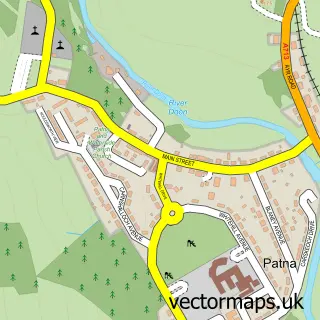
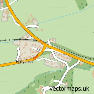
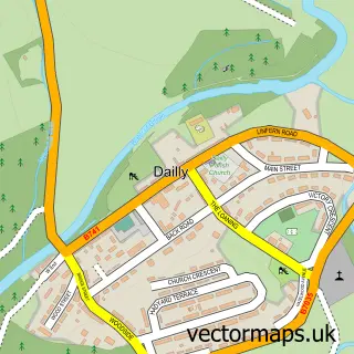
Nearby street map samples around Kirkmichael

More street maps in Ayrshire and Arran
750 metre map area coverage
Boundary, postcode and point of interest information for the 750m x 750m rectangle centred on this sample map.
Boundaries containing map centre
Constituency: Ayr, Carrick and Cumnock Co Const
District: South Ayrshire
Icb: Ayrshire and Arran
Postcode District: KA19
Postcode Sector: KA19 7
Ward: Maybole, North Carrick and Coylton Ward
Nearby boundaries intersecting sample
No additional intersecting boundaries found.
Postcode coverage
POI category counts
Landmark And Historical Building: 2
Pub: 2
Cafe: 1
Church Cathedral: 1
Contractor: 1
Convenience Store: 1
Cottage: 1
Fence And Gate Sales Service: 1
Gastropub: 1
Pet Boarding: 1
Sample points of interest
- Kirkmichael Community Shop and Cafe
- Kirkmichael Parish Church
- W J Thomson Fencing Contractor
- Kirk Michael Community Shop
- Deerhound Cottage
- Jim Thomson Fencing Contractor
- The Kirkmichael Arms.
- Blairquhan Castle & Gardens
- Blairquhan Estate
- Windyhill Kennels
- Kirkmichael Arms
- Maclure Inn
Create a larger editable map of Kirkmichael
This sample shows only a 750 metre area. To create a larger map of Kirkmichael, use our map builder to choose your own coverage area, add titles and download editable SVG, PDF and PNG files.
Create a custom map of Kirkmichael