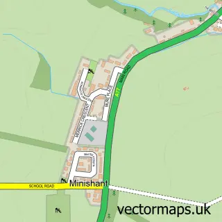
This Kirkoswald street map is a detailed vector street map covering a 750m x 750m area. Select a larger area to create and download your own vector street map of Kirkoswald.
The 750-metre map sample for Kirkoswald covers 100 mapped buildings and approximately 5.7 km of road detail, of which 8 named roads are named. The immediate area includes 1 pub and 1 MOT station, with 2 within 2 miles. The wider area around Kirkoswald features 3 tourism points of interest, 1 food and drink venue and 1 campsite within 2 miles. To create a larger or custom map of Kirkoswald, the map builder lets you define your own coverage area and download editable SVG, PDF and PNG files.
Create a larger editable map of Kirkoswald
Choose any area you need and generate a high-quality vector map instantly. Perfect for print, planning, design, business and personal use.

This Kirkoswald street map in Ayrshire and Arran is available as downloadable SVG, PDF and PNG map files, or as a printed map for planning, business, display, education, local information and design work. You can also create a larger custom map area using the map selector.
What this Kirkoswald map sample shows
Kirkoswald lies within South Ayrshire parish, part of Girvan And South Carrick ward in the South Ayrshire local authority area. The postcode geography for this area includes the KA postcode area, the KA19 postcode district and the KA19 8 postcode sector. Residents fall under the Ayrshire And Arran for NHS services.
Local features near Kirkoswald
Within 2 milesAmenities and services in and around Kirkoswald.
Administrative and postcode information for Kirkoswald
The local authority covering Kirkoswald is South Ayrshire, within the county of Ayrshire And Arran. The settlement lies within Girvan And South Carrick ward and South Ayrshire civil parish. The KA19 postcode district and KA19 8 postcode sector serve the immediate area. NHS provision in the area is delivered through Ayrshire And Arran.
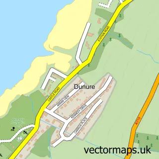
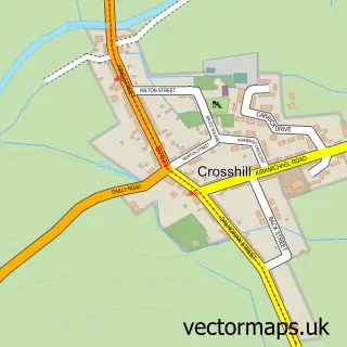
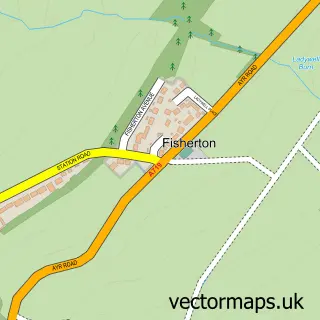
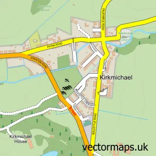
Nearby street map samples around Kirkoswald
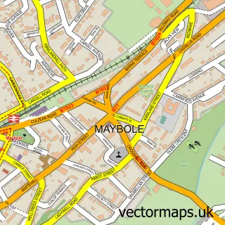

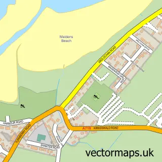
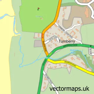
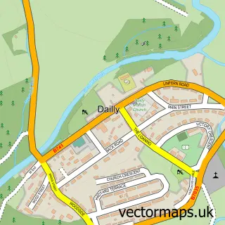
More street maps in Ayrshire and Arran
750 metre map area coverage
Boundary, postcode and point of interest information for the 750m x 750m rectangle centred on this sample map.
Boundaries containing map centre
Constituency: Ayr, Carrick and Cumnock Co Const
District: South Ayrshire
Icb: Ayrshire and Arran
Postcode District: KA19
Postcode Sector: KA19 8
Ward: Girvan and South Carrick Ward
Nearby boundaries intersecting sample
No additional intersecting boundaries found.
Postcode coverage
POI category counts
Beer Wine And Spirits: 2
Liquor Store: 2
Accommodation: 1
Arts And Entertainment: 1
Attractions And Activities: 1
Automotive: 1
Automotive Parts And Accessories: 1
Automotive Repair: 1
Church Cathedral: 1
Convenience Store: 1
Sample points of interest
- Turnbury Golf Resort
- Elspeth Guthrie Art
- Souter Johnnie’s Cottage
- Car Care Centre
- Home or away mobile tyres
- Unipart Car Care Centre
- A. D. Rattray
- A. Dewar Rattray Ltd.
- Kirkoswald Parish Church
- Roll Shop Kirkoswald
- Souter Johnnies Cottage
- NHM Electrical Services
Create a larger editable map of Kirkoswald
This sample shows only a 750 metre area. To create a larger map of Kirkoswald, use our map builder to choose your own coverage area, add titles and download editable SVG, PDF and PNG files.
Create a custom map of Kirkoswald