Vector Maps logo
Home Why it works Popular maps Districts Samples Customizer Create Your Map
VectorMaps.uk
Home Popular maps Districts Samples Customizer Create Your Map Privacy Disclaimer
Home / UK Maps / Ayrshire and Arran / Turnberry Map

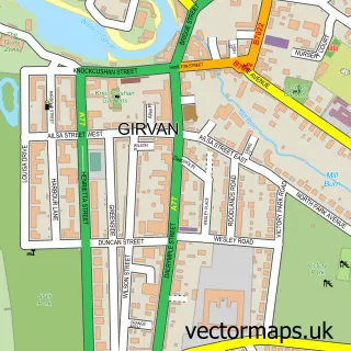
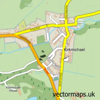
This Turnberry street map is a detailed vector street map covering a 750m x 750m area. Select a larger area to create and download your own vector street map of Turnberry.

Turnberry is a village in Ayrshire And Arran, in the South Scotland of Scotland. Historically, the area formed part of Ayrshire. The settlement falls within the Ayr, Carrick And Cumnock parliamentary constituency. It is served by the KA26 postcode distric

The 750-metre map sample for Turnberry covers 74 mapped buildings and approximately 13.7 km of road detail, of which 8 named roads are named. The immediate area includes 1 MOT station within 2 miles. The wider area around Turnberry features 4 food and drink venues and 1 hotel. To create a larger or custom map of Turnberry, the map builder lets you define your own coverage area and download editable SVG, PDF and PNG files.

74Buildings
13.67 kmRoads
8Named roads
0Residents within 2 miles
Create your own

Create a larger editable map of Turnberry

Choose any area you need and generate a high-quality vector map instantly. Perfect for print, planning, design, business and personal use.

Choose any location
Editable SVG files
Any size up to A0
PDF, PNG & more
Instant download
High quality guaranteed
Create My Custom Map
Secure, private & no credit card required
Turnberry Vector Street Map
750m Sample
Turnberry vector street map sample showing roads, buildings and local features in a 750 metre preview area
Buy Turnberry Map Print from £12.95 Buy Turnberry Digital Map from £6

This Turnberry street map in Ayrshire and Arran is available as downloadable SVG, PDF and PNG map files, or as a printed map for planning, business, display, education, local information and design work. You can also create a larger custom map area using the map selector.

What this Turnberry map sample shows

Turnberry lies within South Ayrshire parish, part of Girvan And South Carrick ward in the South Ayrshire local authority area. The postcode geography for this area includes the KA postcode area, the KA26 postcode district and the KA26 9 postcode sector. Residents fall under the Ayrshire And Arran for NHS services.

Local features near Turnberry

Within 2 miles

Amenities and services in and around Turnberry.

1 MOT stations within 2 miles
4 Food & drink
1 Hotels

Counts are approximate and based on publicly available data.

Administrative and postcode information for Turnberry

The local authority covering Turnberry is South Ayrshire, within the county of Ayrshire And Arran. The settlement lies within Girvan And South Carrick ward and South Ayrshire civil parish. The KA26 postcode district and KA26 9 postcode sector serve the immediate area. NHS provision in the area is delivered through Ayrshire And Arran.

Parish SOUTH AYRSHIRE
Ward Girvan and South Carrick
District / local authority South Ayrshire
County Ayrshire and Arran
Historic county Ayrshire
Postcode district KA26
Postcode sector KA26 9
Parliamentary constituency Ayr, Carrick and Cumnock
Region South Scotland
Country Scotland

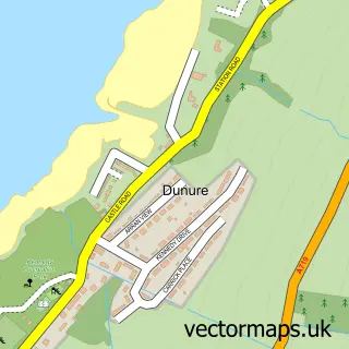
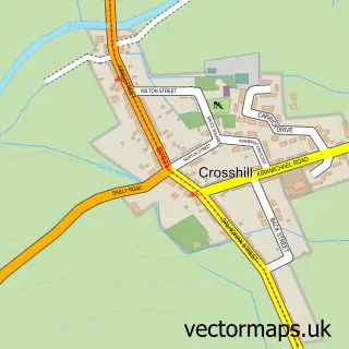
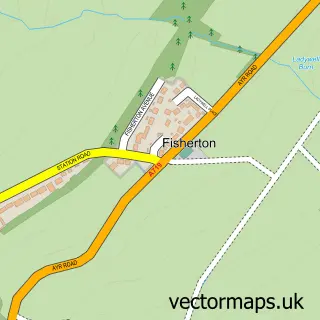
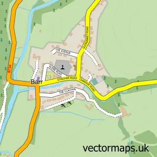
Nearby street map samples around Turnberry

Street map sample of Girvan, Ayrshire and Arran Girvan Town - Ayrshire and Arran - 4.8 miles Street map sample of Glasgow, City of Glasgow Glasgow City - City of Glasgow - 44.4 miles Street map sample of Maidens, Ayrshire and Arran Maidens Village - Ayrshire and Arran - 1.8 miles Street map sample of Kirkoswald, Ayrshire and Arran Kirkoswald Village - Ayrshire and Arran - 2.7 miles Street map sample of Dailly, Ayrshire and Arran Dailly Village - Ayrshire and Arran - 4.8 miles Street map sample of Dunure, Ayrshire and Arran Dunure Village - Ayrshire and Arran - 7.3 miles Street map sample of Crosshill, Ayrshire and Arran Crosshill Village - Ayrshire and Arran - 7.6 miles Street map sample of Fisherton, Ayrshire and Arran Fisherton Village - Ayrshire and Arran - 7.9 miles Street map sample of Barr, Ayrshire and Arran Barr Village - Ayrshire and Arran - 8.4 miles Street map sample of Kirkmichael, Ayrshire and Arran Kirkmichael Village - Ayrshire and Arran - 8.9 miles

More street maps in Ayrshire and Arran

Street map sample of Maidens, Ayrshire and Arran Maidens Village - 1.8 miles Street map sample of Kirkoswald, Ayrshire and Arran Kirkoswald Village - 2.7 miles Street map sample of Dailly, Ayrshire and Arran Dailly Village - 4.8 miles Street map sample of Girvan, Ayrshire and Arran Girvan Town - 4.8 miles Street map sample of Maybole, Ayrshire and Arran Maybole Town - 6.8 miles

750 metre map area coverage

Boundary, postcode and point of interest information for the 750m x 750m rectangle centred on this sample map.

Boundaries containing map centre

Constituency: Ayr, Carrick and Cumnock Co Const

District: South Ayrshire

Icb: Ayrshire and Arran

Postcode District: KA26

Postcode Sector: KA26 9

Ward: Girvan and South Carrick Ward

Nearby boundaries intersecting sample

No additional intersecting boundaries found.

Postcode coverage

KA26 KA26 9

POI category counts

Restaurant: 3

Bed And Breakfast: 2

Art Gallery: 1

Beach: 1

Cafe: 1

Golf Instructor: 1

Hotel: 1

Spas: 1

Sample points of interest

  • Turnberry Gallery Art Gallery
  • Turnberry Beach Beach
  • Fairways Bed and Breakfast Bed And Breakfast
  • Links Lodge Bed And Breakfast
  • Balkenna Tea Room Cafe
  • True Spec Golf Golf Instructor
  • Turnbery Hotel
  • Grand Tea Lounge Restaurant
  • The Turnberry Lighthouse Halfway House Restaurant
  • Turnberry Special Events Restaurant
  • The Spa at Turnberry Spas

Create a larger editable map of Turnberry

This sample shows only a 750 metre area. To create a larger map of Turnberry, use our map builder to choose your own coverage area, add titles and download editable SVG, PDF and PNG files.

Create a custom map of Turnberry

Phone 01751 473136 | Copyright Vectormaps.uk 2026

Samples Customizer Privacy Disclaimer
Turnberry Vector Street Map
Turnberry enlarged street map sample showing a 750 metre preview area