Vector Maps logo
Home Why it works Popular maps Districts Samples Customizer Create Your Map
VectorMaps.uk
Home Popular maps Districts Samples Customizer Create Your Map Privacy Disclaimer
Home / UK Maps / Argyll and Bute / Carradale Map

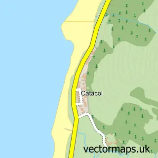
This Carradale street map is a detailed vector street map covering a 750m x 750m area. Select a larger area to create and download your own vector street map of Carradale.

Carradale is a village in Argyll And Bute, in the Highlands And Islands of Scotland. Historically, the area formed part of Argyllshire. The settlement falls within the Argyll And Bute parliamentary constituency. It is served by the PA28 postcode district,

The 750-metre map sample for Carradale covers 143 mapped buildings and approximately 13.0 km of road detail, of which 3 named roads are named. The immediate area includes 1 GP surgery within 2 miles. The wider area around Carradale features 7 hotels and 1 campsite within 2 miles. To create a larger or custom map of Carradale, the map builder lets you define your own coverage area and download editable SVG, PDF and PNG files.

143Buildings
12.99 kmRoads
3Named roads
0Residents within 2 miles
Create your own

Create a larger editable map of Carradale

Choose any area you need and generate a high-quality vector map instantly. Perfect for print, planning, design, business and personal use.

Choose any location
Editable SVG files
Any size up to A0
PDF, PNG & more
Instant download
High quality guaranteed
Create My Custom Map
Secure, private & no credit card required
Carradale Vector Street Map
750m Sample
Carradale vector street map sample showing roads, buildings and local features in a 750 metre preview area
Buy Carradale Map Print from £12.95 Buy Carradale Digital Map from £6

This Carradale street map in Argyll and Bute is available as downloadable SVG, PDF and PNG map files, or as a printed map for planning, business, display, education, local information and design work. You can also create a larger custom map area using the map selector.

What this Carradale map sample shows

Carradale lies within Argyll And Bute parish, part of Kintyre And The Islands ward in the Argyll And Bute local authority area. The postcode geography for this area includes the PA postcode area, the PA28 postcode district and the PA28 6 postcode sector. Local NHS services are provided through Highland.

Local features near Carradale

Within 2 miles

Amenities and services in and around Carradale.

1 Campsites within 2 miles
1 GP surgeries within 2 miles
7 Hotels
1 Vehicle services

Counts are approximate and based on publicly available data.

Administrative and postcode information for Carradale

The local authority covering Carradale is Argyll And Bute, within the county of Argyll And Bute. The settlement lies within Kintyre And The Islands ward and Argyll And Bute civil parish. The PA28 postcode district and PA28 6 postcode sector serve the immediate area. NHS provision in the area is delivered through Highland.

Parish ARGYLL AND BUTE
Ward Kintyre and the Islands
District / local authority Argyll and Bute
County Argyll and Bute
Historic county Argyllshire
Postcode district PA28
Postcode sector PA28 6
Parliamentary constituency Argyll and Bute
Region Highlands and Islands
Country Scotland

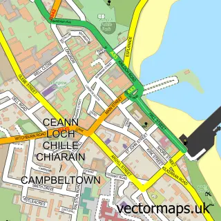
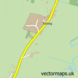
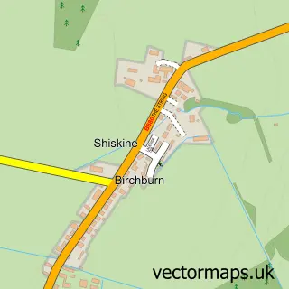
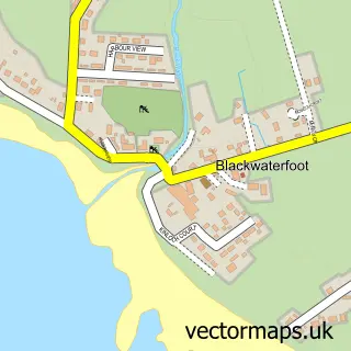
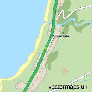
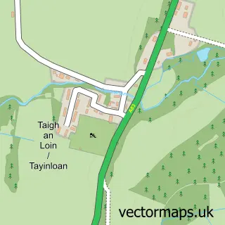
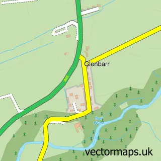
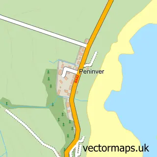
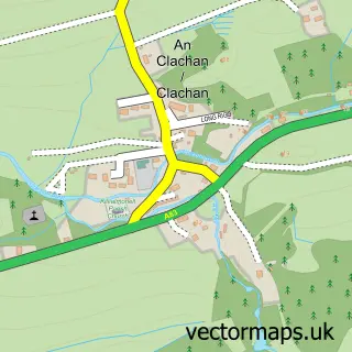
Nearby street map samples around Carradale

Street map sample of Campbeltown, Argyll and Bute Campbeltown Town - Argyll and Bute - 12.6 miles Street map sample of Glasgow, City of Glasgow Glasgow City - City of Glasgow - 51.0 miles Street map sample of Torbeg, Ayrshire and Arran Torbeg Village - Ayrshire and Arran - 7.7 miles Street map sample of Shiskine, Ayrshire and Arran Shiskine Village - Ayrshire and Arran - 8.0 miles Street map sample of Blackwaterfoot, Ayrshire and Arran Blackwaterfoot Village - Ayrshire and Arran - 8.1 miles Street map sample of Muasdale, Argyll and Bute Muasdale Village - Argyll and Bute - 8.4 miles Street map sample of Tayinloan, Argyll and Bute Tayinloan Village - Argyll and Bute - 8.6 miles Street map sample of Glenbarr, Argyll and Bute Glenbarr Village - Argyll and Bute - 9.0 miles Street map sample of Peninver, Argyll and Bute Peninver Village - Argyll and Bute - 9.0 miles Street map sample of Catacol, Ayrshire and Arran Catacol Village - Ayrshire and Arran - 9.2 miles

More street maps in Argyll and Bute

Street map sample of Muasdale, Argyll and Bute Muasdale Village - 8.4 miles Street map sample of Tayinloan, Argyll and Bute Tayinloan Village - 8.6 miles Street map sample of Glenbarr, Argyll and Bute Glenbarr Village - 9.0 miles Street map sample of Peninver, Argyll and Bute Peninver Village - 9.0 miles Street map sample of Clachan, Argyll and Bute Clachan Village - 11.4 miles

750 metre map area coverage

Boundary, postcode and point of interest information for the 750m x 750m rectangle centred on this sample map.

Boundaries containing map centre

Constituency: Argyll, Bute and South Lochaber Co Const

District: Argyll and Bute

Icb: Highland

Postcode District: PA28

Postcode Sector: PA28 6

Ward: Kintyre and the Islands Ward

Nearby boundaries intersecting sample

No additional intersecting boundaries found.

Postcode coverage

PA28 PA28 6

POI category counts

Hotel: 7

Beach: 1

Cottage: 1

Golf Course: 1

Hair Salon: 1

Holiday Rental Home: 1

Home Health Care: 1

Parking: 1

Structure And Geography: 1

Tea Room: 1

Sample points of interest

  • Carradale Bikes and Buggies Beach
  • Kintyre Cottage Cottage
  • Carradale Golf Club Golf Course
  • h'Airds Hair Salon
  • Carradale Cottage Holiday Rental Home
  • Abbeyfield Home Health Care
  • Airds Wood Cottage Hotel
  • Ashbank Hotel Hotel
  • Bayview Holiday Cottage Carradale Hotel
  • Buckhyne Hotel
  • Carradale Hotel Hotel
  • Grianan Self Catering Bungalow Hotel

Create a larger editable map of Carradale

This sample shows only a 750 metre area. To create a larger map of Carradale, use our map builder to choose your own coverage area, add titles and download editable SVG, PDF and PNG files.

Create a custom map of Carradale

Phone 01751 473136 | Copyright Vectormaps.uk 2026

Samples Customizer Privacy Disclaimer
Carradale Vector Street Map
Carradale enlarged street map sample showing a 750 metre preview area