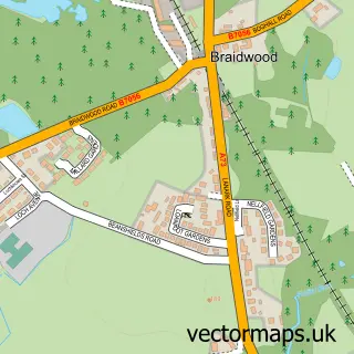
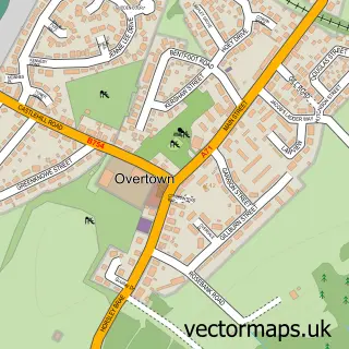
This Carluke street map is a detailed vector street map covering a 750m x 750m area. Select a larger area to create and download your own vector street map of Carluke.
The 750-metre map sample for Carluke covers 458 mapped buildings and approximately 20.5 km of road detail, of which 48 named roads are named. The immediate area includes 2 GP surgeries, 4 pubs and 1 MOT station, with 5 within 2 miles. The wider area around Carluke features 1 tourism point of interest and 13 food and drink venues. To create a larger or custom map of Carluke, the map builder lets you define your own coverage area and download editable SVG, PDF and PNG files.
Create a larger editable map of Carluke
Choose any area you need and generate a high-quality vector map instantly. Perfect for print, planning, design, business and personal use.

This Carluke street map in Lanarkshire is available as downloadable SVG, PDF and PNG map files, or as a printed map for planning, business, display, education, local information and design work. You can also create a larger custom map area using the map selector.
What this Carluke map sample shows
Carluke lies within South Lanarkshire parish, part of Clydesdale West ward in the South Lanarkshire local authority area. The postcode geography for this area includes the ML postcode area, the ML8 postcode district and the ML8 4 postcode sector. Residents fall under the Lanarkshire for NHS services.
Local features near Carluke
Within 2 milesAmenities and services in and around Carluke.
Administrative and postcode information for Carluke
The local authority covering Carluke is South Lanarkshire, within the county of Lanarkshire. The settlement lies within Clydesdale West ward and South Lanarkshire civil parish. The ML8 postcode district and ML8 4 postcode sector serve the immediate area. NHS provision in the area is delivered through Lanarkshire.
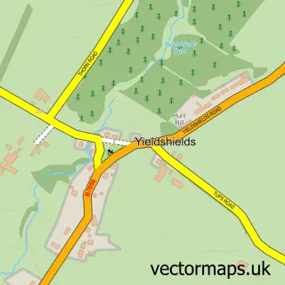
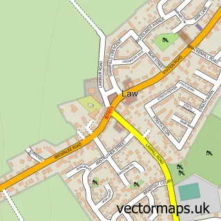
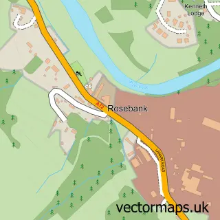
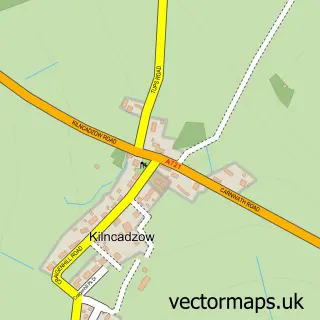
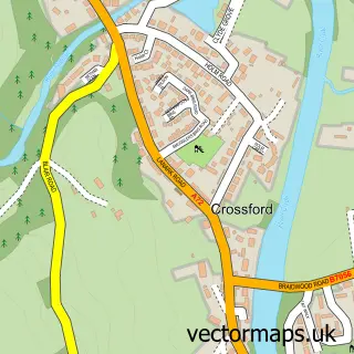
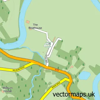
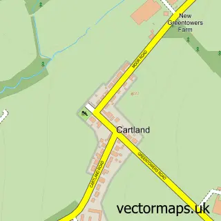
Nearby street map samples around Carluke

More street maps in Lanarkshire
750 metre map area coverage
Boundary, postcode and point of interest information for the 750m x 750m rectangle centred on this sample map.
Boundaries containing map centre
Constituency: Motherwell, Wishaw and Carluke Co Const
District: South Lanarkshire
Icb: Lanarkshire
Postcode District: ML8
Postcode Sector: ML8 4
Ward: Clydesdale West Ward
Nearby boundaries intersecting sample
Postcode Sector: ML8 5
Postcode coverage
POI category counts
Beauty Salon: 11
Hair Salon: 8
Barber: 7
Beauty And Spa: 7
Church Cathedral: 6
Banks: 5
Dentist: 5
Pharmacy: 5
Professional Services: 5
Supermarket: 5
Sample points of interest
- Raja Tandoori
- Carluke Antiques
- Wull's Wood
- bassgeneratorrecords.com
- Canterbury Care
- CJ Lang (Spar) - Carluke, John Street
- A Stewart
- James Street Garage
- Tech Central Repair Centre
- Feel The Warmth Scotland
- Elizabeths Childrens Wear
- Clarks The Bakers
Create a larger editable map of Carluke
This sample shows only a 750 metre area. To create a larger map of Carluke, use our map builder to choose your own coverage area, add titles and download editable SVG, PDF and PNG files.
Create a custom map of Carluke