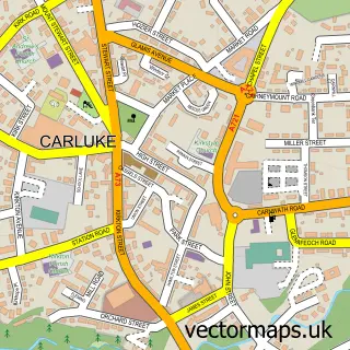
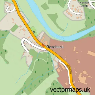
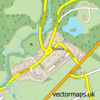
This Law street map is a detailed vector street map covering a 750m x 750m area. Select a larger area to create and download your own vector street map of Law.
The 750-metre map sample for Law covers 466 mapped buildings and approximately 13.0 km of road detail, of which 29 named roads are named. The immediate area includes 1 pub and 6 MOT stations within 2 miles. The wider area around Law features 3 food and drink venues. To create a larger or custom map of Law, the map builder lets you define your own coverage area and download editable SVG, PDF and PNG files.
Create a larger editable map of Law
Choose any area you need and generate a high-quality vector map instantly. Perfect for print, planning, design, business and personal use.

This Law street map in Lanarkshire is available as downloadable SVG, PDF and PNG map files, or as a printed map for planning, business, display, education, local information and design work. You can also create a larger custom map area using the map selector.
What this Law map sample shows
Law lies within South Lanarkshire parish, part of Clydesdale West ward in the South Lanarkshire local authority area. The postcode geography for this area includes the ML postcode area, the ML8 postcode district and the ML8 5 postcode sector. Residents fall under the Lanarkshire for NHS services.
Local features near Law
Within 2 milesAmenities and services in and around Law.
Administrative and postcode information for Law
The local authority covering Law is South Lanarkshire, within the county of Lanarkshire. The settlement lies within Clydesdale West ward and South Lanarkshire civil parish. The ML8 postcode district and ML8 5 postcode sector serve the immediate area. NHS provision in the area is delivered through Lanarkshire.
Nearby street map samples around Law

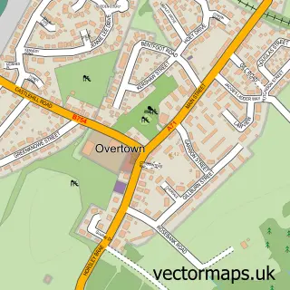
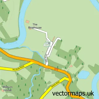
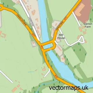
More street maps in Lanarkshire
750 metre map area coverage
Boundary, postcode and point of interest information for the 750m x 750m rectangle centred on this sample map.
Boundaries containing map centre
Constituency: Motherwell, Wishaw and Carluke Co Const
District: South Lanarkshire
Icb: Lanarkshire
Postcode District: ML8
Postcode Sector: ML8 5
Ward: Clydesdale West Ward
Nearby boundaries intersecting sample
No additional intersecting boundaries found.
Postcode coverage
POI category counts
Convenience Store: 3
Grocery Store: 3
Atms: 2
Professional Services: 2
Shipping Center: 2
Assisted Living Facility: 1
Bakery: 1
Beauty And Spa: 1
Beauty Salon: 1
Building Supply Store: 1
Sample points of interest
- Carluke Childrens Home
- PayPoint
- Scotmid - Law 0315, Law
- Auld Store Bar
- Platinum Hair Tan and Beauty
- Alto Wax & Lash Bar
- Ace of Spades Landscapes
- C V D Fire Protection
- J & H Cairns
- Law
- Law Parish Church
- Costa Express
Create a larger editable map of Law
This sample shows only a 750 metre area. To create a larger map of Law, use our map builder to choose your own coverage area, add titles and download editable SVG, PDF and PNG files.
Create a custom map of Law