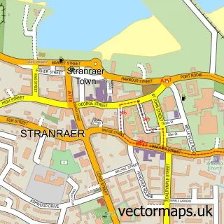
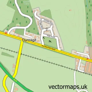
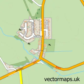
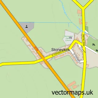
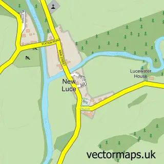
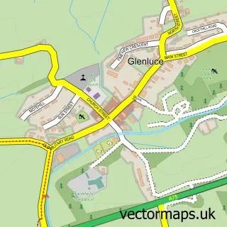
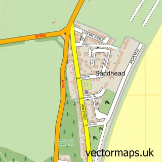
This Castle Kennedy street map is a detailed vector street map covering a 750m x 750m area. Select a larger area to create and download your own vector street map of Castle Kennedy.
The 750-metre map sample for Castle Kennedy covers 109 mapped buildings and approximately 7.8 km of road detail, of which 8 named roads are named. The immediate area includes 1 MOT station within 2 miles. The wider area around Castle Kennedy features 1 hotel. To create a larger or custom map of Castle Kennedy, the map builder lets you define your own coverage area and download editable SVG, PDF and PNG files.
Create a larger editable map of Castle Kennedy
Choose any area you need and generate a high-quality vector map instantly. Perfect for print, planning, design, business and personal use.

This Castle Kennedy street map in Wigtown is available as downloadable SVG, PDF and PNG map files, or as a printed map for planning, business, display, education, local information and design work. You can also create a larger custom map area using the map selector.
What this Castle Kennedy map sample shows
Castle Kennedy lies within Dumfries And Galloway parish, part of Mid Galloway And Wigtown West ward in the Dumfries And Galloway local authority area. The postcode geography for this area includes the DG postcode area, the DG9 postcode district and the DG9 8 postcode sector. Residents fall under the Dumfries And Galloway for NHS services.
Local features near Castle Kennedy
Within 2 milesAmenities and services in and around Castle Kennedy.
Administrative and postcode information for Castle Kennedy
The local authority covering Castle Kennedy is Dumfries And Galloway, within the county of Wigtown. The settlement lies within Mid Galloway And Wigtown West ward and Dumfries And Galloway civil parish. The DG9 postcode district and DG9 8 postcode sector serve the immediate area. NHS provision in the area is delivered through Dumfries And Galloway.
Nearby street map samples around Castle Kennedy

More street maps in Wigtown
750 metre map area coverage
Boundary, postcode and point of interest information for the 750m x 750m rectangle centred on this sample map.
Boundaries containing map centre
Constituency: Dumfries and Galloway Co Const
District: Dumfries and Galloway
Icb: Dumfries and Galloway
Postcode District: DG9
Postcode Sector: DG9 8
Ward: Mid Galloway and Wigtown West Ward
Nearby boundaries intersecting sample
No additional intersecting boundaries found.
Postcode coverage
POI category counts
Gas Station: 4
Business To Business: 1
Convenience Store: 1
Elementary School: 1
Golf Course: 1
Hotel: 1
Laundry Services: 1
Preschool: 1
Rental Kiosks: 1
Sample points of interest
- Certas Energy - Fuel Depot
- SPAR
- Castle Kennedy Primary School
- ESSO INCH
- ESSO Station
- Esso
- Inch Service Station - Penny on the Move
- Green Valley Golf Academy
- Greenloch House CL
- Wash.ME - Penny Petroleum Scotland Ltd Eyemouth
- Castle Kennedy Tiny Tots
- Costa Express
Create a larger editable map of Castle Kennedy
This sample shows only a 750 metre area. To create a larger map of Castle Kennedy, use our map builder to choose your own coverage area, add titles and download editable SVG, PDF and PNG files.
Create a custom map of Castle Kennedy