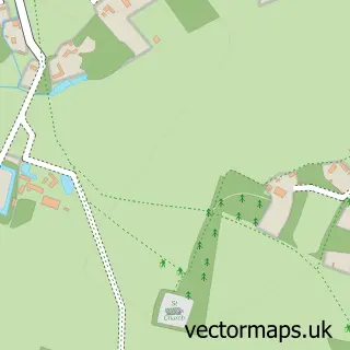
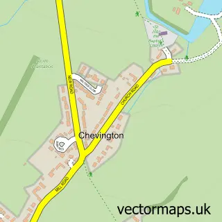
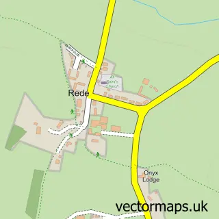
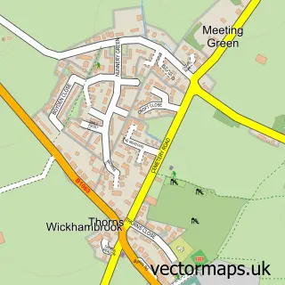
This Chedburgh street map is a detailed vector street map covering a 750m x 750m area. Select a larger area to create and download your own vector street map of Chedburgh.
The 750-metre map sample for Chedburgh covers 177 mapped buildings and approximately 10.8 km of road detail, of which 13 named roads are named. The wider area around Chedburgh features 1 tourism point of interest. To create a larger or custom map of Chedburgh, the map builder lets you define your own coverage area and download editable SVG, PDF and PNG files.
Create a larger editable map of Chedburgh
Choose any area you need and generate a high-quality vector map instantly. Perfect for print, planning, design, business and personal use.

This Chedburgh street map in Suffolk is available as downloadable SVG, PDF and PNG map files, or as a printed map for planning, business, display, education, local information and design work. You can also create a larger custom map area using the map selector.
What this Chedburgh map sample shows
Chedburgh lies within Depden Cp parish, part of Chedburgh & Chevington ward in the West Suffolk District local authority area. The postcode geography for this area includes the IP postcode area, the IP29 postcode district and the IP29 4 postcode sector. Residents fall under the Nhs Suffolk And North East Essex Integrated Care Board for NHS services.
Local features near Chedburgh
Within 2 milesAmenities and services in and around Chedburgh.
Administrative and postcode information for Chedburgh
The local authority covering Chedburgh is West Suffolk District, within the county of Suffolk. The settlement lies within Chedburgh & Chevington ward and Depden Cp civil parish. The IP29 postcode district and IP29 4 postcode sector serve the immediate area. NHS provision in the area is delivered through West Suffolk Nhs Foundation Trust.
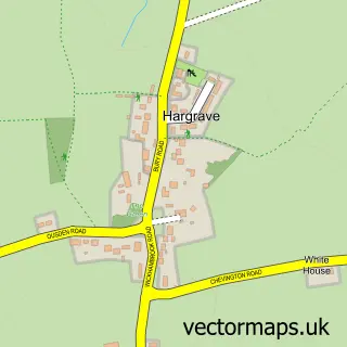
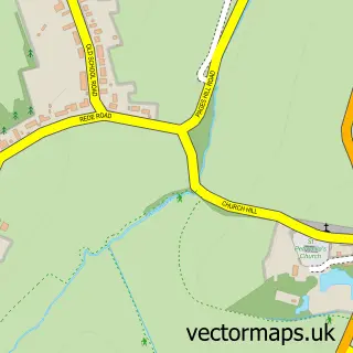
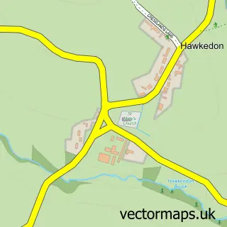
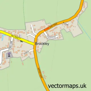
Nearby street map samples around Chedburgh

More street maps in Suffolk
750 metre map area coverage
Boundary, postcode and point of interest information for the 750m x 750m rectangle centred on this sample map.
Boundaries containing map centre
Constituency: West Suffolk Co Const
County: Suffolk County
District: West Suffolk District
Icb: NHS Essex ICB
Parish: Chedburgh CP
Police Force: suffolk
Postcode District: IP29
Postcode Sector: IP29 4
Ward: Chedburgh & Chevington Ward
Nearby boundaries intersecting sample
Parish: Depden CP
Postcode coverage
POI category counts
Contractor: 1
Day Care Preschool: 1
Freight And Cargo Service: 1
It Service And Computer Repair: 1
Kitchen Remodeling: 1
Landmark And Historical Building: 1
Pest Control Service: 1
Retail: 1
Truck Dealer: 1
Wholesale Store: 1
Sample points of interest
- Tradition Tiling
- Green Wellie Day Nursery
- Cars Motorsport
- Mill House Data Solutions
- Strain Measurement Devices
- Chedburgh Phone Box
- Eraserpest Pest Control And Wasp nest removal
- Cars Motorsport
- Volvo Truck & Bus Centre South and East
- Reed Forwarding
Create a larger editable map of Chedburgh
This sample shows only a 750 metre area. To create a larger map of Chedburgh, use our map builder to choose your own coverage area, add titles and download editable SVG, PDF and PNG files.
Create a custom map of Chedburgh