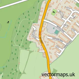
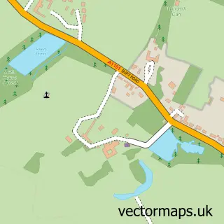
This Bury St Edmunds street map is a detailed vector street map covering a 750m x 750m area. Select a larger area to create and download your own vector street map of Bury St Edmunds.
The 750-metre map sample for Bury St Edmunds covers 282 mapped buildings and approximately 22.9 km of road detail, of which 52 named roads are named. The immediate area includes 3 GP surgeries, with 5 within 2 miles, 16 pubs and 2 MOT stations, with 32 within 2 miles. The wider area around Bury St Edmunds features 8 tourism points of interest, 69 food and drink venues and 6 hotels. To create a larger or custom map of Bury St Edmunds, the map builder lets you define your own coverage area and download editable SVG, PDF and PNG files.
Create a larger editable map of Bury St Edmunds
Choose any area you need and generate a high-quality vector map instantly. Perfect for print, planning, design, business and personal use.

This Bury St Edmunds street map in Suffolk is available as downloadable SVG, PDF and PNG map files, or as a printed map for planning, business, display, education, local information and design work. You can also create a larger custom map area using the map selector.
What this Bury St Edmunds map sample shows
Bury St Edmunds lies within Bury St. Edmunds Cp parish, part of Eastgate ward in the West Suffolk District local authority area. The postcode geography for this area includes the IP postcode area, the IP33 postcode district and the IP33 1 postcode sector. Residents fall under the Nhs Suffolk And North East Essex Integrated Care Board for NHS services.
Local features near Bury St Edmunds
Within 2 milesAmenities and services in and around Bury St Edmunds.
Administrative and postcode information for Bury St Edmunds
The local authority covering Bury St Edmunds is West Suffolk District, within the county of Suffolk. The settlement lies within Eastgate ward and Bury St. Edmunds Cp civil parish. The IP33 postcode district and IP33 1 postcode sector serve the immediate area. NHS provision in the area is delivered through West Suffolk Nhs Foundation Trust.
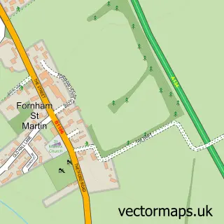
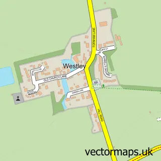
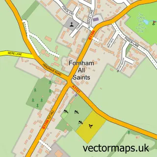
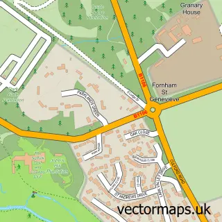
Nearby street map samples around Bury St Edmunds

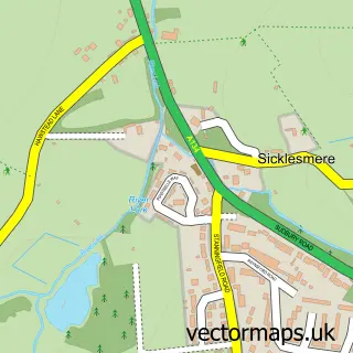
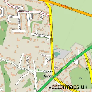
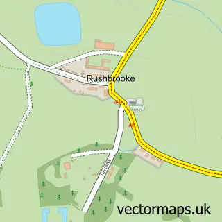
More street maps in Suffolk
750 metre map area coverage
Boundary, postcode and point of interest information for the 750m x 750m rectangle centred on this sample map.
Boundaries containing map centre
Constituency: Bury St. Edmunds and Stowmarket Co Const
County: Suffolk County
District: West Suffolk District
Icb: NHS Essex ICB
Parish: Bury St. Edmunds CP
Police Force: suffolk
Postcode District: IP33
Postcode Sector: IP33 1
Ward: Abbeygate Ward
Nearby boundaries intersecting sample
Postcode Sector: IP33 3
Ward: Eastgate Ward, Tollgate Ward
Postcode coverage
POI category counts
Clothing Store: 38
Real Estate Agent: 27
Beauty Salon: 24
Cafe: 21
Restaurant: 20
Jewelry Store: 18
Hair Salon: 16
Pub: 16
Retail: 15
Shoe Store: 15
Sample points of interest
- Safe Airports
- J A Neale
- Jacobs Allen Chartered Accountants
- Stacey & Partners - Accountants Bury St. Edmunds
- Taxlogic
- Lackford Lakes, Suffolk Wildlife Trust
- Secrets
- Birdwing Design
- Media Managers Ltd
- Teeg
- Flotation
- Neal's Yard Remedies And Therapy Rooms
Create a larger editable map of Bury St Edmunds
This sample shows only a 750 metre area. To create a larger map of Bury St Edmunds, use our map builder to choose your own coverage area, add titles and download editable SVG, PDF and PNG files.
Create a custom map of Bury St Edmunds