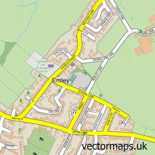
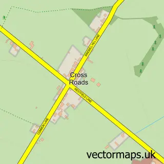
This Clayton West street map is a detailed vector street map covering a 750m x 750m area. Select a larger area to create and download your own vector street map of Clayton West.
The 750-metre map sample for Clayton West covers 570 mapped buildings and approximately 17.5 km of road detail, of which 38 named roads are named. The immediate area includes 2 GP surgeries within 2 miles, 1 pub and 1 MOT station, with 5 within 2 miles. The wider area around Clayton West features 1 tourism point of interest and 5 food and drink venues. To create a larger or custom map of Clayton West, the map builder lets you define your own coverage area and download editable SVG, PDF and PNG files.
Create a larger editable map of Clayton West
Choose any area you need and generate a high-quality vector map instantly. Perfect for print, planning, design, business and personal use.

This Clayton West street map in West Yorkshire is available as downloadable SVG, PDF and PNG map files, or as a printed map for planning, business, display, education, local information and design work. You can also create a larger custom map area using the map selector.
What this Clayton West map sample shows
Clayton West lies within Denby Dale Cp parish, part of Denby Dale ward in the Kirklees District (B) local authority area. The postcode geography for this area includes the HD postcode area, the HD8 postcode district and the HD8 9 postcode sector. Residents fall under the Nhs West Yorkshire Integrated Care Board for NHS services.
Local features near Clayton West
Within 2 milesAmenities and services in and around Clayton West.
Administrative and postcode information for Clayton West
Clayton West lies within Denby Dale Cp parish, part of Denby Dale ward in the Kirklees District (B) local authority area. The postcode geography for this area includes the HD postcode area, the HD8 postcode district and the HD8 9 postcode sector. Residents fall under the Nhs West Yorkshire Integrated Care Board for NHS services.
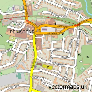
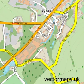
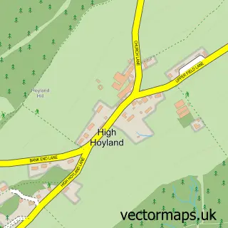
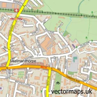
Nearby street map samples around Clayton West

More street maps in West Yorkshire
750 metre map area coverage
Boundary, postcode and point of interest information for the 750m x 750m rectangle centred on this sample map.
Boundaries containing map centre
Constituency: Ossett and Denby Dale Co Const
District: Kirklees District (B)
Icb: NHS West Yorkshire ICB
Parish: Denby Dale CP
Police Force: west yorkshire
Postcode District: HD8
Postcode Sector: HD8 9
Ward: Denby Dale Ward
Nearby boundaries intersecting sample
No additional intersecting boundaries found.
Postcode coverage
POI category counts
Automotive Repair: 3
Professional Services: 3
Advertising Agency: 2
Automotive Services And Repair: 2
Beauty And Spa: 2
Cafe: 2
Coffee Shop: 2
Construction Services: 2
Convenience Store: 2
Courier And Delivery Services: 2
Sample points of interest
- Flow Creative Communications
- Sayers Solutions
- Associated Utility Supplies
- Sound and Light Concepts Ltd.
- Jayray Vehicle Solutions
- Haigh
- S G Blackburn
- The Retro Workshop
- Mr ECU - Remapping and DPF services
- Wardsoft
- Apollo Electronics Corporation Ltd
- Cakes By Leisa
Create a larger editable map of Clayton West
This sample shows only a 750 metre area. To create a larger map of Clayton West, use our map builder to choose your own coverage area, add titles and download editable SVG, PDF and PNG files.
Create a custom map of Clayton West