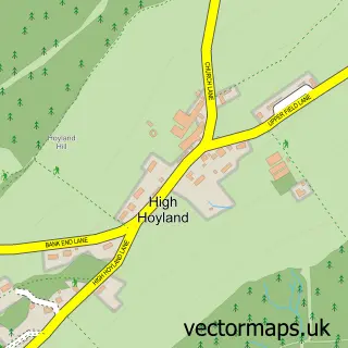
This Emley street map is a detailed vector street map covering a 750m x 750m area. Select a larger area to create and download your own vector street map of Emley.
The 750-metre map sample for Emley covers 347 mapped buildings and approximately 13.8 km of road detail, of which 33 named roads are named. The immediate area includes 1 school, 2 GP surgeries within 2 miles and 6 MOT stations within 2 miles. To create a larger or custom map of Emley, the map builder lets you define your own coverage area and download editable SVG, PDF and PNG files.
Create a larger editable map of Emley
Choose any area you need and generate a high-quality vector map instantly. Perfect for print, planning, design, business and personal use.

This Emley street map in West Yorkshire is available as downloadable SVG, PDF and PNG map files, or as a printed map for planning, business, display, education, local information and design work. You can also create a larger custom map area using the map selector.
What this Emley map sample shows
Emley lies within Denby Dale Cp parish, part of Denby Dale ward in the Kirklees District (B) local authority area. The postcode geography for this area includes the HD postcode area, the HD8 postcode district and the HD8 9 postcode sector. Residents fall under the Nhs West Yorkshire Integrated Care Board for NHS services.
Local features near Emley
Within 2 milesAmenities and services in and around Emley.
Administrative and postcode information for Emley
Emley lies within Denby Dale Cp parish, part of Denby Dale ward in the Kirklees District (B) local authority area. The postcode geography for this area includes the HD postcode area, the HD8 postcode district and the HD8 9 postcode sector. Residents fall under the Nhs West Yorkshire Integrated Care Board for NHS services.
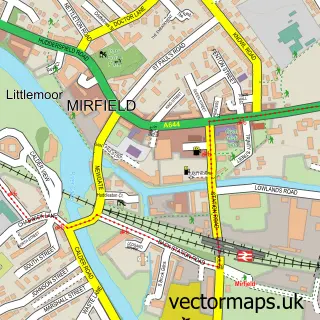
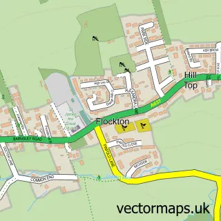
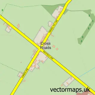
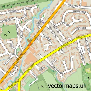
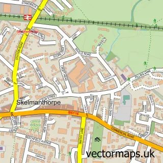
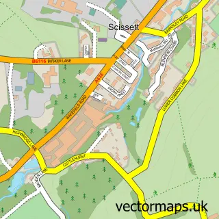
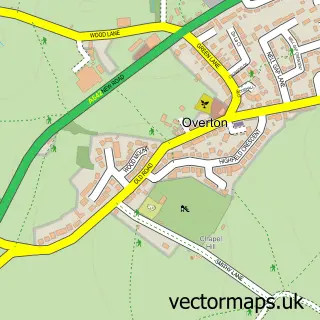
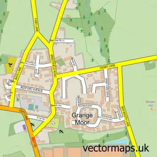
Nearby street map samples around Emley

More street maps in West Yorkshire
750 metre map area coverage
Boundary, postcode and point of interest information for the 750m x 750m rectangle centred on this sample map.
Boundaries containing map centre
Constituency: Ossett and Denby Dale Co Const
District: Kirklees District (B)
Icb: NHS West Yorkshire ICB
Parish: Denby Dale CP
Police Force: west yorkshire
Postcode District: HD8
Postcode Sector: HD8 9
Ward: Denby Dale Ward
Nearby boundaries intersecting sample
No additional intersecting boundaries found.
Postcode coverage
POI category counts
Anglican Church: 2
Convenience Store: 2
Sports Club And League: 2
Appliance Manufacturer: 1
Arts And Crafts: 1
Beer Bar: 1
Books Mags Music And Video: 1
Building Supply Store: 1
Church Cathedral: 1
Community Services Non Profits: 1
Sample points of interest
- St Michael the Archangel
- St Michael's Church
- Victoria Mouldings
- L & R Metcalfe
- Beechfield inn
- Post Office-Emley
- CJP Construction
- Emley Methodist Church
- Wysholme
- Londis
- Premier Emley Food & Wine
- Emley Clarence Cricket Club
Create a larger editable map of Emley
This sample shows only a 750 metre area. To create a larger map of Emley, use our map builder to choose your own coverage area, add titles and download editable SVG, PDF and PNG files.
Create a custom map of Emley