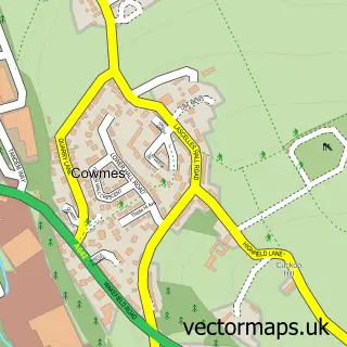
This Grange Moor street map is a detailed vector street map covering a 750m x 750m area. Select a larger area to create and download your own vector street map of Grange Moor.
The 750-metre map sample for Grange Moor covers 239 mapped buildings and approximately 12.6 km of road detail, of which 21 named roads are named. The immediate area includes 1 school, 1 GP surgery within 2 miles, 1 pub and 1 MOT station, with 3 within 2 miles. The wider area around Grange Moor features 1 food and drink venue. To create a larger or custom map of Grange Moor, the map builder lets you define your own coverage area and download editable SVG, PDF and PNG files.
Create a larger editable map of Grange Moor
Choose any area you need and generate a high-quality vector map instantly. Perfect for print, planning, design, business and personal use.

This Grange Moor street map in West Yorkshire is available as downloadable SVG, PDF and PNG map files, or as a printed map for planning, business, display, education, local information and design work. You can also create a larger custom map area using the map selector.
What this Grange Moor map sample shows
Grange Moor lies within Kirkburton Cp parish, part of Kirkburton ward in the Kirklees District (B) local authority area. The postcode geography for this area includes the WF postcode area, the WF4 postcode district and the WF4 4 postcode sector. Residents fall under the Nhs West Yorkshire Integrated Care Board for NHS services.
Local features near Grange Moor
Within 2 milesAmenities and services in and around Grange Moor.
Administrative and postcode information for Grange Moor
The local authority covering Grange Moor is Kirklees District (B), within the county of West Yorkshire. The settlement lies within Kirkburton ward and Kirkburton Cp civil parish. The WF4 postcode district and WF4 4 postcode sector serve the immediate area. NHS provision in the area is delivered through Calderdale And Huddersfield Nhs Foundation Trust.
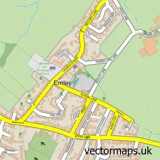
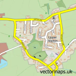
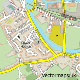
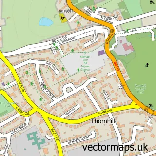
Nearby street map samples around Grange Moor

More street maps in West Yorkshire
750 metre map area coverage
Boundary, postcode and point of interest information for the 750m x 750m rectangle centred on this sample map.
Boundaries containing map centre
Constituency: Dewsbury and Batley Boro Const
District: Kirklees District (B)
Icb: NHS West Yorkshire ICB
Parish: Kirkburton CP
Police Force: west yorkshire
Postcode District: WF4
Postcode Sector: WF4 4
Ward: Kirkburton Ward
Nearby boundaries intersecting sample
Postcode District: WF12
Postcode Sector: WF12 0
Ward: Dewsbury South Ward
Postcode coverage
POI category counts
Convenience Store: 2
Active Life: 1
Anglican Church: 1
Automotive Repair: 1
Church Cathedral: 1
Education: 1
Elementary School: 1
Fish And Chips Restaurant: 1
Gift Shop: 1
Hair Salon: 1
Sample points of interest
- Brownhill Event & Livery Yard
- St Bartholomew
- The Pink Rag Co
- Grange Moor Church
- Grange Moor Village Stores
- Premier Liley Food and Booze
- Upper Whitley Junior and Infant School
- Grange Moor Primary School
- Grangemoor fisheries in grangemoor briestfield rd Wf44eg
- Riverside Cards
- Streakers Hairdressing
- The Pink Rag Company
Create a larger editable map of Grange Moor
This sample shows only a 750 metre area. To create a larger map of Grange Moor, use our map builder to choose your own coverage area, add titles and download editable SVG, PDF and PNG files.
Create a custom map of Grange Moor