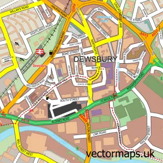
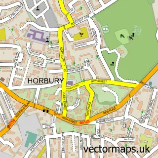
This Thornhill street map is a detailed vector street map covering a 750m x 750m area. Select a larger area to create and download your own vector street map of Thornhill.
The 750-metre map sample for Thornhill covers 489 mapped buildings and approximately 16.5 km of road detail, of which 28 named roads are named. The immediate area includes 1 school, 1 GP surgery, with 10 within 2 miles, 2 pubs and 22 MOT stations within 2 miles. The wider area around Thornhill features 2 tourism points of interest and 2 food and drink venues. To create a larger or custom map of Thornhill, the map builder lets you define your own coverage area and download editable SVG, PDF and PNG files.
Create a larger editable map of Thornhill
Choose any area you need and generate a high-quality vector map instantly. Perfect for print, planning, design, business and personal use.

This Thornhill street map in West Yorkshire is available as downloadable SVG, PDF and PNG map files, or as a printed map for planning, business, display, education, local information and design work. You can also create a larger custom map area using the map selector.
What this Thornhill map sample shows
Thornhill lies within Kirklees District (B) parish, part of Dewsbury South ward in the Kirklees District (B) local authority area. The postcode geography for this area includes the WF postcode area, the WF12 postcode district and the WF12 0 postcode sector. Residents fall under the Nhs West Yorkshire Integrated Care Board for NHS services.
Local features near Thornhill
Within 2 milesAmenities and services in and around Thornhill.
Administrative and postcode information for Thornhill
The local authority covering Thornhill is Kirklees District (B), within the county of West Yorkshire. The settlement lies within Dewsbury South ward and Kirklees District (B) civil parish. The WF12 postcode district and WF12 0 postcode sector serve the immediate area. NHS provision in the area is delivered through Mid Yorkshire Teaching Nhs Trust.
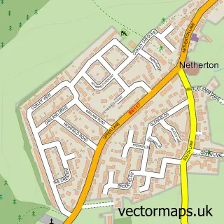
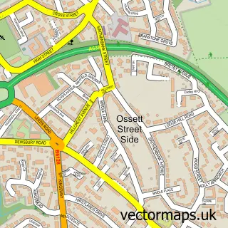
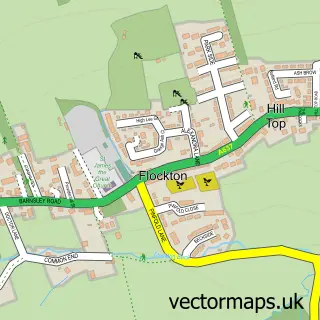
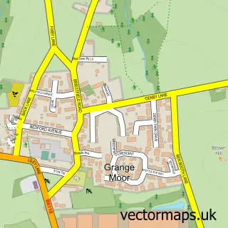
Nearby street map samples around Thornhill

More street maps in West Yorkshire
750 metre map area coverage
Boundary, postcode and point of interest information for the 750m x 750m rectangle centred on this sample map.
Boundaries containing map centre
Constituency: Dewsbury and Batley Boro Const
District: Kirklees District (B)
Icb: NHS West Yorkshire ICB
Police Force: west yorkshire
Postcode District: WF12
Postcode Sector: WF12 0
Ward: Dewsbury South Ward
Nearby boundaries intersecting sample
No additional intersecting boundaries found.
Postcode coverage
POI category counts
Pizza Restaurant: 3
Church Cathedral: 2
Computer Store: 2
Dentist: 2
Hair Salon: 2
Home Service: 2
Pub: 2
Window Washing: 2
Appliance Repair Service: 1
Appliance Store: 1
Sample points of interest
- Sandersons Appliance Services
- Advanced Domestic Appliance Services
- The Cooperative Food (BF) Thornhill, The Town
- Bezmerelda
- Thornhill Cricket and Bowling Club
- Neat Needles Tattoo Studio
- The Lavender Rooms
- Alma Inn The
- M Black Joinery
- Thornhill Chinese
- St Michael and All Angels Church
- Thornhill Parish Church
Create a larger editable map of Thornhill
This sample shows only a 750 metre area. To create a larger map of Thornhill, use our map builder to choose your own coverage area, add titles and download editable SVG, PDF and PNG files.
Create a custom map of Thornhill