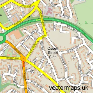
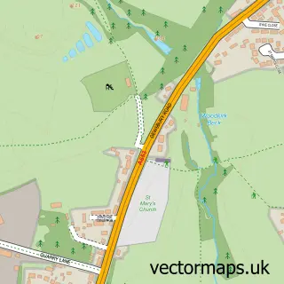
This Dewsbury street map is a detailed vector street map covering a 750m x 750m area. Select a larger area to create and download your own vector street map of Dewsbury.
The 750-metre map sample for Dewsbury covers 170 mapped buildings and approximately 27.6 km of road detail, of which 73 named roads are named. The immediate area includes 1 school, 1 railway station, 2 GP surgeries, with 19 within 2 miles and 8 pubs among other local services. The wider area around Dewsbury features 1 tourism point of interest, 29 food and drink venues and 1 hotel. To create a larger or custom map of Dewsbury, the map builder lets you define your own coverage area and download editable SVG, PDF and PNG files.
Create a larger editable map of Dewsbury
Choose any area you need and generate a high-quality vector map instantly. Perfect for print, planning, design, business and personal use.

This Dewsbury street map in West Yorkshire is available as downloadable SVG, PDF and PNG map files, or as a printed map for planning, business, display, education, local information and design work. You can also create a larger custom map area using the map selector.
What this Dewsbury map sample shows
Dewsbury lies within Kirklees District (B) parish, part of Dewsbury East ward in the Kirklees District (B) local authority area. The postcode geography for this area includes the WF postcode area, the WF12 postcode district and the WF12 7 postcode sector. Residents fall under the Nhs West Yorkshire Integrated Care Board for NHS services.
Local features near Dewsbury
Within 2 milesAmenities and services in and around Dewsbury.
Administrative and postcode information for Dewsbury
The local authority covering Dewsbury is Kirklees District (B), within the county of West Yorkshire. The settlement lies within Dewsbury East ward and Kirklees District (B) civil parish. The WF12 postcode district and WF12 7 postcode sector serve the immediate area. NHS provision in the area is delivered through Mid Yorkshire Teaching Nhs Trust.
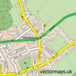
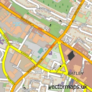
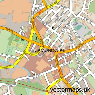
Nearby street map samples around Dewsbury

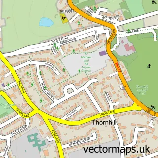
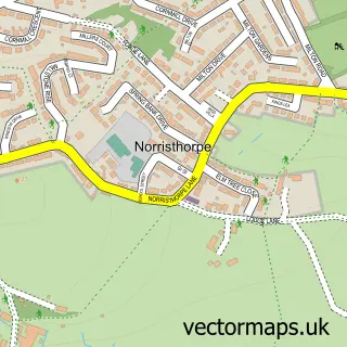
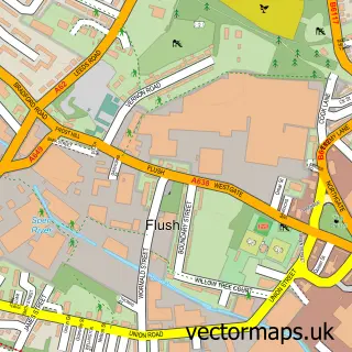
More street maps in West Yorkshire
750 metre map area coverage
Boundary, postcode and point of interest information for the 750m x 750m rectangle centred on this sample map.
Boundaries containing map centre
Constituency: Dewsbury and Batley Boro Const
District: Kirklees District (B)
Icb: NHS West Yorkshire ICB
Police Force: west yorkshire
Postcode District: WF13
Postcode Sector: WF13 1
Ward: Dewsbury East Ward
Nearby boundaries intersecting sample
Postcode District: WF12
Postcode Sector: WF12 7, WF12 8, WF12 9, WF13 2
Ward: Dewsbury South Ward, Dewsbury West Ward
Postcode coverage
POI category counts
Furniture Store: 19
Clothing Store: 16
Fast Food Restaurant: 14
Beauty Salon: 12
Cafe: 11
Jewelry Store: 11
Charity Organization: 10
Hair Salon: 10
Real Estate Agent: 10
Mobile Phone Store: 9
Sample points of interest
- AMS Accountants Group
- Holroyd Miller
- Slimming World
- Premier Amusements
- Dewsbury Minster
- Cancer Research UK
- Kirkwood Hospice Shop
- Scope Charity Shop
- Home World
- Dewsbury Minster
- Infinity Wall Art
- Creative Craft Centre
Create a larger editable map of Dewsbury
This sample shows only a 750 metre area. To create a larger map of Dewsbury, use our map builder to choose your own coverage area, add titles and download editable SVG, PDF and PNG files.
Create a custom map of Dewsbury