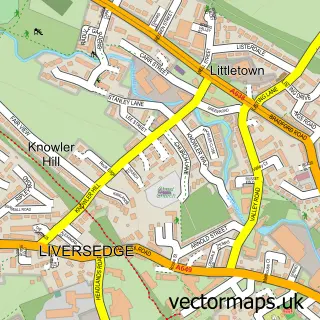
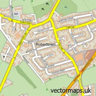
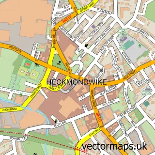
This Millbridge street map is a detailed vector street map covering a 750m x 750m area. Select a larger area to create and download your own vector street map of Millbridge.
The 750-metre map sample for Millbridge covers 447 mapped buildings and approximately 18.1 km of road detail, of which 61 named roads are named. The immediate area includes 1 school, 10 GP surgeries within 2 miles, 2 pubs and 2 MOT stations, with 25 within 2 miles. The wider area around Millbridge features 1 tourism point of interest, 5 food and drink venues and 3 hotels. To create a larger or custom map of Millbridge, the map builder lets you define your own coverage area and download editable SVG, PDF and PNG files.
Create a larger editable map of Millbridge
Choose any area you need and generate a high-quality vector map instantly. Perfect for print, planning, design, business and personal use.

This Millbridge street map in West Yorkshire is available as downloadable SVG, PDF and PNG map files, or as a printed map for planning, business, display, education, local information and design work. You can also create a larger custom map area using the map selector.
What this Millbridge map sample shows
Millbridge lies within Kirklees District (B) parish, part of Liversedge And Gomersal ward in the Kirklees District (B) local authority area. The postcode geography for this area includes the WF postcode area, the WF15 postcode district and the WF15 7 postcode sector. Residents fall under the Nhs West Yorkshire Integrated Care Board for NHS services.
Local features near Millbridge
Within 2 milesAmenities and services in and around Millbridge.
Administrative and postcode information for Millbridge
Millbridge lies within Kirklees District (B) parish, part of Liversedge And Gomersal ward in the Kirklees District (B) local authority area. The postcode geography for this area includes the WF postcode area, the WF15 postcode district and the WF15 7 postcode sector. Residents fall under the Nhs West Yorkshire Integrated Care Board for NHS services.
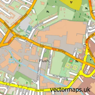
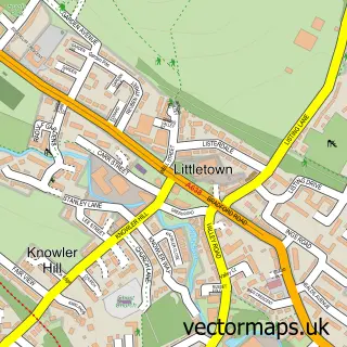
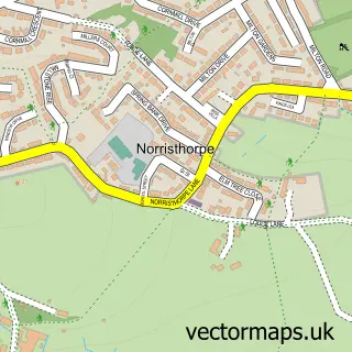
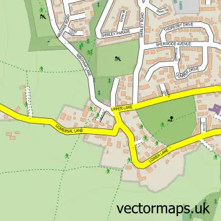
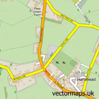
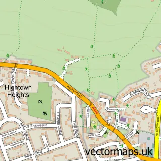
Nearby street map samples around Millbridge

More street maps in West Yorkshire
750 metre map area coverage
Boundary, postcode and point of interest information for the 750m x 750m rectangle centred on this sample map.
Boundaries containing map centre
Constituency: Spen Valley Boro Const
District: Kirklees District (B)
Icb: NHS West Yorkshire ICB
Police Force: west yorkshire
Postcode District: WF15
Postcode Sector: WF15 7
Ward: Heckmondwike Ward
Nearby boundaries intersecting sample
Postcode Sector: WF15 6
Ward: Liversedge and Gomersal Ward
Postcode coverage
POI category counts
Furniture Store: 8
Contractor: 6
Automotive Repair: 5
Building Contractor: 3
Building Supply Store: 3
Hotel: 3
Industrial Equipment: 3
Retail: 3
Barber: 2
Beauty And Spa: 2
Sample points of interest
- Agile Digisoft Limited
- Foodcourt , Liversedge
- Asda (C) Liversedge - Bradford Road PFS
- AutoPaint Northern
- Vehicle dismantles Liversedge
- BFC Motor Spares
- Ashton Clough Autos
- DTB Panther Trikes
- PSN Motors
- RCC Autos
- Supa Shine
- Hair by Jo @ BetsyRosa
Create a larger editable map of Millbridge
This sample shows only a 750 metre area. To create a larger map of Millbridge, use our map builder to choose your own coverage area, add titles and download editable SVG, PDF and PNG files.
Create a custom map of Millbridge