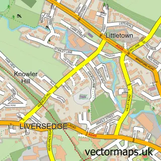
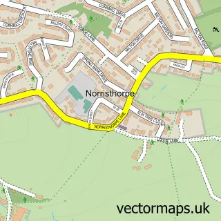
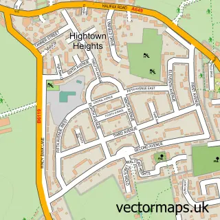
This Littletown street map is a detailed vector street map covering a 750m x 750m area. Select a larger area to create and download your own vector street map of Littletown.
The 750-metre map sample for Littletown covers 381 mapped buildings and approximately 17.7 km of road detail, of which 46 named roads are named. The immediate area includes 1 school, 1 GP surgery, with 10 within 2 miles, 1 pub and 2 MOT stations, with 25 within 2 miles. The wider area around Littletown features 1 food and drink venue. To create a larger or custom map of Littletown, the map builder lets you define your own coverage area and download editable SVG, PDF and PNG files.
Create a larger editable map of Littletown
Choose any area you need and generate a high-quality vector map instantly. Perfect for print, planning, design, business and personal use.

This Littletown street map in West Yorkshire is available as downloadable SVG, PDF and PNG map files, or as a printed map for planning, business, display, education, local information and design work. You can also create a larger custom map area using the map selector.
What this Littletown map sample shows
Littletown lies within Kirklees District (B) parish, part of Liversedge And Gomersal ward in the Kirklees District (B) local authority area. The postcode geography for this area includes the WF postcode area, the WF15 postcode district and the WF15 7 postcode sector. Residents fall under the Nhs West Yorkshire Integrated Care Board for NHS services.
Local features near Littletown
Within 2 milesAmenities and services in and around Littletown.
Administrative and postcode information for Littletown
The local authority covering Littletown is Kirklees District (B), within the county of West Yorkshire. The settlement lies within Liversedge And Gomersal ward and Kirklees District (B) civil parish. The WF15 postcode district and WF15 7 postcode sector serve the immediate area. NHS provision in the area is delivered through Mid Yorkshire Teaching Nhs Trust.
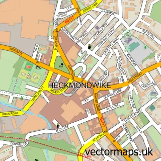
Nearby street map samples around Littletown

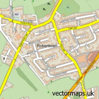
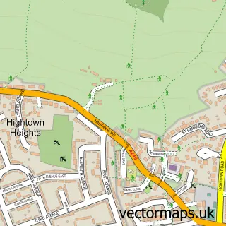
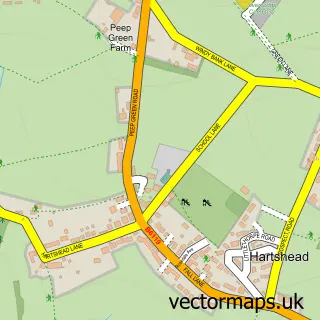
More street maps in West Yorkshire
750 metre map area coverage
Boundary, postcode and point of interest information for the 750m x 750m rectangle centred on this sample map.
Boundaries containing map centre
Constituency: Spen Valley Boro Const
District: Kirklees District (B)
Icb: NHS West Yorkshire ICB
Police Force: west yorkshire
Postcode District: WF15
Postcode Sector: WF15 6
Ward: Liversedge and Gomersal Ward
Nearby boundaries intersecting sample
Postcode District: BD19
Postcode Sector: BD19 4
Postcode coverage
POI category counts
Beauty Salon: 6
Bakery: 3
Engineering Services: 3
Automotive Repair: 2
Beauty And Spa: 2
Church Cathedral: 2
Clothing Store: 2
Convenience Store: 2
Doctor: 2
Fast Food Restaurant: 2
Sample points of interest
- Character Strength & Conditioning
- Cognitive Behaviour Therapy
- DTB Panther Trikes
- WESCO Services
- Greggs
- Watson's Bakery
- Watson's Bakery
- Castle Hill Huddersfield
- House Of Hair & Beauty
- The Style House
- Hair & Scalp Clinic
- Bloom Beauty
Create a larger editable map of Littletown
This sample shows only a 750 metre area. To create a larger map of Littletown, use our map builder to choose your own coverage area, add titles and download editable SVG, PDF and PNG files.
Create a custom map of Littletown