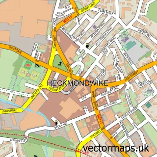
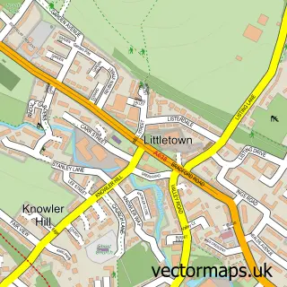
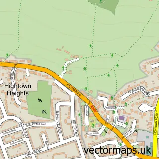
This Norristhorpe street map is a detailed vector street map covering a 750m x 750m area. Select a larger area to create and download your own vector street map of Norristhorpe.
The 750-metre map sample for Norristhorpe covers 363 mapped buildings and approximately 12.0 km of road detail, of which 24 named roads are named. The immediate area includes 1 school, 12 GP surgeries within 2 miles, 1 pub and 26 MOT stations within 2 miles. The wider area around Norristhorpe features 1 tourism point of interest and 1 food and drink venue. To create a larger or custom map of Norristhorpe, the map builder lets you define your own coverage area and download editable SVG, PDF and PNG files.
Create a larger editable map of Norristhorpe
Choose any area you need and generate a high-quality vector map instantly. Perfect for print, planning, design, business and personal use.

This Norristhorpe street map in West Yorkshire is available as downloadable SVG, PDF and PNG map files, or as a printed map for planning, business, display, education, local information and design work. You can also create a larger custom map area using the map selector.
What this Norristhorpe map sample shows
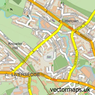
Norristhorpe lies within Kirklees District (B) parish, part of Heckmondwike ward in the Kirklees District (B) local authority area. The postcode geography for this area includes the WF postcode area, the WF16 postcode district and the WF16 0 postcode sector. Residents fall under the Nhs West Yorkshire Integrated Care Board for NHS services.
Local features near Norristhorpe
Within 2 milesAmenities and services in and around Norristhorpe.
Administrative and postcode information for Norristhorpe
Norristhorpe lies within Kirklees District (B) parish, part of Heckmondwike ward in the Kirklees District (B) local authority area. The postcode geography for this area includes the WF postcode area, the WF16 postcode district and the WF16 0 postcode sector. Residents fall under the Nhs West Yorkshire Integrated Care Board for NHS services.
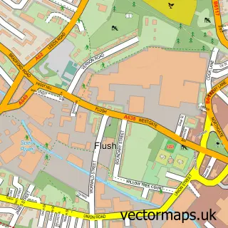
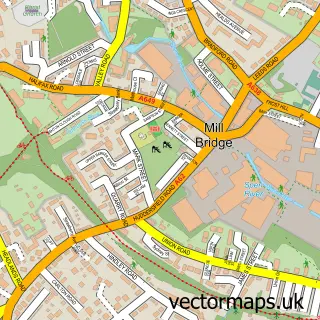
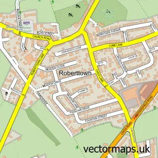
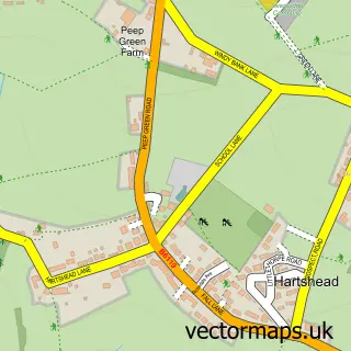
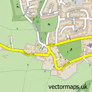
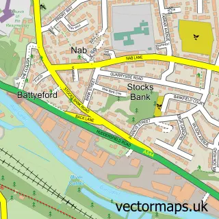
Nearby street map samples around Norristhorpe

More street maps in West Yorkshire
750 metre map area coverage
Boundary, postcode and point of interest information for the 750m x 750m rectangle centred on this sample map.
Boundaries containing map centre
Constituency: Spen Valley Boro Const
District: Kirklees District (B)
Icb: NHS West Yorkshire ICB
Police Force: west yorkshire
Postcode District: WF15
Postcode Sector: WF15 7
Ward: Heckmondwike Ward
Nearby boundaries intersecting sample
No additional intersecting boundaries found.
Postcode coverage
POI category counts
Preschool: 3
Dog Walkers: 2
Hvac Supplier: 2
Professional Services: 2
Advertising Agency: 1
Bar: 1
Building Supply Store: 1
Career Counseling: 1
Carpenter: 1
Construction Services: 1
Sample points of interest
- Leading Edge Creative Design
- Rising Sun
- Powerflushing Specialist
- Cathie Bardell
- Darren Joinery
- Adamco Construction
- Let's Dance
- Furry Walkers
- Woof Woof Walks
- CM Electrical
- Norristhorpe Junior & Infant School
- English Fibres & Yarns
Create a larger editable map of Norristhorpe
This sample shows only a 750 metre area. To create a larger map of Norristhorpe, use our map builder to choose your own coverage area, add titles and download editable SVG, PDF and PNG files.
Create a custom map of Norristhorpe