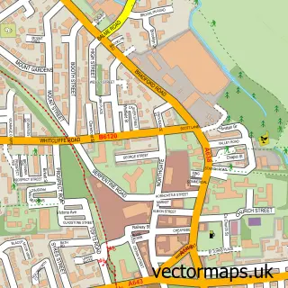
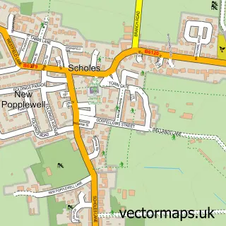
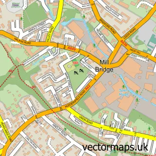
This Windy Bank street map is a detailed vector street map covering a 750m x 750m area. Select a larger area to create and download your own vector street map of Windy Bank.
The 750-metre map sample for Windy Bank covers 497 mapped buildings and approximately 17.3 km of road detail, of which 32 named roads are named. The immediate area includes 1 school, 4 GP surgeries within 2 miles, 1 pub and 15 MOT stations within 2 miles. The wider area around Windy Bank features 1 tourism point of interest, 2 food and drink venues and 1 hotel. To create a larger or custom map of Windy Bank, the map builder lets you define your own coverage area and download editable SVG, PDF and PNG files.
Create a larger editable map of Windy Bank
Choose any area you need and generate a high-quality vector map instantly. Perfect for print, planning, design, business and personal use.

This Windy Bank street map in West Yorkshire is available as downloadable SVG, PDF and PNG map files, or as a printed map for planning, business, display, education, local information and design work. You can also create a larger custom map area using the map selector.
What this Windy Bank map sample shows
Windy Bank lies within Kirklees District (B) parish, part of Cleckheaton ward in the Kirklees District (B) local authority area. The postcode geography for this area includes the BD postcode area, the BD19 postcode district and the BD19 5 postcode sector. Residents fall under the Nhs West Yorkshire Integrated Care Board for NHS services.
Local features near Windy Bank
Within 2 milesAmenities and services in and around Windy Bank.
Administrative and postcode information for Windy Bank
Windy Bank lies within Kirklees District (B) parish, part of Cleckheaton ward in the Kirklees District (B) local authority area. The postcode geography for this area includes the BD postcode area, the BD19 postcode district and the BD19 5 postcode sector. Residents fall under the Nhs West Yorkshire Integrated Care Board for NHS services.
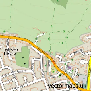
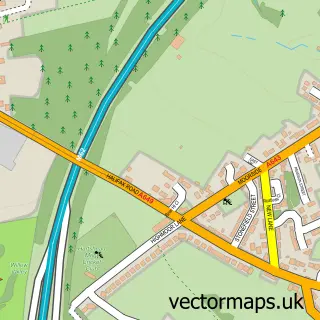
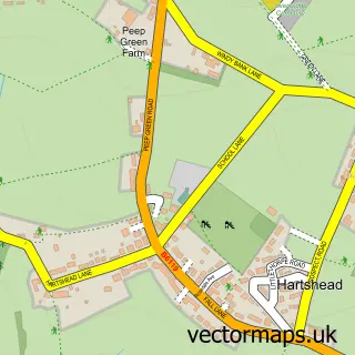
Nearby street map samples around Windy Bank

More street maps in West Yorkshire
750 metre map area coverage
Boundary, postcode and point of interest information for the 750m x 750m rectangle centred on this sample map.
Boundaries containing map centre
Constituency: Spen Valley Boro Const
District: Kirklees District (B)
Icb: NHS West Yorkshire ICB
Police Force: west yorkshire
Postcode District: WF15
Postcode Sector: WF15 8
Ward: Liversedge and Gomersal Ward
Nearby boundaries intersecting sample
Constituency: Calder Valley Co Const
District: Calderdale District (B)
Postcode District: BD19
Postcode Sector: BD19 6
Ward: Brighouse Ward, Cleckheaton Ward
Postcode coverage
POI category counts
Driving School: 3
Beauty Salon: 2
Car Rental Agency: 2
Elementary School: 2
It Service And Computer Repair: 2
Social Service Organizations: 2
Advertising Agency: 1
Airport Shuttles: 1
Arts And Crafts: 1
Auto Restoration Services: 1
Sample points of interest
- Buzz Design
- Compass Executive Travel
- Christmas Eve Crafts
- 70s Car Restoration
- Windybank
- The British Oak
- Glow aesthetics and beauty
- Beautious
- Natty Nails & Spray tanning
- Fastrack Solutions
- Prom and Wedding Car Hire
- Windybank Community Centre
Create a larger editable map of Windy Bank
This sample shows only a 750 metre area. To create a larger map of Windy Bank, use our map builder to choose your own coverage area, add titles and download editable SVG, PDF and PNG files.
Create a custom map of Windy Bank