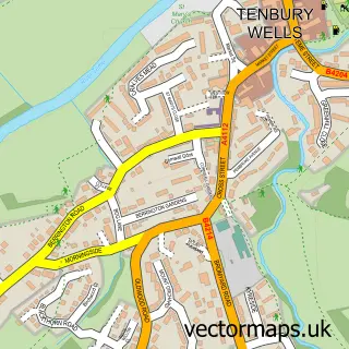
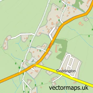
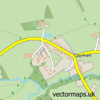
This Cleehill street map is a detailed vector street map covering a 750m x 750m area. Select a larger area to create and download your own vector street map of Cleehill.
The 750-metre map sample for Cleehill covers 216 mapped buildings and approximately 23.8 km of road detail, of which 12 named roads are named. The immediate area includes 1 school, 1 pub and 1 MOT station within 2 miles. The wider area around Cleehill features 1 tourism point of interest and 2 food and drink venues. To create a larger or custom map of Cleehill, the map builder lets you define your own coverage area and download editable SVG, PDF and PNG files.
Create a larger editable map of Cleehill
Choose any area you need and generate a high-quality vector map instantly. Perfect for print, planning, design, business and personal use.

This Cleehill street map in Shropshire is available as downloadable SVG, PDF and PNG map files, or as a printed map for planning, business, display, education, local information and design work. You can also create a larger custom map area using the map selector.
What this Cleehill map sample shows
Cleehill lies within Caynham Cp parish, part of Clee ward in the Shropshire local authority area. The postcode geography for this area includes the SY postcode area, the SY8 postcode district and the SY8 3 postcode sector. Residents fall under the Nhs Shropshire, Telford And Wrekin Integrated Care Board for NHS services.
Local features near Cleehill
Within 2 milesAmenities and services in and around Cleehill.
Administrative and postcode information for Cleehill
The local authority covering Cleehill is Shropshire, within the county of Shropshire. The settlement lies within Clee ward and Caynham Cp civil parish. The SY8 postcode district and SY8 3 postcode sector serve the immediate area. NHS provision in the area is delivered through Worcestershire Acute Hospitals Nhs Trust.
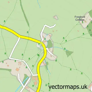
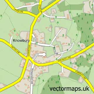
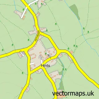
Nearby street map samples around Cleehill

More street maps in Shropshire
750 metre map area coverage
Boundary, postcode and point of interest information for the 750m x 750m rectangle centred on this sample map.
Boundaries containing map centre
Constituency: South Shropshire Co Const
District: Shropshire
Icb: NHS Shropshire Telford and Wrekin ICB
Parish: Caynham CP
Police Force: west mercia
Postcode District: SY8
Postcode Sector: SY8 3
Nearby boundaries intersecting sample
Parish: Coreley CP
Postcode coverage
POI category counts
Building Supply Store: 2
Pet Groomer: 2
Anglican Church: 1
Audiovisual Equipment Rental: 1
Bar: 1
Beauty And Spa: 1
Beauty Salon: 1
Cafe: 1
Church Cathedral: 1
Community Center: 1
Sample points of interest
- Clee Hill: St Peter
- Clee Hill Plant Ltd.
- The Golden Cross
- LiSalon
- The Laurels Beauty - Clee Hill
- RKS Plumbing & Heating Solutions
- Terry L Humphries
- Brewe Clee Hill
- St Peter's Church Clee Hill
- Clee Hill Village Hall
- Premier
- Hawkeye Falconry UK
Create a larger editable map of Cleehill
This sample shows only a 750 metre area. To create a larger map of Cleehill, use our map builder to choose your own coverage area, add titles and download editable SVG, PDF and PNG files.
Create a custom map of Cleehill