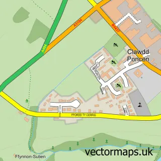
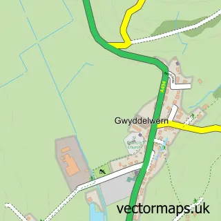
This Corwen street map is a detailed vector street map covering a 750m x 750m area. Select a larger area to create and download your own vector street map of Corwen.
The 750-metre map sample for Corwen covers 137 mapped buildings and approximately 8.6 km of road detail, of which 11 named roads are named. The immediate area includes 1 railway station and 6 pubs. The wider area around Corwen features 5 tourism points of interest, 8 food and drink venues and 4 hotels. To create a larger or custom map of Corwen, the map builder lets you define your own coverage area and download editable SVG, PDF and PNG files.
Create a larger editable map of Corwen
Choose any area you need and generate a high-quality vector map instantly. Perfect for print, planning, design, business and personal use.

This Corwen street map in Clwyd is available as downloadable SVG, PDF and PNG map files, or as a printed map for planning, business, display, education, local information and design work. You can also create a larger custom map area using the map selector.
What this Corwen map sample shows
Corwen lies within Corwen Community parish, part of Corwen ward in the Sir Ddinbych - Denbighshire local authority area. The postcode geography for this area includes the LL postcode area, the LL21 postcode district and the LL21 0 postcode sector. Residents fall under the Betsi Cadwaladr University Health Board for NHS services.
Local features near Corwen
Within 2 milesAmenities and services in and around Corwen.
Administrative and postcode information for Corwen
The local authority covering Corwen is Sir Ddinbych - Denbighshire, within the county of Clwyd. The settlement lies within Corwen ward and Corwen Community civil parish. The LL21 postcode district and LL21 0 postcode sector serve the immediate area. NHS provision in the area is delivered through Betsi Cadwaladr University Health Board.
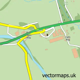
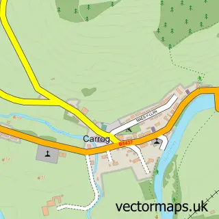
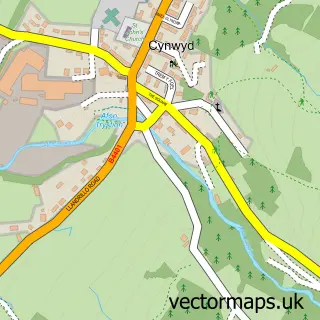
Nearby street map samples around Corwen


More street maps in Clwyd
750 metre map area coverage
Boundary, postcode and point of interest information for the 750m x 750m rectangle centred on this sample map.
Boundaries containing map centre
Constituency: Dwyfor Meirionnydd Co Const
District: Sir Ddinbych - Denbighshire
Icb: Betsi Cadwaladr University
Parish: Corwen Community
Police Force: north wales
Postcode District: LL21
Postcode Sector: LL21 0
Nearby boundaries intersecting sample
Postcode Sector: LL21 9
Postcode coverage
POI category counts
Pub: 6
Hotel: 4
Convenience Store: 3
Retail: 3
Art Gallery: 2
Banks: 2
Bed And Breakfast: 2
Butcher Shop: 2
Doctor: 2
Landmark And Historical Building: 2
Sample points of interest
- Digital Magic
- Corwen FC
- Animal Awareness
- Oriel Corwen Gallery, London House
- DIY & Bargain Store
- NatWest
- NatWest Mobile Branch
- The Bottle Top Bar Corwen
- The Barbershop Corwen
- Bron Y Graig
- Plas Derwen Country House
- Evans Butchers
Create a larger editable map of Corwen
This sample shows only a 750 metre area. To create a larger map of Corwen, use our map builder to choose your own coverage area, add titles and download editable SVG, PDF and PNG files.
Create a custom map of Corwen