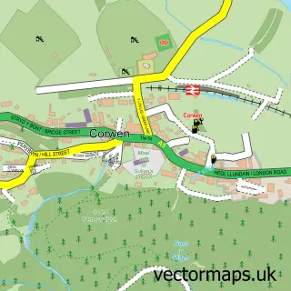
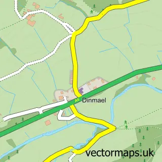
This Cynwyd street map is a detailed vector street map covering a 750m x 750m area. Select a larger area to create and download your own vector street map of Cynwyd.
The 750-metre map sample for Cynwyd covers 149 mapped buildings and approximately 10.1 km of road detail, of which 5 named roads are named. The immediate area includes 1 pub. The wider area around Cynwyd features 2 food and drink venues and 1 hotel. To create a larger or custom map of Cynwyd, the map builder lets you define your own coverage area and download editable SVG, PDF and PNG files.
Create a larger editable map of Cynwyd
Choose any area you need and generate a high-quality vector map instantly. Perfect for print, planning, design, business and personal use.

This Cynwyd street map in Clwyd is available as downloadable SVG, PDF and PNG map files, or as a printed map for planning, business, display, education, local information and design work. You can also create a larger custom map area using the map selector.
What this Cynwyd map sample shows
Cynwyd lies within Cynwyd Community parish, part of Llandrillo ward in the Sir Ddinbych - Denbighshire local authority area. The postcode geography for this area includes the LL postcode area, the LL21 postcode district and the LL21 0 postcode sector. Residents fall under the Betsi Cadwaladr University Health Board for NHS services.
Local features near Cynwyd
Within 2 milesAmenities and services in and around Cynwyd.
Administrative and postcode information for Cynwyd
The local authority covering Cynwyd is Sir Ddinbych - Denbighshire, within the county of Clwyd. The settlement lies within Llandrillo ward and Cynwyd Community civil parish. The LL21 postcode district and LL21 0 postcode sector serve the immediate area. NHS provision in the area is delivered through Betsi Cadwaladr University Health Board.
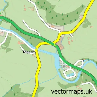
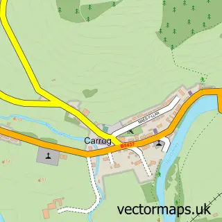
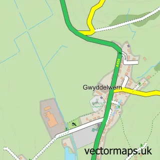
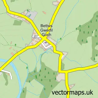
Nearby street map samples around Cynwyd

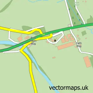
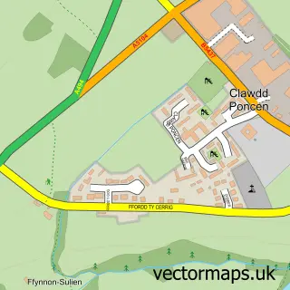
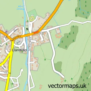
More street maps in Clwyd
750 metre map area coverage
Boundary, postcode and point of interest information for the 750m x 750m rectangle centred on this sample map.
Boundaries containing map centre
Constituency: Dwyfor Meirionnydd Co Const
District: Sir Ddinbych - Denbighshire
Icb: Betsi Cadwaladr University
Parish: Cynwyd Community
Police Force: north wales
Postcode District: LL21
Postcode Sector: LL21 0
Nearby boundaries intersecting sample
No additional intersecting boundaries found.
Postcode coverage
POI category counts
Elementary School: 2
Automotive Repair: 1
Bar: 1
Business Equipment And Supply: 1
Church Cathedral: 1
Coffee Shop: 1
Convenience Store: 1
Costume Store: 1
Flowers And Gifts Shop: 1
Hotel: 1
Sample points of interest
- I & D Roberts
- Blue Lion Hotel
- Ifor Williams Trailers Ltd.
- St John Evangelist Church
- Yum Yums Cafe/Bistro
- SPAR
- Costume Company
- Maes Hyfryd County Primary School
- Ysgol Bro Dyfrdwy
- Bluemoon Gifts
- Capel Carmel
- Cynwyd Post Office
Create a larger editable map of Cynwyd
This sample shows only a 750 metre area. To create a larger map of Cynwyd, use our map builder to choose your own coverage area, add titles and download editable SVG, PDF and PNG files.
Create a custom map of Cynwyd