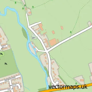
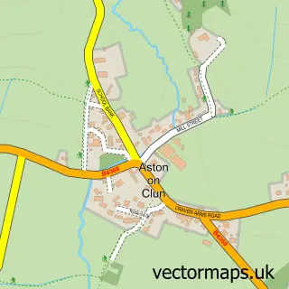
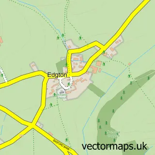
This Craven Arms street map is a detailed vector street map covering a 750m x 750m area. Select a larger area to create and download your own vector street map of Craven Arms.
The 750-metre map sample for Craven Arms covers 335 mapped buildings and approximately 40.2 km of road detail, of which 34 named roads are named. The immediate area includes 1 school, 1 railway station, 1 GP surgery and 1 pub among other local services. The wider area around Craven Arms features 6 tourism points of interest, 5 food and drink venues and 3 hotels. To create a larger or custom map of Craven Arms, the map builder lets you define your own coverage area and download editable SVG, PDF and PNG files.
Create a larger editable map of Craven Arms
Choose any area you need and generate a high-quality vector map instantly. Perfect for print, planning, design, business and personal use.

This Craven Arms street map in Shropshire is available as downloadable SVG, PDF and PNG map files, or as a printed map for planning, business, display, education, local information and design work. You can also create a larger custom map area using the map selector.
What this Craven Arms map sample shows
Craven Arms lies within Craven Arms Cp parish, part of Church Stretton And Craven Arms ward in the Shropshire local authority area. The postcode geography for this area includes the SY postcode area, the SY7 postcode district and the SY7 9 postcode sector. Residents fall under the Nhs Shropshire, Telford And Wrekin Integrated Care Board for NHS services.
Local features near Craven Arms
Within 2 milesAmenities and services in and around Craven Arms.
Administrative and postcode information for Craven Arms
Craven Arms lies within Craven Arms Cp parish, part of Church Stretton And Craven Arms ward in the Shropshire local authority area. The postcode geography for this area includes the SY postcode area, the SY7 postcode district and the SY7 9 postcode sector. Residents fall under the Nhs Shropshire, Telford And Wrekin Integrated Care Board for NHS services.
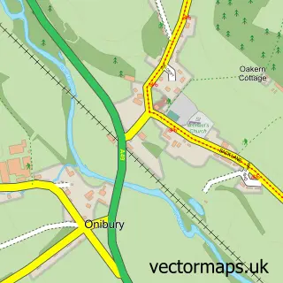
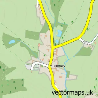
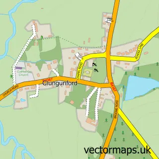
Nearby street map samples around Craven Arms

More street maps in Shropshire
750 metre map area coverage
Boundary, postcode and point of interest information for the 750m x 750m rectangle centred on this sample map.
Boundaries containing map centre
Constituency: South Shropshire Co Const
District: Shropshire
Icb: NHS Shropshire Telford and Wrekin ICB
Parish: Craven Arms CP
Police Force: west mercia
Postcode District: SY7
Postcode Sector: SY7 9
Nearby boundaries intersecting sample
No additional intersecting boundaries found.
Postcode coverage
POI category counts
Bakery: 5
Automotive Repair: 3
Beauty Salon: 3
Books Mags Music And Video: 3
Building Supply Store: 3
Convenience Store: 3
Doctor: 3
Furniture Store: 3
Hotel: 3
Museum: 3
Sample points of interest
- Authority Backlinks Agency
- Pilgrim Centre
- Rose Cottage Cat Rescue
- Craven Vintage
- Morris Corfield & Co
- The Stables
- Barclays ATM
- G A Motor Services ltd
- G a Motor Services
- SB Auto Body Repairs
- Completely Cookied
- Greggs
Create a larger editable map of Craven Arms
This sample shows only a 750 metre area. To create a larger map of Craven Arms, use our map builder to choose your own coverage area, add titles and download editable SVG, PDF and PNG files.
Create a custom map of Craven Arms