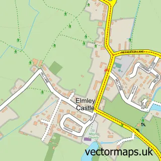
This Cropthorne street map is a detailed vector street map covering a 750m x 750m area. Select a larger area to create and download your own vector street map of Cropthorne.
The 750-metre map sample for Cropthorne covers 152 mapped buildings and approximately 15.9 km of road detail, of which 11 named roads are named. The immediate area includes 1 school. The wider area around Cropthorne features 1 tourism point of interest. To create a larger or custom map of Cropthorne, the map builder lets you define your own coverage area and download editable SVG, PDF and PNG files.
Create a larger editable map of Cropthorne
Choose any area you need and generate a high-quality vector map instantly. Perfect for print, planning, design, business and personal use.

This Cropthorne street map in Worcestershire is available as downloadable SVG, PDF and PNG map files, or as a printed map for planning, business, display, education, local information and design work. You can also create a larger custom map area using the map selector.
What this Cropthorne map sample shows
Cropthorne lies within Cropthorne Cp parish, part of Fladbury ward in the Wychavon District local authority area. The postcode geography for this area includes the WR postcode area, the WR10 postcode district and the WR10 3 postcode sector. Residents fall under the Nhs Herefordshire And Worcestershire Integrated Care Board for NHS services.
Local features near Cropthorne
Within 2 milesAmenities and services in and around Cropthorne.
Administrative and postcode information for Cropthorne
Cropthorne lies within Cropthorne Cp parish, part of Fladbury ward in the Wychavon District local authority area. The postcode geography for this area includes the WR postcode area, the WR10 postcode district and the WR10 3 postcode sector. Residents fall under the Nhs Herefordshire And Worcestershire Integrated Care Board for NHS services.
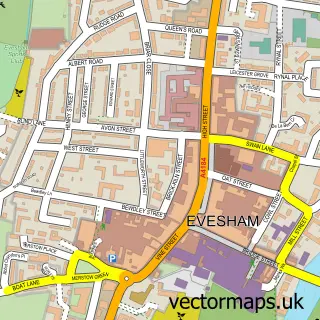
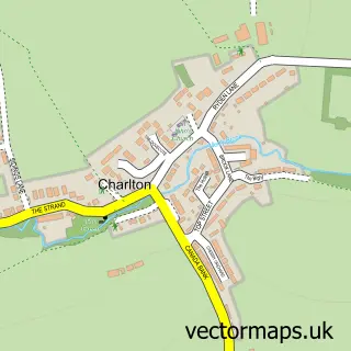
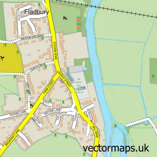
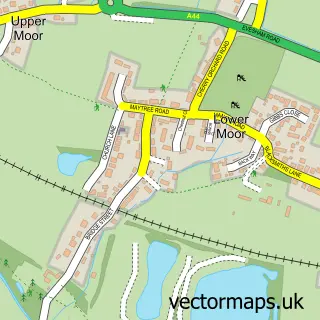
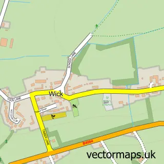
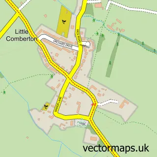
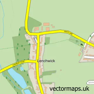
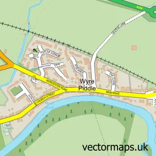
Nearby street map samples around Cropthorne

More street maps in Worcestershire
750 metre map area coverage
Boundary, postcode and point of interest information for the 750m x 750m rectangle centred on this sample map.
Boundaries containing map centre
Constituency: Droitwich and Evesham Co Const
County: Worcestershire County
District: Wychavon District
Icb: NHS Herefordshire and Worcestershire ICB
Parish: Cropthorne CP
Police Force: west mercia
Postcode District: WR10
Postcode Sector: WR10 3
Ward: Fladbury Ward
Nearby boundaries intersecting sample
Parish: Fladbury CP
Postcode Sector: WR10 2
Postcode coverage
POI category counts
Anglican Church: 1
Community Center: 1
Elementary School: 1
Food Beverage Service Distribution: 1
Medical Center: 1
Park: 1
Pet Store: 1
Religious Organization: 1
Wedding Planning: 1
Youth Organizations: 1
Sample points of interest
- Cropthorne Church - FIVE ALIVE PARISH
- Cropthorne and Charlton Village Hall
- Cropthorne With Charlton Church of England First School
- Whisky Exchange Ltd
- Midlands Private Drug and Alcohol Centre
- The Sheppy
- Aquatic
- Holland House
- Green Belle Weddings
- TinyTalk Evesham, Droitwich & Worcester North
Create a larger editable map of Cropthorne
This sample shows only a 750 metre area. To create a larger map of Cropthorne, use our map builder to choose your own coverage area, add titles and download editable SVG, PDF and PNG files.
Create a custom map of Cropthorne