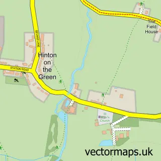
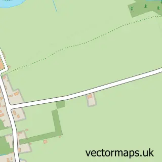
This Elmley Castle street map is a detailed vector street map covering a 750m x 750m area. Select a larger area to create and download your own vector street map of Elmley Castle.
The 750-metre map sample for Elmley Castle covers 180 mapped buildings and approximately 45.4 km of road detail, of which 9 named roads are named. The immediate area includes 1 school and 1 pub. The wider area around Elmley Castle features 1 food and drink venue. To create a larger or custom map of Elmley Castle, the map builder lets you define your own coverage area and download editable SVG, PDF and PNG files.
Create a larger editable map of Elmley Castle
Choose any area you need and generate a high-quality vector map instantly. Perfect for print, planning, design, business and personal use.

This Elmley Castle street map in Worcestershire is available as downloadable SVG, PDF and PNG map files, or as a printed map for planning, business, display, education, local information and design work. You can also create a larger custom map area using the map selector.
What this Elmley Castle map sample shows
Elmley Castle lies within Elmley Castle Cp parish, part of Elmley Castle And Somerville ward in the Wychavon District local authority area. The postcode geography for this area includes the WR postcode area, the WR10 postcode district and the WR10 3 postcode sector. Residents fall under the Nhs Herefordshire And Worcestershire Integrated Care Board for NHS services.
Local features near Elmley Castle
Within 2 milesAmenities and services in and around Elmley Castle.
Administrative and postcode information for Elmley Castle
The local authority covering Elmley Castle is Wychavon District, within the county of Worcestershire. The settlement lies within Elmley Castle And Somerville ward and Elmley Castle Cp civil parish. The WR10 postcode district and WR10 3 postcode sector serve the immediate area. NHS provision in the area is delivered through Worcestershire Acute Hospitals Nhs Trust.
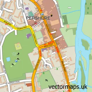
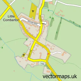
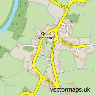
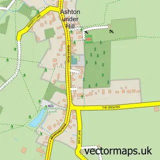
Nearby street map samples around Elmley Castle

More street maps in Worcestershire
750 metre map area coverage
Boundary, postcode and point of interest information for the 750m x 750m rectangle centred on this sample map.
Boundaries containing map centre
Constituency: West Worcestershire Co Const
County: Worcestershire County
District: Wychavon District
Icb: NHS Herefordshire and Worcestershire ICB
Parish: Elmley Castle CP
Police Force: west mercia
Postcode District: WR10
Postcode Sector: WR10 3
Ward: Bredon Hill Ward
Nearby boundaries intersecting sample
No additional intersecting boundaries found.
Postcode coverage
POI category counts
Church Cathedral: 2
Anglican Church: 1
Assisted Living Facility: 1
Building Supply Store: 1
Business: 1
Cricket Ground: 1
Flowers And Gifts Shop: 1
Land Surveying: 1
Post Office: 1
Professional Services: 1
Sample points of interest
- St Mary's, Elmley Castle with Netherton
- Bricklehampton Hall Nursing Home
- Jonathan Siarl Garden Design
- The Aqueous Partnership
- Elmley Castle Church
- Saint Mary the Virgin
- Elmley Castle Cricket Club
- Enchanted Florist
- Launder Steedman
- Post Office
- Sally Jane Photographic Art
- The Queen Elizabeth Inn
Create a larger editable map of Elmley Castle
This sample shows only a 750 metre area. To create a larger map of Elmley Castle, use our map builder to choose your own coverage area, add titles and download editable SVG, PDF and PNG files.
Create a custom map of Elmley Castle