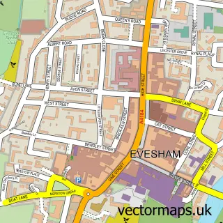
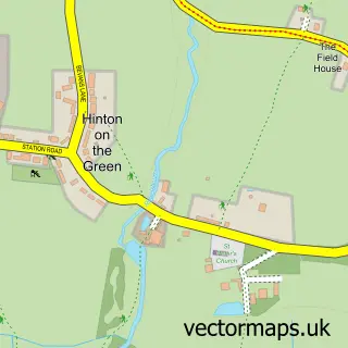
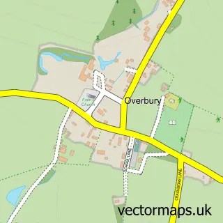
This Ashton Under Hill street map is a detailed vector street map covering a 750m x 750m area. Select a larger area to create and download your own vector street map of Ashton Under Hill.
The 750-metre map sample for Ashton Under Hill covers 122 mapped buildings and approximately 22.9 km of road detail, of which 5 named roads are named. The immediate area includes 1 school, 2 pubs and 1 MOT station within 2 miles. The wider area around Ashton Under Hill features 1 tourism point of interest, 2 food and drink venues and 1 hotel. To create a larger or custom map of Ashton Under Hill, the map builder lets you define your own coverage area and download editable SVG, PDF and PNG files.
Create a larger editable map of Ashton Under Hill
Choose any area you need and generate a high-quality vector map instantly. Perfect for print, planning, design, business and personal use.

This Ashton Under Hill street map in Worcestershire is available as downloadable SVG, PDF and PNG map files, or as a printed map for planning, business, display, education, local information and design work. You can also create a larger custom map area using the map selector.
What this Ashton Under Hill map sample shows
Ashton Under Hill lies within Ashton Under Hill Cp parish, part of South Bredon Hill ward in the Wychavon District local authority area. The postcode geography for this area includes the WR postcode area, the WR11 postcode district and the WR11 7 postcode sector. Residents fall under the Nhs Herefordshire And Worcestershire Integrated Care Board for NHS services.
Local features near Ashton Under Hill
Within 2 milesAmenities and services in and around Ashton Under Hill.
Administrative and postcode information for Ashton Under Hill
The local authority covering Ashton Under Hill is Wychavon District, within the county of Worcestershire. The settlement lies within South Bredon Hill ward and Ashton Under Hill Cp civil parish. The WR11 postcode district and WR11 7 postcode sector serve the immediate area. NHS provision in the area is delivered through Gloucestershire Hospitals Nhs Foundation Trust.
Nearby street map samples around Ashton Under Hill

More street maps in Worcestershire
750 metre map area coverage
Boundary, postcode and point of interest information for the 750m x 750m rectangle centred on this sample map.
Boundaries containing map centre
Constituency: West Worcestershire Co Const
County: Worcestershire County
District: Wychavon District
Icb: NHS Herefordshire and Worcestershire ICB
Parish: Ashton under Hill CP
Police Force: west mercia
Postcode District: WR11
Postcode Sector: WR11 7
Ward: Bredon Hill Ward
Nearby boundaries intersecting sample
No additional intersecting boundaries found.
Postcode coverage
POI category counts
Nursery And Gardening: 3
Pub: 2
Anglican Church: 1
Building Supply Store: 1
Campground: 1
Church Cathedral: 1
Cricket Ground: 1
Dog Trainer: 1
Elementary School: 1
Garbage Collection Service: 1
Sample points of interest
- St Barbara's
- Greenfix Soil Stabilisation and Erosion Control
- Cotswold Nights Away
- St Barbara's Church
- Ashton-under-Hill Cricket Club
- Canine Care Behaviour
- Ashton under Hill First School
- Cotswold Drainage
- Little Big Learners
- Old Post House Barn
- Ashton Laser Clinic
- Potager Plants
Create a larger editable map of Ashton Under Hill
This sample shows only a 750 metre area. To create a larger map of Ashton Under Hill, use our map builder to choose your own coverage area, add titles and download editable SVG, PDF and PNG files.
Create a custom map of Ashton Under Hill